North Brookfield Rail Trail
- 3.9 mi
- round trip
- 849 ft
- climb
- 932 ft
- high point
- Out and back
- route
- Jun–Oct
- best months
North Brookfield Rail Trail is a 7.7-mile out-and-back hike in Massachusetts, about 0.2 miles from the town of North Brookfield. The trail rises to a high point of 932 feet, with a total climb of 849 feet over the course of the round trip. The route is back-loaded, meaning the steeper section comes later, and the steepest stretch is at about 0.34 miles from the start, with a grade of 5 percent. The most comfortable months for a visit are typically June through September, when typical averages from a nearby weather station in Worcester run from highs around 75°F in June to about 71°F in September. Winters are cold, with January highs near 32°F and several snowy days each month from December through February. The trip takes about 3 hours. For more time on foot, Corridor 71 lies about 4.4 miles away, and Fullam Trail is about 5.7 miles off. Climbers can head to Sampson's Pebble, about 5.1 miles away, and anglers can reach the Quaboag River, about 7.2 miles away.
 Corridor 71HikingPhoto: WhitA, CC BY 2.0 (via Flickr)4.4 mi
- Sampson's PebbleRock climbing5.1 mi
- Fullam TrailHiking5.7 mi
- Summit LoopHiking5.8 mi
- The Bubba BoulderRock climbing5.9 mi
- Turdle BoulderRock climbing5.9 mi
- Quaboag RiverRiver fishing7.2 mi
 Ware RiverCanoeingPhoto: John Phelan, CC BY-SA 3.0 (via Wikimedia Commons)9.5 mi
Source: Roamze catalog (indexable pages within 10 miles, PostGIS distance)
- Corridor 71Hiking · ~8 min drivePhoto: WhitA, CC BY 2.0 (via Flickr)
 Hitchcock Mountain TrailHiking · ~13 min drivePhoto: Bobby17543, CC BY-SA 3.0 (via Wikimedia Commons)
- Field Loop TrailHiking · ~14 min drivePhoto: Bobby17543, CC BY-SA 3.0 (via Wikimedia Commons)
- Seven Ridges TrailHiking · ~21 min drive
- South TrailHiking · ~14 min drivePhoto: Bobby17543, CC BY-SA 3.0 (via Wikimedia Commons)
 Cook's Canyon TrailHiking · ~17 min drivePhoto: Paul J. Morris, CC BY-SA 2.0 (via Flickr)
 Long Pond TrailHiking · ~17 min drivePhoto: U.S. Army Corps of Engineers, photographer not specified or unknown, Public domain (via Wikimedia Commons)
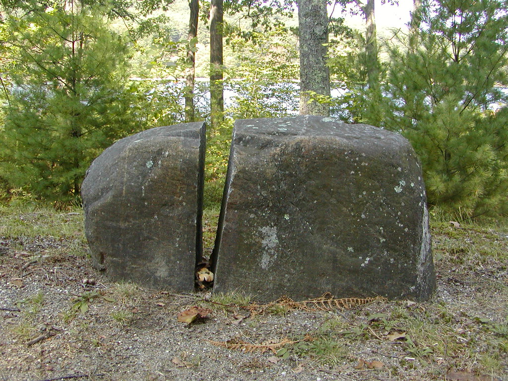 East Gate TrailHiking · ~20 min drivePhoto: Qfamily, CC BY 2.0 (via Flickr)
- Old Stone TrailHiking · ~20 min drivePhoto: Qfamily, CC BY 2.0 (via Flickr)
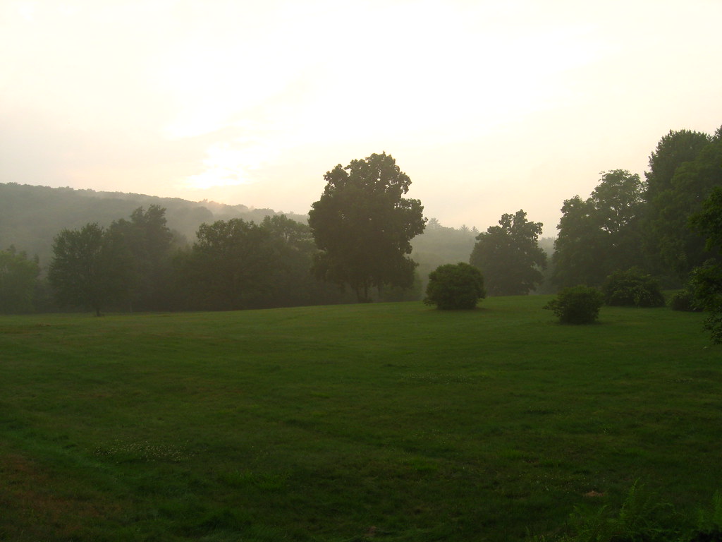 Enfield Lookout TrailHiking · ~22 min drivePhoto: Qfamily, CC BY 2.0 (via Flickr)
Best time to visit North Brookfield Rail Trail
Best months: June–October. Best months have typical highs of 55–85 °F, lows of 30 °F or warmer (32 °F where the station doesn't record snow), at most one snowy day and no more than 12 wet days.
Jan
32° / 17°
12 wet · 7 snow
Feb
35° / 19°
11 wet · 7 snow
Mar
43° / 26°
12 wet · 5 snow
Apr
56° / 36°
13 wet · 1 snow
May
67° / 47°
13 wet
Jun
75° / 56°
12 wet
Jul
80° / 62°
11 wet
Aug
78° / 61°
10 wet
Sep
71° / 53°
10 wet
Oct
59° / 42°
11 wet
Nov
48° / 32°
11 wet · 2 snow
Dec
38° / 23°
12 wet · 5 snow
Typical high / low (°F) and days with rain or snow, 1991–2020. Measured at Worcester Rgnl Ap, MA, 10.6 mi away at 1,000 ft. Source: NOAA NCEI U.S. Climate Normals 1991–2020.
Map and trail data © OpenStreetMap contributors
