Twin Pond Trail
- 1.6 mi
- one way
- 43 ft
- climb
- 169 ft
- high point
- Point to point
- route
- Apr, Jun–Oct
- best months
Twin Pond Trail is a short, easy hike in Massachusetts, about a mile from the town of Rockland. The trail is a point-to-point route of roughly 1.6 miles, with a total elevation gain of about 43 feet and a total loss of about 97 feet. The steepest stretch comes at about 1.1 miles in, with a grade of about 5 percent. Late spring and early fall are the most comfortable times to go. Typical averages from a nearby weather station in Hingham show May highs around 68°F and September highs around 74°F, with July the warmest month at about 83°F. The trail sits on land managed by the Department of Defense, and it makes an easy pairing with other outings in the area. Jim's Trail and the Thompson Pond Trail are both mountain biking routes within half a mile. Paddlers can head to the Indian Head River, about 5 miles away, and climbers will find House Rock about 5 miles off.
- Jim's TrailMountain biking0.3 mi
- Thompson Pond TrailMountain biking0.4 mi
- Albert L Ingeno TrailMountain biking0.4 mi
 Indian Head RiverCanoeingPhoto: 0x0077BE, CC0 (via Wikimedia Commons)5 mi
- House RockRock climbing5.2 mi
- Great River RaceCanoeing6.9 mi
- Whitney Spur Rail Trail AreaRock climbing8 mi
- Elephant Man BoulderRock climbing8 mi
Source: Roamze catalog (indexable pages within 10 miles, PostGIS distance)
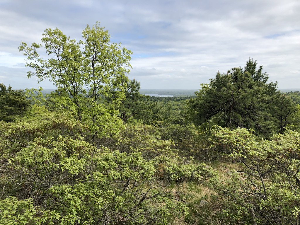 Savoy PathHiking · ~14 min drivePhoto: clembore, CC BY-SA 2.0 (via Flickr)
 Walking City Trail Section 3Hiking · ~26 min drivePhoto: clembore, CC BY-SA 2.0 (via Flickr)
- Walking City Trail Section 1Hiking · ~21 min drive
 Quarries Foot PathHiking · ~15 min drivePhoto: Ktr101, CC BY-SA 2.0 (via Flickr)
- Walking City Trail Section 2Hiking · ~25 min drive
- Red Dot LoopHiking · ~15 min drivePhoto: clembore, CC BY-SA 2.0 (via Flickr)
 Crags Foot PathHiking · ~16 min drivePhoto: Magicpiano, CC BY-SA 3.0 (via Wikimedia Commons)
 Brookwood TrailHiking · ~18 min drivePhoto: niklas.tenhaef1, CC BY-SA 2.0 (via Flickr)
 Coon Hollow PathHiking · ~18 min drivePhoto: niklas.tenhaef1, CC BY-SA 2.0 (via Flickr)
 Pond Edge TrailHiking · ~22 min drivePhoto: Doug Orleans, CC BY-SA 2.0 (via Flickr)
Best time to visit Twin Pond Trail
Best months: April and June–October. Best months have typical highs of 55–85 °F, lows of 30 °F or warmer (32 °F where the station doesn't record snow), at most one snowy day and no more than 12 wet days.
Jan
38° / 22°
13 wet
Feb
40° / 23°
11 wet
Mar
47° / 29°
12 wet
Apr
58° / 38°
12 wet
May
68° / 48°
13 wet
Jun
77° / 57°
11 wet
Jul
83° / 63°
10 wet
Aug
82° / 62°
9 wet
Sep
74° / 55°
9 wet
Oct
63° / 44°
11 wet
Nov
52° / 35°
11 wet
Dec
43° / 27°
12 wet
Typical high / low (°F) and days with rain or snow, 1991–2020. Measured at Hingham, MA, 6.1 mi away at 35 ft. This station doesn't record snowfall. Source: NOAA NCEI U.S. Climate Normals 1991–2020.
Map and trail data © OpenStreetMap contributors
