Reed Loop Trail
- 1.4 mi
- loop
- 380 ft
- climb
- 1,079 ft
- high point
- Loop
- route
- Apr, Jun–Oct
- best months
Reed Loop Trail is a 1.4-mile loop in Swift River Reservation in Massachusetts, managed by a non-governmental organization. The trail is rated easy, and the climb is front-loaded, with the steepest stretch at about 1.2 miles in. The loop starts at roughly 805 feet and reaches a high point of 1,079 feet before returning to the starting elevation, with a total gain and loss of 380 feet each way. Late spring and early fall are the most comfortable times to go. Typical averages from a nearby weather station at Barre Falls Dam show May highs around 70°F and September highs around 75°F, while winter brings regular snow days from December through February. The trail takes about half an hour to complete. The Yellow Loop is just 0.7 miles away, and Cook's Canyon Trail and Soapstone Mtn Trail are both about 4.8 miles off. Paddlers can reach the Ware River, about 6.8 miles away.
- Yellow LoopHiking0.7 mi
 Cook's Canyon TrailHikingPhoto: Paul J. Morris, CC BY-SA 2.0 (via Flickr)4.8 mi
- Soapstone Mtn TrailHiking4.8 mi
- Gates Hill TrailHiking6.7 mi
 Ware RiverCanoeingPhoto: John Phelan, CC BY-SA 3.0 (via Wikimedia Commons)6.8 mi
- Quabbin ReservoirLake fishing8 mi
- Proposed TrailHiking9.4 mi
- Nonesuch Loop (yellow)Hiking9.9 mi
Source: Roamze catalog (indexable pages within 10 miles, PostGIS distance)
- Cook's Canyon TrailHiking · ~8 min drivePhoto: Paul J. Morris, CC BY-SA 2.0 (via Flickr)
 Tully Lake Loop TrailHiking · ~22 min drivePhoto: Ktr101, CC BY-SA 2.0 (via Flickr)
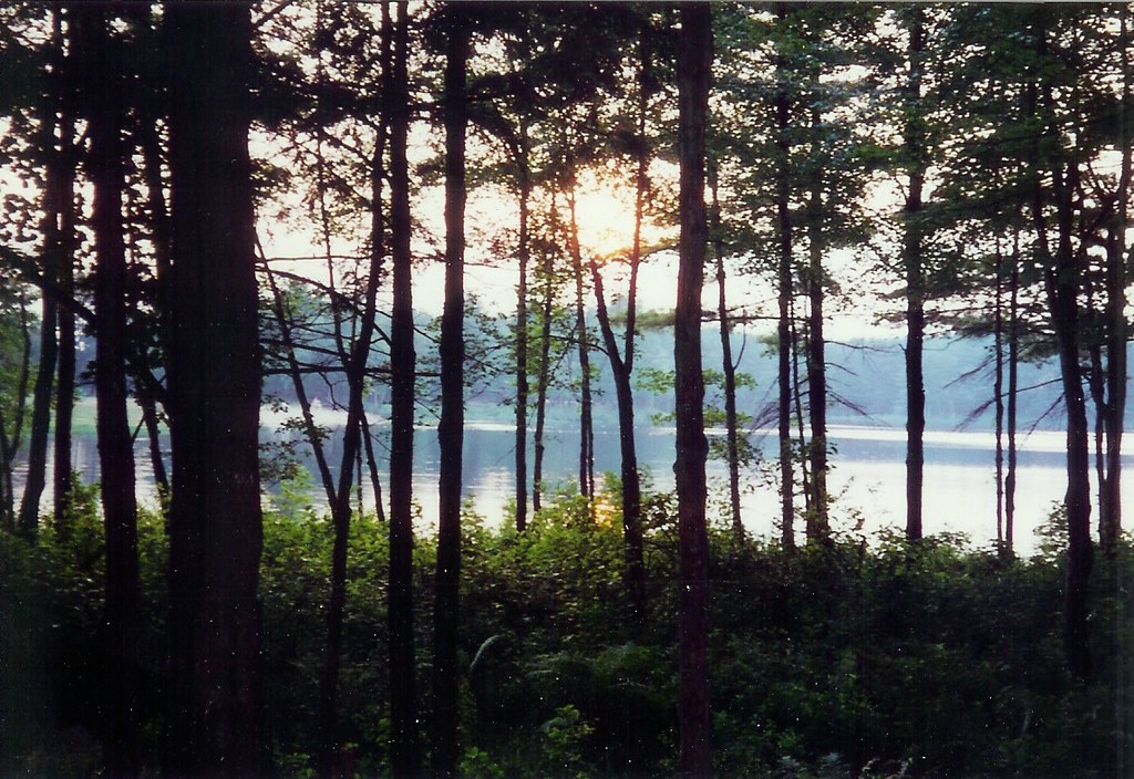 River RoadHiking · ~22 min drivePhoto: Arria Belli, CC BY-SA 2.0 (via Flickr)
- North Brookfield Rail TrailHiking · ~24 min drive
- Diagle TrailHiking · ~23 min drivePhoto: Arria Belli, CC BY-SA 2.0 (via Flickr)
- Ware River Rail TrailHiking · ~25 min drive
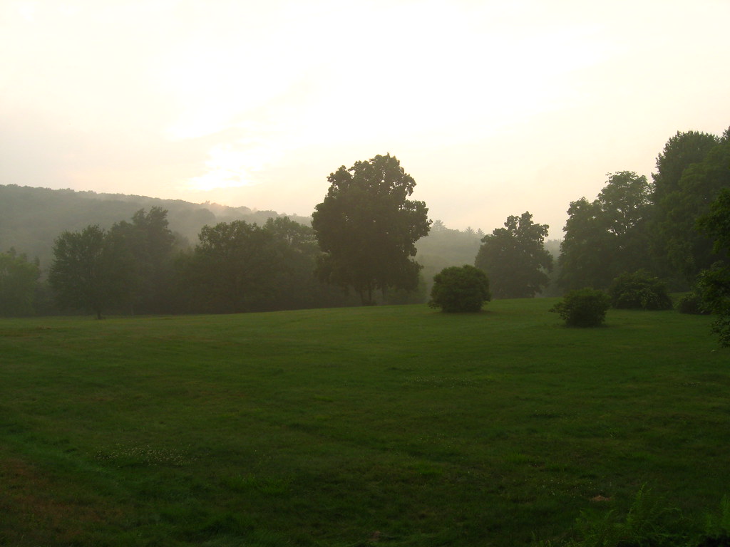 Enfield Lookout TrailHiking · ~24 min drivePhoto: Qfamily, CC BY 2.0 (via Flickr)
- M&M Trail (old route)Hiking · ~25 min drive
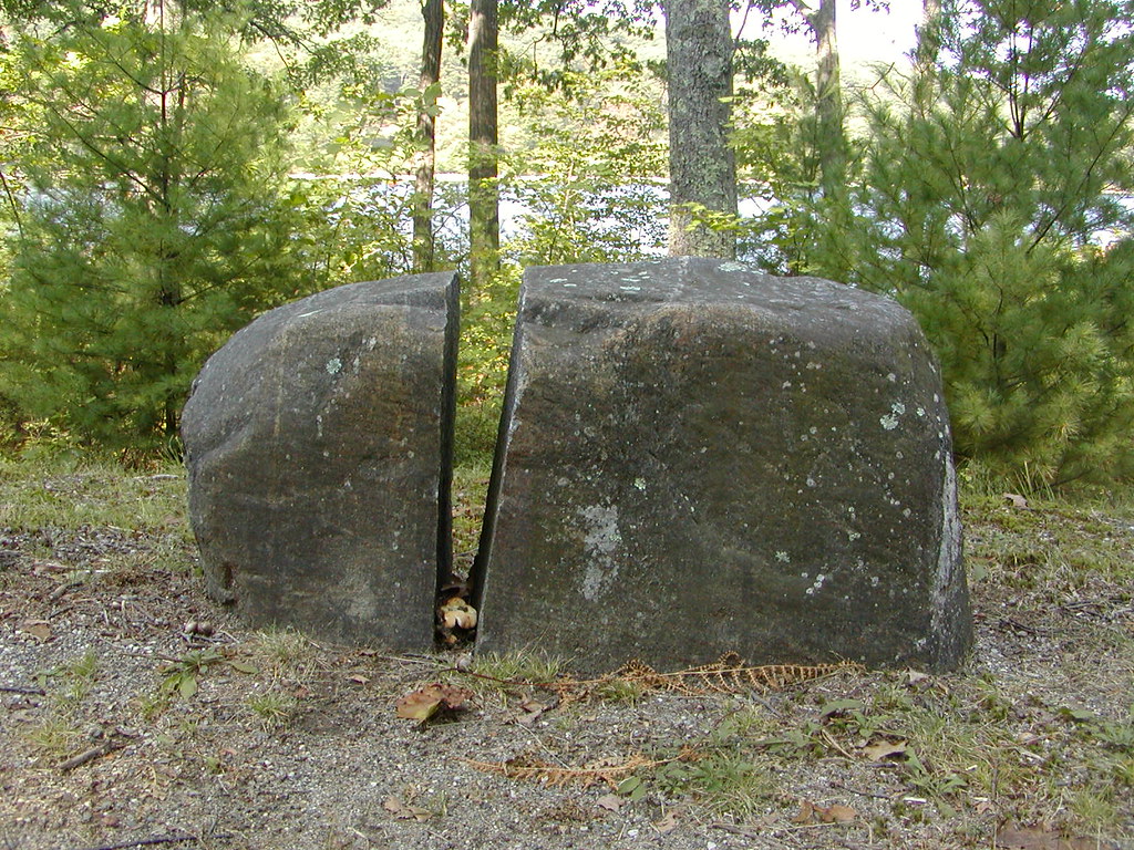 Old Stone TrailHiking · ~24 min drivePhoto: Qfamily, CC BY 2.0 (via Flickr)
- M&M Trail (Old Route)Hiking · ~27 min drive
Best time to visit Reed Loop Trail
Best months: April and June–October. Best months have typical highs of 55–85 °F, lows of 30 °F or warmer (32 °F where the station doesn't record snow), at most one snowy day and no more than 12 wet days.
Jan
35° / 13°
12 wet · 7 snow
Feb
38° / 14°
10 wet · 6 snow
Mar
46° / 22°
12 wet · 4 snow
Apr
59° / 32°
12 wet · 1 snow
May
70° / 43°
14 wet
Jun
78° / 52°
12 wet
Jul
83° / 58°
12 wet
Aug
81° / 55°
11 wet
Sep
75° / 48°
10 wet
Oct
62° / 36°
12 wet
Nov
50° / 27°
11 wet · 2 snow
Dec
40° / 19°
13 wet · 5 snow
Typical high / low (°F) and days with rain or snow, 1991–2020. Measured at Barre Falls Dam, MA, 7.5 mi away at 825 ft. Source: NOAA NCEI U.S. Climate Normals 1991–2020.
Map and trail data © OpenStreetMap contributors
