Proposed Trail
- 2.8 mi
- loop
- 255 ft
- climb
- 1,110 ft
- high point
- Loop
- route
- May–Oct
- best months
Clear today
Weather is good · OpenWeather · checked 8 h ago
Proposed Trail is an easy hike in Massachusetts, about 0.3 miles from East Templeton. The route is roughly 2.8 miles long, with a total elevation gain of 255 feet and a total loss of 278 feet. The steepest stretch comes at about 2.1 miles in, with a grade of about 5 percent. Summer and early fall are the most comfortable times to go. Typical averages from the nearby Ashburnham weather station show July highs around 80°F and September highs near 71°F, with no snow days from May through September. The Upper Otter River Blue Trail, a canoeing route, lies about 1.1 miles away. The Nonesuch Loop (yellow) and Gates Hill Trail are both within about 4 miles. Lake Dennison, a lake fishing spot, is about 6.2 miles off.
- Upper Otter River Blue TrailCanoeing1.1 mi
- Nonesuch Loop (yellow)Hiking3.8 mi
- Gates Hill TrailHiking4.1 mi
- Wilder Mckenzie Nature TrailHiking4.5 mi
- Lake DennisonLake fishing6.2 mi
- Wachusett Mountain AreaRock climbing9.2 mi
- Playground BoulderRock climbing9.4 mi
- Redemption CragRock climbing9.5 mi
Source: Roamze catalog (indexable pages within 10 miles, PostGIS distance)
 River RoadHiking · ~10 min drivePhoto: Arria Belli, CC BY-SA 2.0 (via Flickr)
 Tully Lake Loop TrailHiking · ~17 min drivePhoto: Ktr101, CC BY-SA 2.0 (via Flickr)
- Monadnock Recreational Rail TrailHiking · ~23 min drive
- Diagle TrailHiking · ~11 min drivePhoto: Arria Belli, CC BY-SA 2.0 (via Flickr)
- Ware River Rail TrailHiking · ~12 min drive
- McLaughlin TrailHiking · ~12 min drivePhoto: Arria Belli, CC BY-SA 2.0 (via Flickr)
- Whale Rock LoopHiking · ~21 min drive
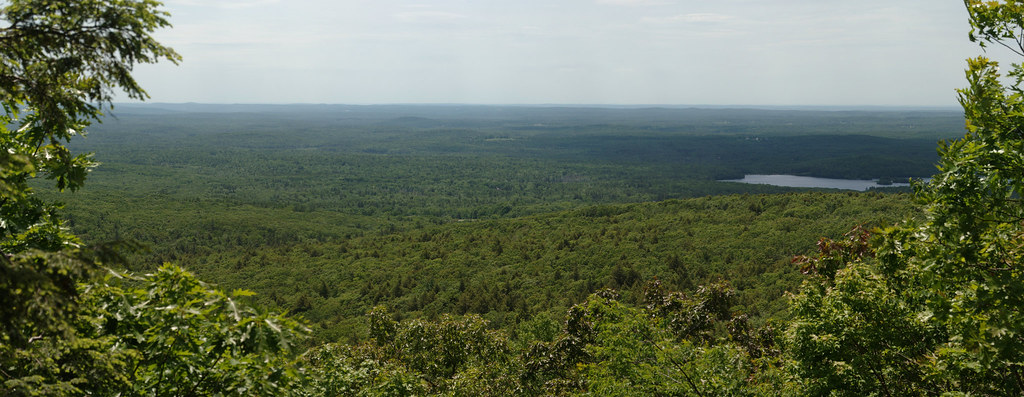 Mountain House TrailHiking · ~16 min drivePhoto: xxv, CC BY-SA 2.0 (via Flickr)
- Monoosnoc Ridge TrailHiking · ~22 min drive
 Cook's Canyon TrailHiking · ~18 min drivePhoto: Paul J. Morris, CC BY-SA 2.0 (via Flickr)
Best time to visit Proposed Trail
Best months: May–October. Best months have typical highs of 55–85 °F, lows of 30 °F or warmer (32 °F where the station doesn't record snow), at most one snowy day and no more than 12 wet days.
Jan
31° / 14°
13 wet · 9 snow
Feb
33° / 15°
11 wet · 8 snow
Mar
41° / 23°
13 wet · 6 snow
Apr
55° / 34°
12 wet · 2 snow
May
66° / 44°
12 wet
Jun
75° / 54°
12 wet
Jul
80° / 60°
11 wet
Aug
78° / 57°
10 wet
Sep
71° / 51°
9 wet
Oct
57° / 39°
11 wet
Nov
46° / 31°
11 wet · 2 snow
Dec
35° / 20°
13 wet · 7 snow
Typical high / low (°F) and days with rain or snow, 1991–2020. Measured at Ashburnham, MA, 7.5 mi away at 1,108 ft. Source: NOAA NCEI U.S. Climate Normals 1991–2020.
Map and trail data © OpenStreetMap contributors
