Old Coach Trail
- 1.0 mi
- one way
- 70 ft
- climb
- 518 ft
- high point
- Point to point
- route
- Apr–Oct
- best months
Old Coach Trail is a short, easy hike in western Massachusetts, about a mile long and rising roughly 70 feet from its starting point. It is a point-to-point route, with the high point at about 518 feet and the low at about 391 feet, and the steepest stretch comes around the 0.6-mile mark at about 11 percent grade. The trail sits about a mile from the town of Hampden, and the nearest town is Hampden itself, about 0.9 miles away. Late spring and early fall are the most comfortable times to go. Typical averages from a nearby weather station in Staffordville, Connecticut, show May highs around 68°F and September highs around 73°F, while July averages about 81°F and January highs sit near 34°F. Bikes are not allowed on this trail. The route is short enough to fit into a quick outing, and it links easily with other trails in the area. Bob's Trail and North Trail both start about 0.1 mile away, and Blue Trail is about 0.2 mile off. For a change of pace, the Scantic River, a canoeing route in Connecticut, lies about 1.7 miles away.
- Bob's TrailHiking0.1 mi
- North TrailHiking0.1 mi
- Blue TrailHiking0.2 mi
 Scantic RiverCanoeingPhoto: John Phelan, CC BY-SA 3.0 (via Wikimedia Commons)1.7 mi
- Battleship RockRock climbing5 mi
- Middle RiverCanoeing7.3 mi
- Bunyan MountainRock climbing7.6 mi
- holding areaRock climbing7.6 mi
Source: Roamze catalog (indexable pages within 10 miles, PostGIS distance)
 Kathy's TrailHiking · Next doorPhoto: clembore, CC BY-SA 2.0 (via Flickr)
- Agawam River TrailHiking · ~17 min drive
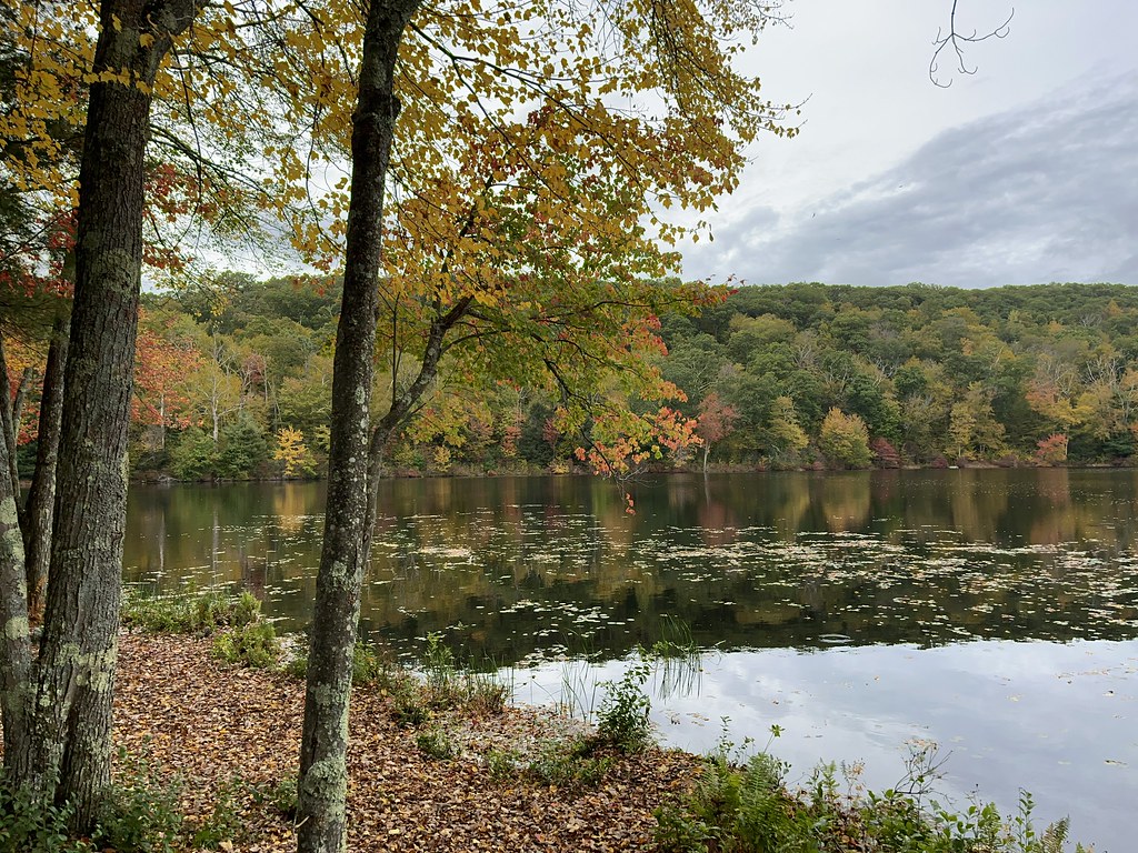 Perkins Mtn Red TrailHiking · ~4 min drivePhoto: randomduck, CC BY-SA 2.0 (via Flickr)
 Old Shenipsit TrailHiking · ~5 min drivePhoto: randomduck, CC BY-SA 2.0 (via Flickr)
- Lower TrailHiking · ~5 min drivePhoto: randomduck, CC BY-SA 2.0 (via Flickr)
- Lakeside TrailHiking · ~5 min drivePhoto: randomduck, CC BY-SA 2.0 (via Flickr)
- Perkins Mtn Orange TrailHiking · ~5 min drivePhoto: randomduck, CC BY-SA 2.0 (via Flickr)
 Blue-Yellow Bypass TrailHiking · ~11 min drivePhoto: randomduck, CC BY-SA 2.0 (via Flickr)
 Shenipsit Forest TrailHiking · ~12 min drivePhoto: randomduck, CC BY-SA 2.0 (via Flickr)
- North TrailHiking · Next door
Best time to visit Old Coach Trail
Best months: April–October. Best months have typical highs of 55–85 °F, lows of 30 °F or warmer (32 °F where the station doesn't record snow), at most one snowy day and no more than 12 wet days.
Jan
34° / 14°
Feb
36° / 15°
Mar
44° / 22°
Apr
57° / 33°
May
68° / 43°
Jun
76° / 53°
Jul
81° / 59°
Aug
79° / 58°
Sep
73° / 51°
Oct
60° / 39°
Nov
49° / 30°
Dec
39° / 21°
Typical high / low (°F) and days with rain or snow, 1991–2020. Measured at Staffordville, CT, 9.6 mi away at 736 ft. This station doesn't record snowfall. Source: NOAA NCEI U.S. Climate Normals 1991–2020.

Map and trail data © OpenStreetMap contributors
