Bob's Trail
- 0.6 mi
- one way
- 292 ft
- climb
- 766 ft
- high point
- Point to point
- route
- Apr–Oct
- best months
Bob's Trail is a short, easy hike of about 0.6 miles on city land within Minnechaug Mountain in Massachusetts. It rises from a low point of about 390 feet to a high of about 766 feet, with a total elevation gain of 292 feet. The climb is point to point, and the steepest stretch comes early, with a grade of about 52% at roughly 0.11 miles in. The most comfortable months for a visit are late spring through early fall. Typical averages from a nearby weather station in Staffordville, Connecticut, run from highs around 68°F in May to about 73°F in September, with July peaking near 81°F. The trail sits close to several other routes. North Trail, Old Coach Trail and Blue Trail all lie about 0.1 mile away. For time on the water, the Scantic River offers canoeing about 1.7 miles off.
- North TrailHiking0.1 mi
- Old Coach TrailHiking0.1 mi
- Blue TrailHiking0.1 mi
 Scantic RiverCanoeingPhoto: John Phelan, CC BY-SA 3.0 (via Wikimedia Commons)1.7 mi
- Battleship RockRock climbing5 mi
- Middle RiverCanoeing7.2 mi
- Bunyan MountainRock climbing7.6 mi
- holding areaRock climbing7.7 mi
Source: Roamze catalog (indexable pages within 10 miles, PostGIS distance)
 Kathy's TrailHiking · Next doorPhoto: clembore, CC BY-SA 2.0 (via Flickr)
- Agawam River TrailHiking · ~17 min drive
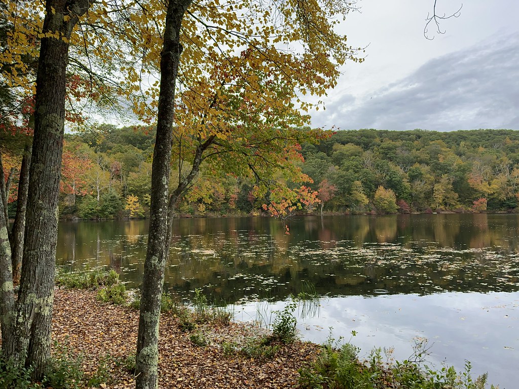 Perkins Mtn Red TrailHiking · ~4 min drivePhoto: randomduck, CC BY-SA 2.0 (via Flickr)
 Old Shenipsit TrailHiking · ~5 min drivePhoto: randomduck, CC BY-SA 2.0 (via Flickr)
- Lower TrailHiking · ~5 min drivePhoto: randomduck, CC BY-SA 2.0 (via Flickr)
- Perkins Mtn Orange TrailHiking · ~5 min drivePhoto: randomduck, CC BY-SA 2.0 (via Flickr)
- Lakeside TrailHiking · ~5 min drivePhoto: randomduck, CC BY-SA 2.0 (via Flickr)
 Blue-Yellow Bypass TrailHiking · ~11 min drivePhoto: randomduck, CC BY-SA 2.0 (via Flickr)
 Shenipsit Forest TrailHiking · ~12 min drivePhoto: randomduck, CC BY-SA 2.0 (via Flickr)
- Old Coach TrailHiking · Next door
Best time to visit Bob's Trail
Best months: April–October. Best months have typical highs of 55–85 °F, lows of 30 °F or warmer (32 °F where the station doesn't record snow), at most one snowy day and no more than 12 wet days.
Jan
34° / 14°
Feb
36° / 15°
Mar
44° / 22°
Apr
57° / 33°
May
68° / 43°
Jun
76° / 53°
Jul
81° / 59°
Aug
79° / 58°
Sep
73° / 51°
Oct
60° / 39°
Nov
49° / 30°
Dec
39° / 21°
Typical high / low (°F) and days with rain or snow, 1991–2020. Measured at Staffordville, CT, 9.5 mi away at 736 ft. This station doesn't record snowfall. Source: NOAA NCEI U.S. Climate Normals 1991–2020.

Map and trail data © OpenStreetMap contributors
