Agawam River Trail
- 6.3 mi
- one way
- 31 ft
- climb
- 90 ft
- high point
- Point to point
- route
- Apr–Oct
- best months
The Agawam River Trail is a 6.25-mile hike in western Massachusetts, about a mile from the town of Hubbard Corner. It is a moderate route with a total elevation gain of 31 feet, so it stays mostly flat. The trail is a point-to-point route, and the steepest stretch comes at about 3.1 miles in, where the grade reaches 7%. For comfortable weather, late spring and early fall are the best bets. Typical averages from a nearby weather station in Hartford, Connecticut, show May highs around 72°F and September highs around 76°F, with September also seeing the fewest wet days of the year. Horses are not allowed on this trail. Paddlers can head to Muddy Brook, about 4.3 miles away, or Stony Brook, about 7 miles off. Mountain bikers will find the Westfield River Trail at a similar distance, and the Rim Trail offers another hike about 6 miles away.
- Muddy BrookCanoeing4.3 mi
- Westfield River TrailMountain biking4.3 mi
- NET/M&M Trail (white)Mountain biking5 mi
- Rim TrailHiking6 mi
- Shore TrailHiking6.3 mi
- Stony BrookCanoeing7.1 mi
 Scantic RiverCanoeingPhoto: John Phelan, CC BY-SA 3.0 (via Wikimedia Commons)9 mi
- Connecticut RiverRiver fishing9.7 mi
Source: Roamze catalog (indexable pages within 10 miles, PostGIS distance)
 Westfield River TrailHiking · ~7 min drivePhoto: P_Linehan, CC BY 2.0 (via Flickr)
 Yellow TrailHiking · ~16 min drivePhoto: jjbers, CC BY 2.0 (via Flickr)
 Kathy's TrailHiking · ~17 min drivePhoto: clembore, CC BY-SA 2.0 (via Flickr)
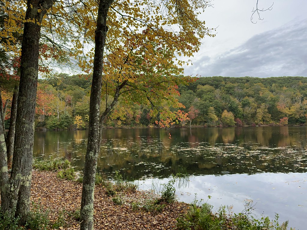 Perkins Mtn Red TrailHiking · ~18 min drivePhoto: randomduck, CC BY-SA 2.0 (via Flickr)
 Old Shenipsit TrailHiking · ~19 min drivePhoto: randomduck, CC BY-SA 2.0 (via Flickr)
- Lower TrailHiking · ~19 min drivePhoto: randomduck, CC BY-SA 2.0 (via Flickr)
- Lakeside TrailHiking · ~19 min drivePhoto: randomduck, CC BY-SA 2.0 (via Flickr)
- Perkins Mtn Orange TrailHiking · ~19 min drivePhoto: randomduck, CC BY-SA 2.0 (via Flickr)
 Blue-Yellow Bypass TrailHiking · ~20 min drivePhoto: randomduck, CC BY-SA 2.0 (via Flickr)
 Shenipsit Forest TrailHiking · ~21 min drivePhoto: randomduck, CC BY-SA 2.0 (via Flickr)
Best time to visit Agawam River Trail
Best months: April–October. Best months have typical highs of 55–85 °F, lows of 30 °F or warmer (32 °F where the station doesn't record snow), at most one snowy day and no more than 12 wet days.
Jan
35° / 19°
11 wet
Feb
39° / 21°
10 wet
Mar
47° / 28°
11 wet
Apr
60° / 38°
12 wet
May
72° / 48°
12 wet
Jun
80° / 58°
12 wet
Jul
85° / 63°
11 wet
Aug
83° / 62°
10 wet
Sep
76° / 54°
9 wet
Oct
64° / 42°
10 wet
Nov
51° / 33°
10 wet
Dec
41° / 25°
11 wet
Typical high / low (°F) and days with rain or snow, 1991–2020. Measured at Hartford Bradley Intl Ap, CT, 8.2 mi away at 190 ft. This station doesn't record snowfall. Source: NOAA NCEI U.S. Climate Normals 1991–2020.

Map and trail data © OpenStreetMap contributors
