Carol J. Getchell Nature Trail
- 0.9 mi
- round trip
- 107 ft
- climb
- 132 ft
- high point
- Out and back
- route
- Apr–Oct
- best months
Carol J. Getchell Nature Trail is a short, easy hike in Massachusetts, about 0.1 mile from the town of Saxonville. The trail is an out-and-back route of about 1.8 miles, with a total elevation gain of about 11 feet. The climb is gentle, with the steepest stretch at about 0.35 miles in, where the grade reaches about 6 percent. Late spring and early fall are the most comfortable times to go. Typical averages from a nearby weather station in Natick show May highs around 68°F and September highs around 73°F, with July the warmest month at about 82°F. Several other outings sit within a few miles. Lyons-Cutler Loop is about 2.1 miles away, and Tippling Rock, a climbing area, is about 3.1 miles off. The George Lewis Memorial Trail and Bct 7 Lincoln are both about 3.3 miles away.
- Lyons-Cutler LoopHiking2.1 mi
- Tippling RockRock climbing3.1 mi
- Bct 7 LincolnHiking3.3 mi
- George Lewis Memorial TrailHiking3.3 mi
- Bates Boulder aka Fairy RockRock climbing4.6 mi
- Boulder Brook ReservationRock climbing4.6 mi
 Sudbury RiverCanoeingPhoto: John Phelan, CC BY 3.0 (via Wikimedia Commons)7.7 mi
- Assabet RiverRiver fishing8.3 mi
Source: Roamze catalog (indexable pages within 10 miles, PostGIS distance)
 Birch TrailHiking · ~6 min drivePhoto: GabrielaP93, CC BY 2.0 (via Flickr)
- PipelineHiking · ~7 min drivePhoto: GabrielaP93, CC BY 2.0 (via Flickr)
- Fox Hunt TrailHiking · ~7 min drivePhoto: GabrielaP93, CC BY 2.0 (via Flickr)
 Old Pine TrailHiking · ~8 min drivePhoto: U. S. Fish and Wildlife Service - Northeast Region, Public domain (via Wikimedia Commons)
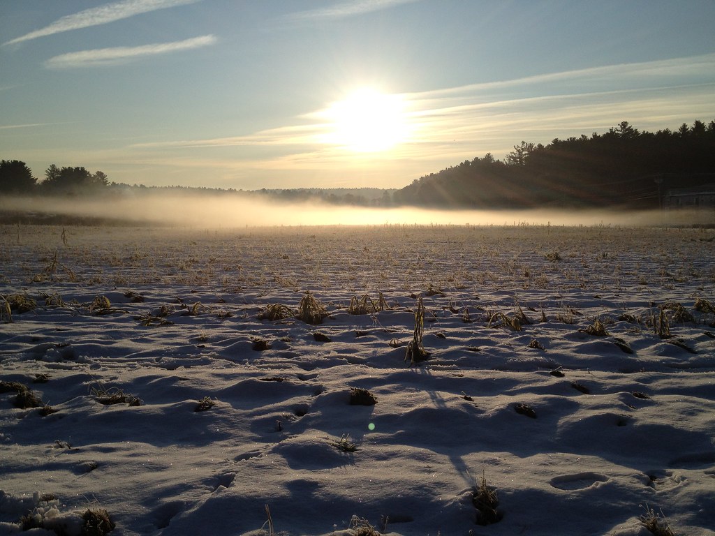 Flying Squirrel TrailHiking · ~8 min drivePhoto: fromdarkheaven, CC BY-SA 2.0 (via Flickr)
 Desert Loop TrailHiking · ~8 min drivePhoto: U. S. Fish and Wildlife Service - Northeast Region, Public domain (via Wikimedia Commons)
 Plymton TrailHiking · ~9 min drivePhoto: U. S. Fish and Wildlife Service - Northeast Region, Public domain (via Wikimedia Commons)
- Acorn TrailHiking · ~9 min drivePhoto: fromdarkheaven, CC BY-SA 2.0 (via Flickr)
 Red DiamondHiking · ~9 min drivePhoto: clembore, CC BY-SA 2.0 (via Flickr)
- Blue DiamondHiking · ~9 min drivePhoto: clembore, CC BY-SA 2.0 (via Flickr)
Best time to visit Carol J. Getchell Nature Trail
Best months: April–October. Best months have typical highs of 55–85 °F, lows of 30 °F or warmer (32 °F where the station doesn't record snow), at most one snowy day and no more than 12 wet days.
Jan
35° / 17°
10 wet
Feb
38° / 18°
9 wet
Mar
46° / 25°
10 wet
Apr
58° / 35°
11 wet
May
68° / 46°
12 wet
Jun
76° / 56°
11 wet
Jul
82° / 62°
10 wet
Aug
80° / 59°
10 wet
Sep
73° / 52°
9 wet
Oct
62° / 40°
11 wet
Nov
51° / 31°
10 wet
Dec
41° / 23°
11 wet
Typical high / low (°F) and days with rain or snow, 1991–2020. Measured at Natick, MA, 4.1 mi away at 180 ft. This station doesn't record snowfall. Source: NOAA NCEI U.S. Climate Normals 1991–2020.
Map and trail data © OpenStreetMap contributors
