Old Pine Trail
 Photo: U. S. Fish and Wildlife Service - Northeast Region, Public domain (via Wikimedia Commons)
- 0.6 mi
- round trip
- 200 ft
- climb
- 185 ft
- high point
- Out and back
- route
- Apr–Jun, Aug–Oct
- best months
Old Pine Trail is a short, easy hike in Massachusetts, about half a mile long and under 10 feet of elevation gain from start to finish. It is a simple outing that fits easily into a day spent exploring the surrounding area. The trail runs out and back, with a low point of about 159 feet and a high of 185 feet. The steepest section comes at about 0.44 miles in, where the grade reaches about 11 percent. The nearest town is Pine Rest, about 1.3 miles away, and the trail is close to several other outdoor spots. The Mass Central Rail Trail, a mountain biking route, passes within about 0.4 miles, and the Desert Loop Trail is about half a mile away. Plymton Trail is about a mile off, and climbers can find Tippling Rock roughly 1.5 miles away. For comfortable weather, late spring and early fall are the best bets. Typical averages from the nearby Maynard weather station run from highs around 73°F in May to about 78°F in September, with July the warmest month at an average high of 87°F.
Best time to go · Apr–Jun, Aug–Oct
Best time to visit Old Pine Trail
Best months: April–June and August–October. Best months have typical highs of 55–85 °F, lows of 30 °F or warmer (32 °F where the station doesn't record snow), at most one snowy day and no more than 12 wet days.
Jan
37° / 15°
11 wet
Feb
41° / 16°
9 wet
Mar
48° / 24°
12 wet
Apr
62° / 34°
12 wet
May
73° / 45°
12 wet
Jun
81° / 55°
11 wet
Jul
87° / 60°
10 wet
Aug
85° / 58°
10 wet
Sep
78° / 49°
9 wet
Oct
66° / 38°
11 wet
Nov
54° / 29°
10 wet
Dec
43° / 21°
11 wet
Typical high / low (°F) and days with rain or snow, 1991–2020. Measured at Maynard 2, MA, 3.7 mi away at 205 ft. This station doesn't record snowfall. Source: NOAA NCEI U.S. Climate Normals 1991–2020.
Keep exploring — more trails worth the drive
 Photo: U. S. Fish and Wildlife Service - Northeast Region, Public domain (via Wikimedia Commons)
Desert Loop Trail
Next door
Easy 1-mile out-and-back trail perfect for a quick Massachusetts hike.
 Photo: U. S. Fish and Wildlife Service - Northeast Region, Public domain (via Wikimedia Commons)
Plymton Trail
~2 min drive
0.92-mile out-and-back trail in Massachusetts with 116 ft gain.
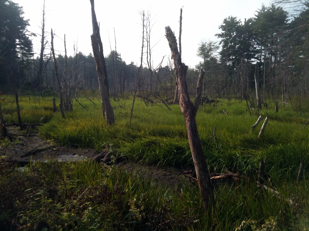 Photo: leewrightonflickr, CC BY-SA 2.0 (via Flickr)
Old Concord Road
~2 min drive
0.96-mile out-and-back trail on Old Concord Road in Massachusetts.
Photo: U. S. Fish and Wildlife Service - Northeast Region, Public domain (via Wikimedia Commons)Desert Trail
~2 min drive
0.58-mile out-and-back hike in Massachusetts with 30 ft elevation gain
Photo: U. S. Fish and Wildlife Service - Northeast Region, Public domain (via Wikimedia Commons)Plymton Trail
~2 min drive
0.49-mile out-and-back trail in Massachusetts with 38 ft gain.
Photo: U. S. Fish and Wildlife Service - Northeast Region, Public domain (via Wikimedia Commons)Petapawag Trail
~3 min drive
0.84-mile out-and-back trail in Massachusetts with 45 ft elevation gain.
Photo: U. S. Fish and Wildlife Service - Northeast Region, Public domain (via Wikimedia Commons)Tri-Town Trail
~3 min drive
Easy 1.38-mile out-and-back trail connecting three Massachusetts towns.
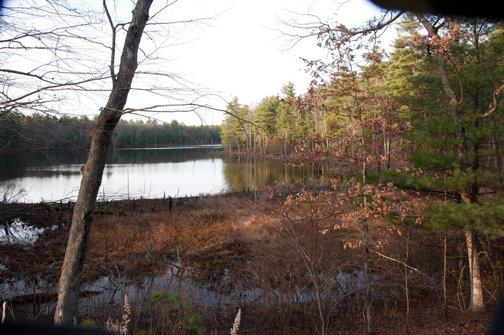 Photo: photofarmer, CC BY 2.0 (via Flickr)
Hill Trail
~3 min drive
0.38-mile out-and-back hill trail in Massachusetts with 79 ft gain.
Photo: U. S. Fish and Wildlife Service - Northeast Region, Public domain (via Wikimedia Commons)Pine Garden Trail
~3 min drive
0.32-mile out-and-back hike in Massachusetts with 11 ft gain.
 Photo: U. S. Fish and Wildlife Service - Northeast Region, Public domain (via Wikimedia Commons)
Puffer Pond Trail
~4 min drive
0.42-mile out-and-back trail with 155 ft gain in Massachusetts.

Map and trail data © OpenStreetMap contributors
