Allen's Lane
- Apr–Jun, Aug–Nov
- best months
Allen's Lane is a boat launch in Maryland, about 1.2 miles from the town of Rock Hall. It serves as a starting point for getting a boat onto the water near town. For comfortable weather, late spring and early fall are the best bets. Typical averages from a nearby weather station run highs around 73°F in May and 78°F in September. Summer is warmer, with typical July highs near 87°F. Two hiking options sit a short drive away: the Bay View Butterfly Trail is about 6.3 miles off, and the Wildlife Trail is about 6.5 miles away.
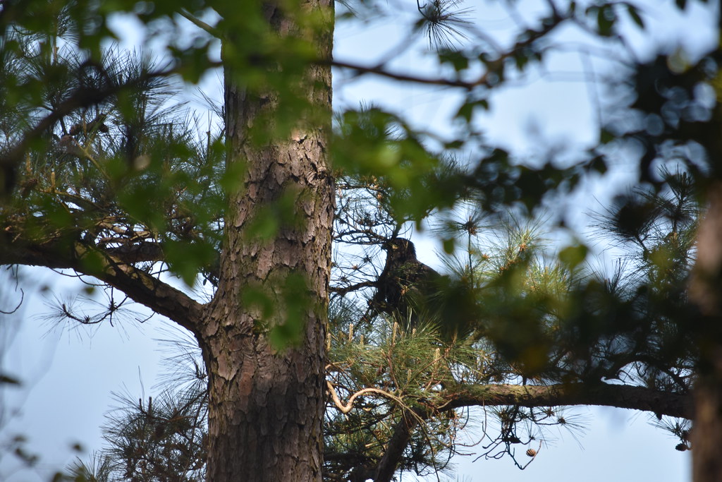 Bay View Butterfly TrailHikingPhoto: U. S. Fish and Wildlife Service - Northeast Region, Public Domain Mark (via Flickr)6.3 mi
 Wildlife TrailHikingPhoto: U. S. Fish and Wildlife Service - Northeast Region, Public Domain Mark (via Flickr)6.5 mi
Source: Roamze catalog (indexable pages within 10 miles, PostGIS distance)
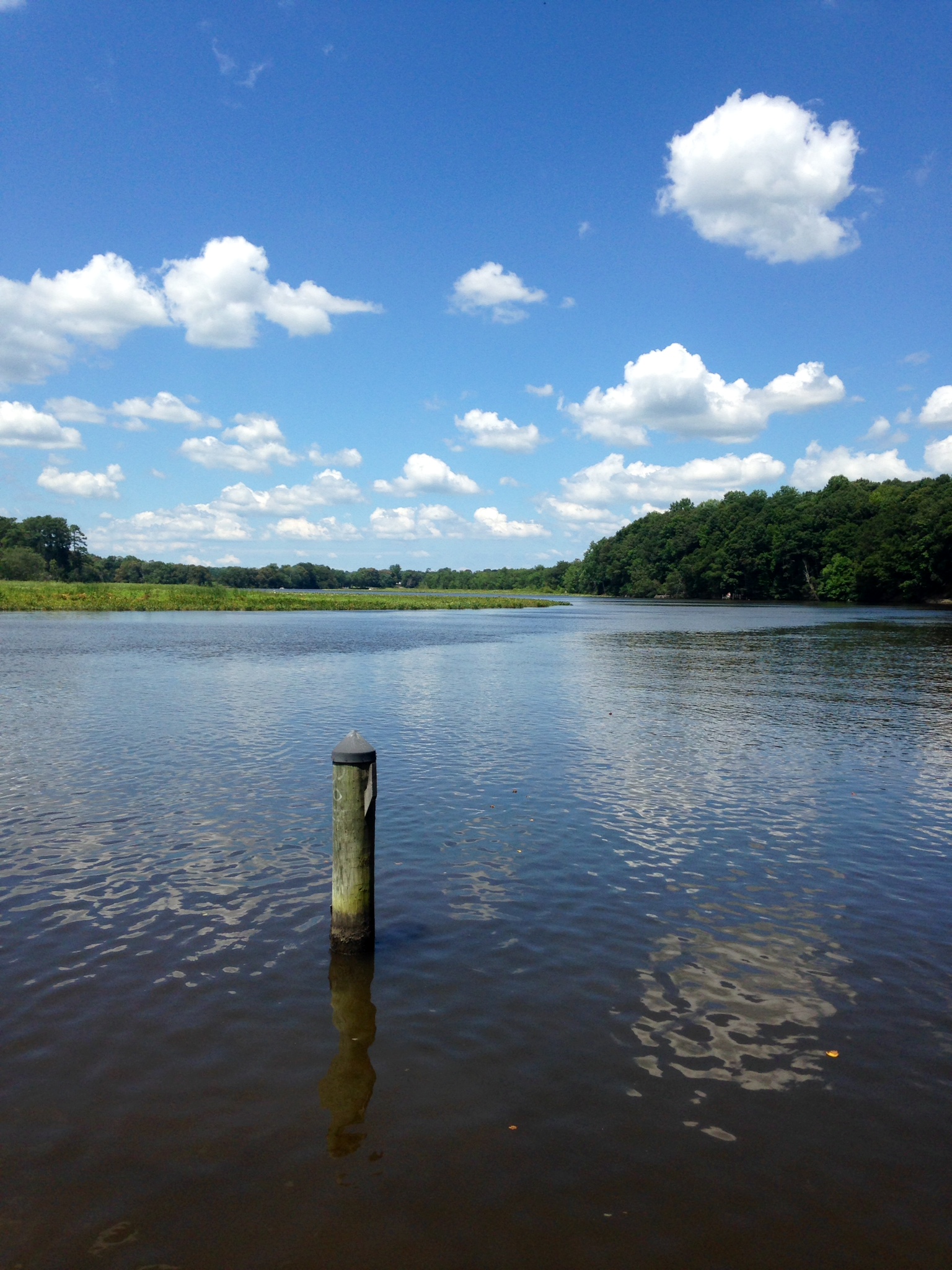 Tuckahoe CreekCanoeing · ~34 min drivePhoto: Sk5893, CC BY-SA 4.0 (via Wikimedia Commons)
- Green LaneBoat launch · Next door
 Choptank RiverCanoeing · ~46 min drivePhoto: AMK1211, CC BY-SA 2.0 (via Wikimedia Commons)
- Bayside Landing ParkBoat launch · ~1 min drive
- Mason BranchCanoeing · ~35 min drive
- Gray's Inn LandingBoat launch · ~2 min drive
- Andover BranchCanoeing · ~43 min drive
- Shipyard LandingBoat launch · ~7 min drive
- Western RunCanoeing · ~1h 3m drive
- Kent Narrows LandingBoat launch · ~18 min drive
Best time to visit Allen's Lane
Best months: April–June and August–November. Best months have typical highs of 55–85 °F, lows of 30 °F or warmer (32 °F where the station doesn't record snow), at most one snowy day and no more than 12 wet days.
Jan
42° / 29°
Feb
44° / 30°
Mar
52° / 36°
Apr
64° / 46°
May
73° / 56°
Jun
83° / 66°
Jul
87° / 72°
Aug
85° / 69°
Sep
78° / 63°
Oct
67° / 51°
Nov
56° / 41°
Dec
46° / 34°
Typical high / low (°F) and days with rain or snow, 1991–2020. Measured at Stevensville 2sw, MD, 11.6 mi away at 10 ft. This station doesn't record snowfall. Source: NOAA NCEI U.S. Climate Normals 1991–2020.
Map and trail data © OpenStreetMap contributors
