Green Lane
About
Green Lane is a boat launch in Maryland, about 0.7 miles from the town of Rock Hall. It gives boaters a put-in close to town, and its location makes it a straightforward stop for anyone already spending time around Rock Hall. For comfortable weather on the water, late spring and early fall stand out. Typical averages from a nearby weather station in Stevensville put May highs around 73°F and September highs around 78°F, while midsummer climbs into the mid-80s. Two walking options sit a short drive away for time off the water. The Bay View Butterfly Trail is about 6.8 miles from the launch, and the Wildlife Trail is about 6.9 miles away.
Location
Rock Hall
Maryland
Data © OpenStreetMap contributors, available under the Open Database License (ODbL). View or edit on OpenStreetMap.
Facts about this place
When to go
Best time to go: Apr–Jun. The mildest months here, with typical highs of 64–83°F and lows of 46–66°F.
Typical monthly averages (not a forecast) from the Stevensville 2sw, MD weather station, 12 mi away. High / low in °F.
- Jan42° high29° low
- Feb44° high30° low
- Mar52° high36° low
- Apr64° high46° low
- May73° high56° low
- Jun83° high66° low
- Jul87° high72° low
- Aug85° high69° low
- Sep78° high63° low
- Oct67° high51° low
- Nov56° high41° low
- Dec46° high34° low
Nearby
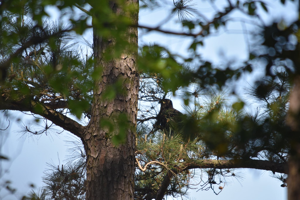 Bay View Butterfly TrailHikingPhoto: U. S. Fish and Wildlife Service - Northeast Region, Public Domain Mark (via Flickr)6.8 mi
 Wildlife TrailHikingPhoto: U. S. Fish and Wildlife Service - Northeast Region, Public Domain Mark (via Flickr)6.9 mi
Source: Roamze catalog (indexable pages within 10 miles, PostGIS distance)
Best time to visit Green Lane
Best months: April–June and August–November. Best months have typical highs of 55–85 °F, lows of 30 °F or warmer (32 °F where the station doesn't record snow), at most one snowy day and no more than 12 wet days.
Jan
42° / 29°
Feb
44° / 30°
Mar
52° / 36°
Apr
64° / 46°
May
73° / 56°
Jun
83° / 66°
Jul
87° / 72°
Aug
85° / 69°
Sep
78° / 63°
Oct
67° / 51°
Nov
56° / 41°
Dec
46° / 34°
Typical high / low (°F) and days with rain or snow, 1991–2020. Measured at Stevensville 2sw, MD, 12.1 mi away at 10 ft. This station doesn't record snowfall. Source: NOAA NCEI U.S. Climate Normals 1991–2020.
Map and trail data © OpenStreetMap contributors
