Wildlife Trail
 Photo: U. S. Fish and Wildlife Service - Northeast Region, Public Domain Mark (via Flickr)
- 0.6 mi
- loop
- 12 ft
- high point
- Loop
- route
- Easy
- difficulty
- Apr–Jun, Aug–Nov
- best months
Wildlife Trail is a short, easy loop of about 0.6 miles on Eastern Neck National Wildlife Refuge in Maryland, managed by the U.S. Fish and Wildlife Service. The trail is nearly flat, with a high point of about 12 feet and a low of about 3 feet, so it makes a simple outing for a walk on the refuge. Spring and fall are the most comfortable times to go. Typical averages from a nearby weather station show May highs around 73°F and October highs around 67°F, while July averages about 87°F. The Bay View Butterfly Trail lies about 0.8 miles away. Sandy Point State Park, about 10 miles off, offers saltwater fishing. The Mill Stream Trail and Holly Tree Trail are both within about 10 miles.
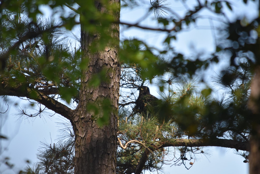 Bay View Butterfly TrailHikingPhoto: U. S. Fish and Wildlife Service - Northeast Region, Public Domain Mark (via Flickr)0.8 mi
 Mill Stream TrailHikingPhoto: Jeff Weese, CC BY 2.0 (via Wikimedia Commons)8.1 mi
- Adt - Maryland - Seg 1Hiking9.8 mi
- Sandy Point State ParkSaltwater fishing9.9 mi
 Holly Tree TrailHikingPhoto: Nicolas Raymond from Bethesda, Maryland, USA, CC BY 2.0 (via Wikimedia Commons)10 mi
Source: Roamze catalog (indexable pages within 10 miles, PostGIS distance)
- Bay View Butterfly TrailHiking · ~1 min drivePhoto: U. S. Fish and Wildlife Service - Northeast Region, Public Domain Mark (via Flickr)
- Dividing Creek TrailHiking · ~18 min drivePhoto: Nicolas Raymond from Bethesda, Maryland, USA, CC BY 2.0 (via Wikimedia Commons)
- Adt - Maryland - Seg 1Hiking · ~17 min drive
- Boxes Point TrailHiking · ~2 min drivePhoto: U. S. Fish and Wildlife Service - Northeast Region, Public Domain Mark (via Flickr)
- Mill Stream TrailHiking · ~14 min drivePhoto: Jeff Weese, CC BY 2.0 (via Wikimedia Commons)
- Holly Tree TrailHiking · ~17 min drivePhoto: Nicolas Raymond from Bethesda, Maryland, USA, CC BY 2.0 (via Wikimedia Commons)
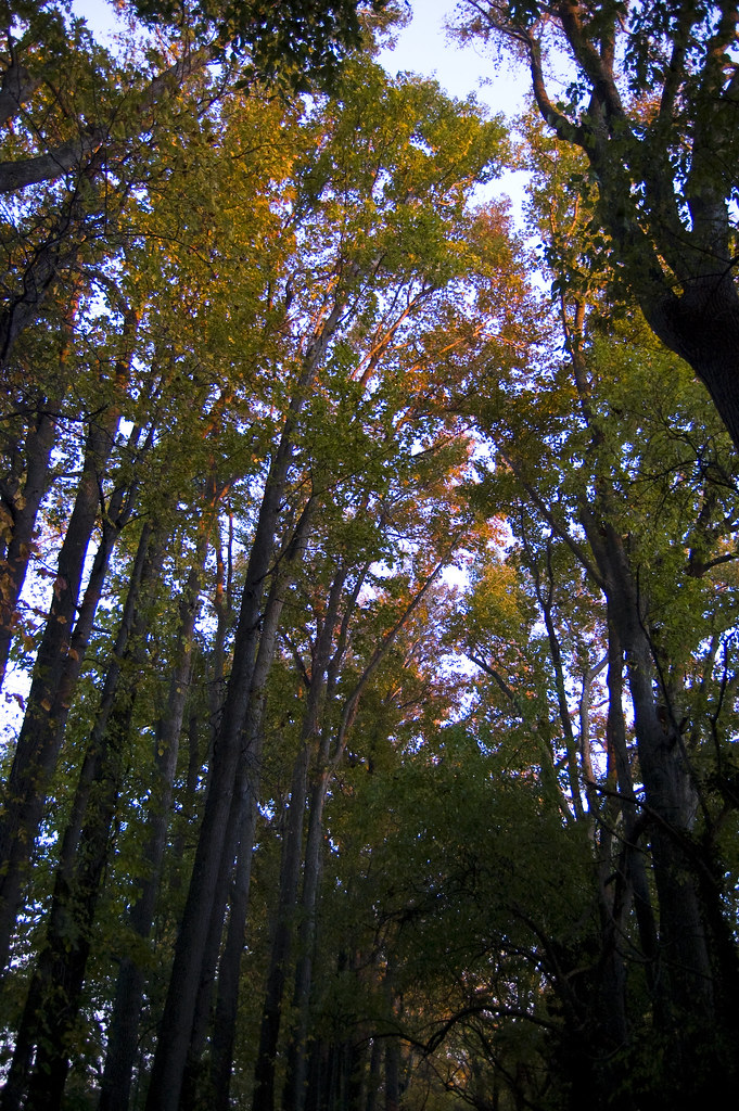 Jack-in-the-Pulpit TrailHiking · ~18 min drivePhoto: anporter914, CC BY 2.0 (via Flickr)
- Osage Orange TrailHiking · ~18 min drivePhoto: Nicolas Raymond from Bethesda, Maryland, USA, CC BY 2.0 (via Wikimedia Commons)
- Ferry Point TrailHiking · ~18 min drivePhoto: anporter914, CC BY 2.0 (via Flickr)
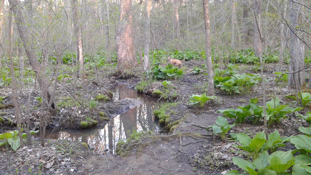 Pavillion TrailHiking · ~27 min drivePhoto: Ken_Mayer, CC BY 2.0 (via Flickr)
Best time to visit Wildlife Trail
Best months: April–June and August–November. Best months have typical highs of 55–85 °F, lows of 30 °F or warmer (32 °F where the station doesn't record snow), at most one snowy day and no more than 12 wet days.
Jan
42° / 29°
Feb
44° / 30°
Mar
52° / 36°
Apr
64° / 46°
May
73° / 56°
Jun
83° / 66°
Jul
87° / 72°
Aug
85° / 69°
Sep
78° / 63°
Oct
67° / 51°
Nov
56° / 41°
Dec
46° / 34°
Typical high / low (°F) and days with rain or snow, 1991–2020. Measured at Stevensville 2sw, MD, 7.4 mi away at 10 ft. This station doesn't record snowfall. Source: NOAA NCEI U.S. Climate Normals 1991–2020.
