Pavillion Trail
 Photo: Ken_Mayer, CC BY 2.0 (via Flickr)
- 0.8 mi
- round trip
- 213 ft
- climb
- 134 ft
- high point
- Out and back
- route
- Apr–Jun, Aug–Nov
- best months
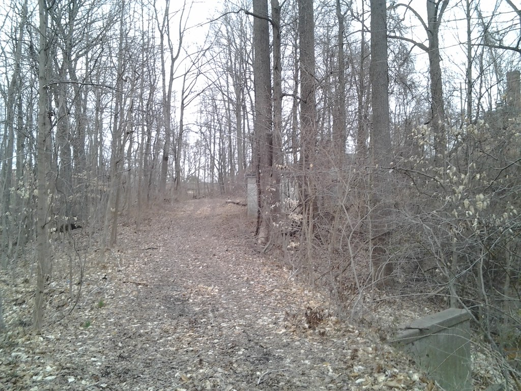
Pavilion Trail is a short, easy out-and-back hike in Maryland, about 0.4 miles from the community of Old Annapolis Neck. The route is 1.6 miles long, with a total elevation gain of 213 feet, and it is rated easy. The trail starts at about 78 feet and reaches a high point of 134 feet before returning to the start. The climb is front-loaded, with the steepest stretch at about 0.35 miles in, where the grade reaches 6 percent. Spring and fall are the most comfortable times to go. Typical averages from a nearby weather station in Annapolis show May highs around 73°F and October highs around 67°F, while July averages about 86°F. The hike takes about half an hour. Several other trails sit close by, including the Exercise Trail at 0.8 miles, the Wildwood Trail at 0.9 miles and the Holly Pavilion Trail at 1 mile. For a change of pace, Sandy Point State Park, about 6.8 miles away, offers saltwater fishing.
 Exercise TrailHikingPhoto: Ken_Mayer, CC BY 2.0 (via Flickr)0.8 mi
- Wildwood TrailHiking0.9 mi
- Concert TrailHikingPhoto: Ken_Mayer, CC BY 2.0 (via Flickr)1 mi
- Holly Pavilion TrailHiking1 mi
- Terrapin Trail (red)Hiking2.2 mi
- Poplar Path (yellow)Hiking2.3 mi
- Pond TrailHiking4.4 mi
- Sandy Point State ParkSaltwater fishing6.8 mi
Source: Roamze catalog (indexable pages within 10 miles, PostGIS distance)
- Pavillion TrailHiking · Next doorPhoto: Ken_Mayer, CC BY 2.0 (via Flickr)
 Stick Trail Loop (blue)Hiking · ~15 min drivePhoto: Ken_Mayer, CC BY 2.0 (via Flickr)
- Adt - Maryland - Seg 1Hiking · ~11 min drive
- Exercise TrailHiking · ~1 min drivePhoto: Ken_Mayer, CC BY 2.0 (via Flickr)
 Kettle Trail Loop (green)Hiking · ~15 min drivePhoto: Ken_Mayer, CC BY 2.0 (via Flickr)
- Concert TrailHiking · ~2 min drivePhoto: Ken_Mayer, CC BY 2.0 (via Flickr)
- House Trail (green)Hiking · ~15 min drivePhoto: Ken_Mayer, CC BY 2.0 (via Flickr)
 Panther Trail Loop (Maroon)Hiking · ~8 min drivePhoto: Ken_Mayer, CC BY 2.0 (via Flickr)
 Contee Watershed TrailHiking · ~8 min drivePhoto: treegrow, CC BY 2.0 (via Flickr)
 Andiron Trail Loop (light blue)Hiking · ~12 min drivePhoto: R. DN., CC BY 4.0 (via Wikimedia Commons)
Best time to visit Pavillion Trail
Best months: April–June and August–November. Best months have typical highs of 55–85 °F, lows of 30 °F or warmer (32 °F where the station doesn't record snow), at most one snowy day and no more than 12 wet days.
Jan
43° / 30°
Feb
45° / 32°
Mar
53° / 38°
Apr
64° / 47°
May
73° / 57°
Jun
82° / 68°
Jul
86° / 72°
Aug
84° / 70°
Sep
77° / 65°
Oct
67° / 52°
Nov
56° / 42°
Dec
47° / 34°
Typical high / low (°F) and days with rain or snow, 1991–2020. Measured at Annapolis Naf, MD, 2.8 mi away at 8 ft. This station doesn't record snowfall. Source: NOAA NCEI U.S. Climate Normals 1991–2020.
Map and trail data © OpenStreetMap contributors
