Holly Tree Trail
 Photo: Nicolas Raymond from Bethesda, Maryland, USA, CC BY 2.0 (via Wikimedia Commons)
- 1.5 mi
- round trip
- 669 ft
- climb
- 95 ft
- high point
- Out and back
- route
- Apr–Jun, Aug–Nov
- best months
Holly Tree Trail is an easy out-and-back hike in Maryland, about 1.3 miles from Queen Annes on Wye. The trail runs roughly 3 miles round trip, with a total climb of about 669 feet, which makes it a gentle outing for anyone looking for a short walk with a bit of elevation. The route reaches a high point of about 95 feet, and the steepest stretch comes at about 0.6 miles in, where the grade reaches about 11 percent. Plan on about 1.5 hours for the trip. For comfortable weather, aim for spring or fall. Typical averages from a nearby weather station in Stevensville show May highs around 73°F and October highs around 67°F, while July averages reach about 87°F. Several other short trails sit close by. Dividing Creek Trail and Osage Orange Trail are each about 0.9 miles away, and West Corner Trail is about 1.7 miles off. Ferry Point Trail is about 2 miles away.
- Dividing Creek TrailHikingPhoto: Nicolas Raymond from Bethesda, Maryland, USA, CC BY 2.0 (via Wikimedia Commons)0.9 mi
- Osage Orange TrailHikingPhoto: Nicolas Raymond from Bethesda, Maryland, USA, CC BY 2.0 (via Wikimedia Commons)0.9 mi
- West Corner TrailHiking1.7 mi
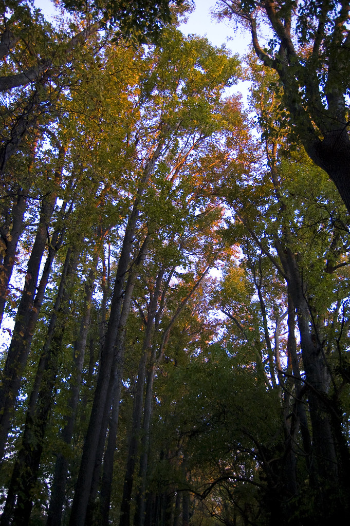 Ferry Point TrailHikingPhoto: anporter914, CC BY 2.0 (via Flickr)2 mi
- Jack-in-the-Pulpit TrailHikingPhoto: anporter914, CC BY 2.0 (via Flickr)2.1 mi
- Mossy Woods TrailHiking2.8 mi
- New Woods TrailHiking3 mi
 Wildlife TrailHikingPhoto: U. S. Fish and Wildlife Service - Northeast Region, Public Domain Mark (via Flickr)10 mi
Source: Roamze catalog (indexable pages within 10 miles, PostGIS distance)
- Dividing Creek TrailHiking · ~1 min drivePhoto: Nicolas Raymond from Bethesda, Maryland, USA, CC BY 2.0 (via Wikimedia Commons)
- Osage Orange TrailHiking · ~2 min drivePhoto: Nicolas Raymond from Bethesda, Maryland, USA, CC BY 2.0 (via Wikimedia Commons)
- Adt - Maryland - Seg 1Hiking · ~27 min drive
- Tuckahoe Valley TrailHiking · ~19 min drive
- Ferry Point TrailHiking · ~3 min drivePhoto: anporter914, CC BY 2.0 (via Flickr)
- Jack-in-the-Pulpit TrailHiking · ~4 min drivePhoto: anporter914, CC BY 2.0 (via Flickr)
- Wildlife TrailHiking · ~17 min drivePhoto: U. S. Fish and Wildlife Service - Northeast Region, Public Domain Mark (via Flickr)
 Bay View Butterfly TrailHiking · ~18 min drivePhoto: U. S. Fish and Wildlife Service - Northeast Region, Public Domain Mark (via Flickr)
- Boxes Point TrailHiking · ~19 min drivePhoto: U. S. Fish and Wildlife Service - Northeast Region, Public Domain Mark (via Flickr)
 Mill Stream TrailHiking · ~19 min drivePhoto: Jeff Weese, CC BY 2.0 (via Wikimedia Commons)
Best time to visit Holly Tree Trail
Best months: April–June and August–November. Best months have typical highs of 55–85 °F, lows of 30 °F or warmer (32 °F where the station doesn't record snow), at most one snowy day and no more than 12 wet days.
Jan
42° / 29°
Feb
44° / 30°
Mar
52° / 36°
Apr
64° / 46°
May
73° / 56°
Jun
83° / 66°
Jul
87° / 72°
Aug
85° / 69°
Sep
78° / 63°
Oct
67° / 51°
Nov
56° / 41°
Dec
46° / 34°
Typical high / low (°F) and days with rain or snow, 1991–2020. Measured at Stevensville 2sw, MD, 11.2 mi away at 10 ft. This station doesn't record snowfall. Source: NOAA NCEI U.S. Climate Normals 1991–2020.
Map and trail data © OpenStreetMap contributors
