Kettle Trail Loop (green)
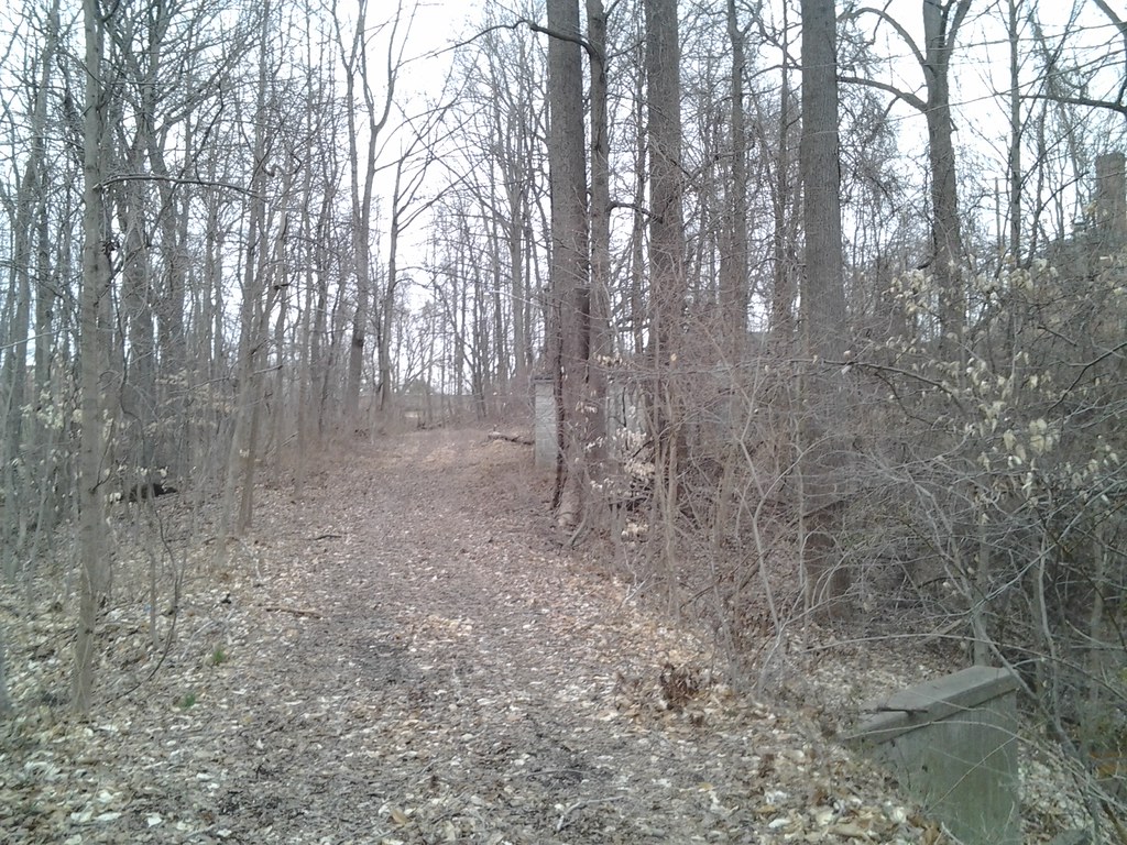 Photo: Ken_Mayer, CC BY 2.0 (via Flickr)
- 0.9 mi
- loop
- 295 ft
- climb
- 225 ft
- high point
- Loop
- route
- Mar–Jun, Sep–Nov
- best months
The Kettle Trail Loop (green) is a 0.94-mile moderate hike in Maryland, about a mile from the town of Spring Fields. It is a short outing with a total climb of 295 feet and a total descent of 235 feet, so the round trip gains and losses balance out. The route starts at about 161 feet and reaches a high point of 225 feet. The steepest stretch comes at about half a mile in, where the grade reaches 7%. That makes it a modest challenge rather than a serious climb. Spring and fall are the most comfortable times to go. Typical averages from a nearby weather station in Annapolis put May highs around 77°F and October highs around 68°F, while July highs average near 89°F. The trail sits in a cluster of other routes. The Chimney Trail Loop (green) is just 0.1 mile away, and the Brick Trail Loop (blue) is 0.2 mile off. Within half a mile are the Bacon Ridge Road Connector (blue/green) and the Straw Trail Loop (blue).
- Chimney Trail Loop (green)Mountain biking0.1 mi
- Brick Trail Loop (blue)Mountain biking0.2 mi
- Bacon Ridge Road Connector (blue/green)Mountain biking0.3 mi
- Stick Trail Loop (blue)Mountain biking0.4 mi
- House Trail (green)Mountain biking0.4 mi
- Thru Trail (yellow)Hiking0.4 mi
- Straw Trail Loop (blue)HikingPhoto: Ken_Mayer, CC BY 2.0 (via Flickr)0.4 mi
- Carriage Trail (pink)Hiking0.4 mi
Source: Roamze catalog (indexable pages within 10 miles, PostGIS distance)
 Stick Trail Loop (blue)Hiking · Next doorPhoto: Ken_Mayer, CC BY 2.0 (via Flickr)
- Straw Trail Loop (blue)Hiking · Next doorPhoto: Ken_Mayer, CC BY 2.0 (via Flickr)
- House Trail (green)Hiking · Next doorPhoto: Ken_Mayer, CC BY 2.0 (via Flickr)
 Box Turtle Trail (purple)Hiking · ~3 min drivePhoto: R. DN., CC BY 4.0 (via Wikimedia Commons)
- Brick Trail Loop (blue)Hiking · Next door
- Millstone Trail Loop (light blue)Hiking · ~3 min drivePhoto: R. DN., CC BY 4.0 (via Wikimedia Commons)
- Andiron Trail Loop (light blue)Hiking · ~3 min drivePhoto: R. DN., CC BY 4.0 (via Wikimedia Commons)
 Field LoopHiking · ~5 min drivePhoto: Ken_Mayer, CC BY 2.0 (via Flickr)
- Creek TrailHiking · ~5 min drivePhoto: Ken_Mayer, CC BY 2.0 (via Flickr)
 Evergreen to Tudor Through TrailHiking · ~5 min drivePhoto: Ken_Mayer, CC BY 2.0 (via Flickr)
Best time to visit Kettle Trail Loop (green)
Best months: March–June and September–November. Best months have typical highs of 55–85 °F, lows of 30 °F or warmer (32 °F where the station doesn't record snow), at most one snowy day and no more than 12 wet days.
Jan
44° / 29°
Feb
48° / 31°
Mar
55° / 38°
Apr
68° / 48°
May
77° / 57°
Jun
85° / 67°
Jul
89° / 71°
Aug
86° / 70°
Sep
80° / 65°
Oct
68° / 52°
Nov
58° / 41°
Dec
48° / 34°
Typical high / low (°F) and days with rain or snow, 1991–2020. Measured at Annapolis Police Brks, MD, 6.6 mi away at 25 ft. This station doesn't record snowfall. Source: NOAA NCEI U.S. Climate Normals 1991–2020.
Map and trail data © OpenStreetMap contributors
