Contee Watershed Trail
 Photo: treegrow, CC BY 2.0 (via Flickr)
- 0.6 mi
- one way
- 40 ft
- climb
- 88 ft
- high point
- Point to point
- route
- Mar–Jun, Sep–Nov
- best months
Contee Watershed Trail is a short, easy hike in Maryland, about half a mile long and rising only about 40 feet from its low point of 27 feet to a high of 88 feet. It is a point-to-point route, and the steepest stretch comes near the end, with a grade of about 8 percent at about 0.5 miles. The nearest town is South River, about a mile away. Spring and fall are the most comfortable times to go. Typical averages from a nearby weather station in Annapolis show May highs around 77°F and October highs around 68°F, while July averages about 89°F. The trail is open to bikes, and the trip takes about half an hour. Squirrel Neck Loop starts just 0.1 mile away, and Poplar Path (yellow), Terrapin Trail (red) and Pond Trail are all within about 2.6 miles.
Best time to go · Mar–Jun, Sep–Nov
Best time to visit Contee Watershed Trail
Best months: March–June and September–November. Best months have typical highs of 55–85 °F, lows of 30 °F or warmer (32 °F where the station doesn't record snow), at most one snowy day and no more than 12 wet days.
Jan
44° / 29°
Feb
48° / 31°
Mar
55° / 38°
Apr
68° / 48°
May
77° / 57°
Jun
85° / 67°
Jul
89° / 71°
Aug
86° / 70°
Sep
80° / 65°
Oct
68° / 52°
Nov
58° / 41°
Dec
48° / 34°
Typical high / low (°F) and days with rain or snow, 1991–2020. Measured at Annapolis Police Brks, MD, 7.2 mi away at 25 ft. This station doesn't record snowfall. Source: NOAA NCEI U.S. Climate Normals 1991–2020.
Keep exploring — more trails worth the drive
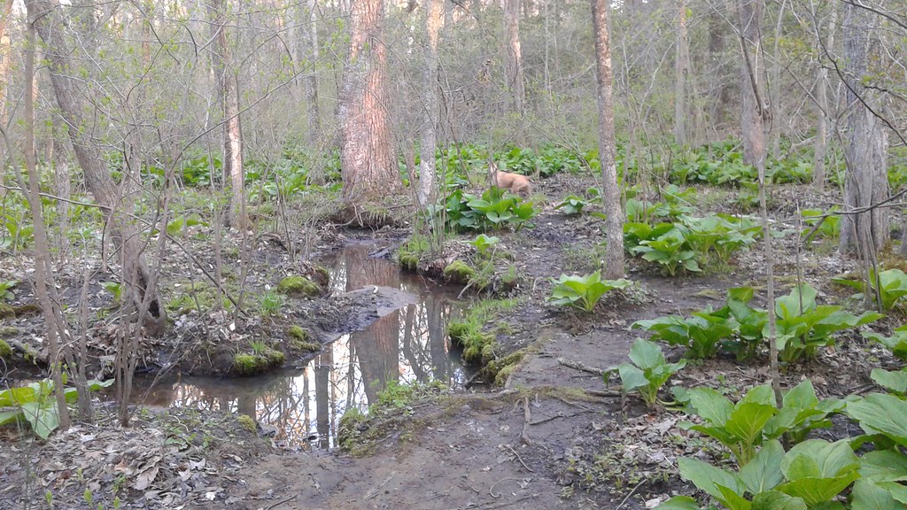 Photo: Ken_Mayer, CC BY 2.0 (via Flickr)
Concert Trail
~6 min drive
Easy half-mile out-and-back trail in Maryland.
 Photo: Ken_Mayer, CC BY 2.0 (via Flickr)
Stick Trail Loop (blue)
~17 min drive
0.6-mile out-and-back trail in Maryland with 86 ft elevation gain.
 Photo: Ken_Mayer, CC BY 2.0 (via Flickr)
Exercise Trail
~7 min drive
1.98-mile out-and-back trail in Maryland with 267 ft elevation gain
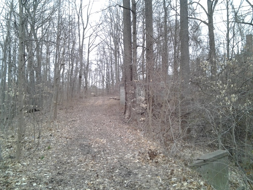 Photo: Ken_Mayer, CC BY 2.0 (via Flickr)
House Trail (green)
~18 min drive
1.02-mile out-and-back trail in Maryland with 184 ft elevation gain.
Photo: Ken_Mayer, CC BY 2.0 (via Flickr)Pavillion Trail
~7 min drive
0.78-mile out-and-back trail in Maryland with 95 ft of elevation gain.
Photo: Ken_Mayer, CC BY 2.0 (via Flickr)Kettle Trail Loop (green)
~17 min drive
0.94-mile green loop trail in Maryland with 295 ft elevation gain.
Photo: Ken_Mayer, CC BY 2.0 (via Flickr)Pavillion Trail
~8 min drive
1.64-mile out-and-back trail in Maryland with 213 ft elevation gain
HIKE
Brick Trail Loop (blue)
~18 min drive
1.85-mile loop in Maryland with 325 ft elevation gain and loss.
 Photo: Ken_Mayer, CC BY 2.0 (via Flickr)
Panther Trail Loop (Maroon)
~10 min drive
1.46-mile loop in Maryland with 539 ft gain and 561 ft loss.
 Photo: R. DN., CC BY 4.0 (via Wikimedia Commons)
Andiron Trail Loop (light blue)
~14 min drive
0.70-mile loop in Maryland with 164 ft elevation gain.
Map and trail data © OpenStreetMap contributors
