Camp Round Meadow
Campground
Sites open the weekend of Dec 11 on Recreation.gov
 Photo: John Brighenti, CC BY 2.0 (via Flickr)
No closures listed
The National Park Service lists no closures for Catoctin Mountain Park.
As of · Source: NPS · Catoctin Mountain Park. Agencies don't list every closure — check before you go.
The Orange Trail is a scenic point-to-point hike in Maryland covering 2.64 miles of accessible terrain. This trail offers a straightforward walking experience suitable for hikers of varying abilities, with gentle grades and natural woodland surroundings typical of Maryland's trail system.
Camp Round Meadow
Campground
 If it rainsAcroterion, CC BY-SA 4.0 · Wikimedia Commons
Schifferstadt Architectural Museum
Museum
Places © OpenStreetMap contributors · Photos: Acroterion, CC BY-SA 4.0 (commons)
More in Ballenger CreekNot on Roamze yet. Their page has how to reach them.
Daily highs and lows, wind and the chance of precipitation at the summit and route start for the next 7 days, from the Open-Meteo model.
Gateway TrailHikingPhoto: John Brighenti, CC BY 2.0 (via Flickr)0.1 miTR-2 Crows Nest TrailHikingPhoto: John Brighenti, CC BY 2.0 (via Flickr)0.1 mi Wolf RockRock climbingPhoto: TrailVoice, CC BY-SA 2.0 (via Wikimedia Commons)0.4 miThe Main WallRock climbingPhoto: TrailVoice, CC BY-SA 2.0 (via Wikimedia Commons)0.4 mi
Source: Roamze catalog (indexable pages within 10 miles, PostGIS distance)
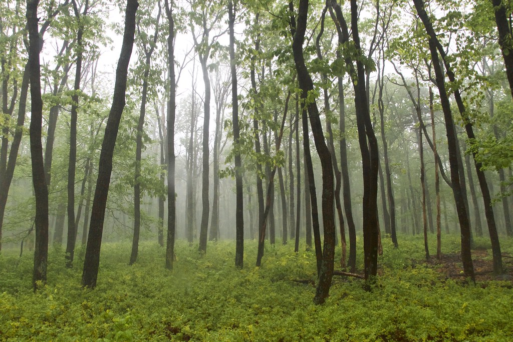 Thurmont Vista Loop TrailHiking · Next doorPhoto: beyond_the_sea01, Public Domain Mark (via Flickr)
 Old Misery TrailHiking · ~1 min drivePhoto: Nicolas Raymond from Bethesda, Maryland, USA, CC BY 2.0 (via Wikimedia Commons)TR-4 Whiskey Still TrailHiking · ~2 min drivePhoto: beyond_the_sea01, Public Domain Mark (via Flickr)TR-5 Blue Ridge Summit TrailHiking · ~1 min drivePhoto: beyond_the_sea01, Public Domain Mark (via Flickr)
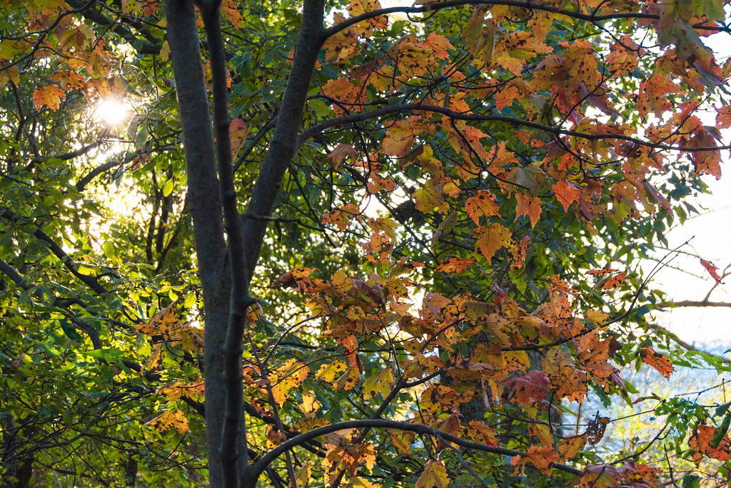 Charcoal Exhibit TrailHiking · ~2 min drivePhoto: beyond_the_sea01, Public Domain Mark (via Flickr)Thurmont Vista OverlookHiking · ~2 min drivePhoto: beyond_the_sea01, Public Domain Mark (via Flickr)TR-6 Charcoal TrailHiking · ~2 min drivePhoto: beyond_the_sea01, Public Domain Mark (via Flickr)
 Hog Rock Loop TrailHiking · ~3 min drivePhoto: John Brighenti, CC BY 2.0 (via Flickr)
Also worth it near here
 Chimney RockSummit · Next doorPhoto: Unknown authorUnknown author or not provided, Public domain (via Wikimedia Commons)Wolf RockRock climbing · Next doorPhoto: TrailVoice, CC BY-SA 2.0 (via Wikimedia Commons)
 Camp Greentop Historic DistrictCamping · ~4 min drivePhoto: Acroterion, CC BY-SA 4.0 (via Wikimedia Commons)
Best months: April and June–October. Best months have typical highs of 55–85 °F, lows of 30 °F or warmer (32 °F where the station doesn't record snow), at most one snowy day and no more than 12 wet days.
Jan
39° / 23°
10 wet
Feb
42° / 25°
9 wet
Mar
52° / 31°
12 wet
Apr
65° / 42°
12 wet
May
73° / 52°
14 wet
Jun
80° / 60°
12 wet
Jul
84° / 65°
12 wet
Aug
81° / 63°
12 wet
Sep
75° / 58°
11 wet
Oct
65° / 46°
11 wet
Nov
53° / 36°
11 wet
Dec
43° / 28°
10 wet
Typical high / low (°F) and days with rain or snow, 1991–2020. Measured at Catoctin Mtn Park, MD, 2.6 mi away at 1,610 ft. This station doesn't record snowfall. Source: NOAA NCEI U.S. Climate Normals 1991–2020.
About 3.6 mi.
About 1,189 ft of climbing round trip.
It is rated moderate.
About 1.5 hours round trip.
2: TR-1 Chimney Rock/Wolf Rock Trail and Orange Trail.
Map and trail data © OpenStreetMap contributors
