Camp Misty Mount
Campground
Campground · 0.9 mi from the trail
 Photo: John Brighenti, CC BY 2.0 (via Flickr)
No closures listed
The National Park Service lists no closures for Catoctin Mountain Park.
As of · Source: NPS · Catoctin Mountain Park. Agencies don't list every closure — check before you go.
Gateway Trail is a 2.7-mile moderate hike in Catoctin Mountain Park in Maryland, managed by the National Park Service. The trail rises about 700 feet from a starting point at roughly 900 feet to a high point near 977 feet, and the route is a point-to-point with a total loss of about 1,150 feet for the return trip. The climb is steepest around mile 1.6, where the grade reaches about 58%, and the whole trip takes about 1.5 hours. Spring and fall are the most comfortable times to go. Typical averages from a nearby weather station show May highs around 73°F and September highs around 75°F, while July peaks near 84°F and winter lows drop into the low 20s. Dogs are allowed if they stay on a leash, and the trail is closed to bikes and horses. Camp Misty Mount and Camp Round Meadow, both about 0.9 miles away, offer camping. Chimney Rock, a climbing area, sits about 0.3 miles off.
Camp Misty Mount
Campground
 If it rainsAcroterion, CC BY-SA 4.0 · Wikimedia Commons
Schifferstadt Architectural Museum
Museum
Places © OpenStreetMap contributors · Photos: Acroterion, CC BY-SA 4.0 (commons)
More in Ballenger CreekNot on Roamze yet. Their page has how to reach them.
Best months: April and June–October. Best months have typical highs of 55–85 °F, lows of 30 °F or warmer (32 °F where the station doesn't record snow), at most one snowy day and no more than 12 wet days.
Jan
39° / 23°
10 wet
Feb
42° / 25°
9 wet
Mar
52° / 31°
12 wet
Apr
65° / 42°
12 wet
May
73° / 52°
14 wet
Jun
80° / 60°
12 wet
Jul
84° / 65°
12 wet
Aug
81° / 63°
12 wet
Sep
75° / 58°
11 wet
Oct
65° / 46°
11 wet
Nov
53° / 36°
11 wet
Dec
43° / 28°
10 wet
Typical high / low (°F) and days with rain or snow, 1991–2020. Measured at Catoctin Mtn Park, MD, 2.6 mi away at 1,610 ft. The station sits about 600 ft higher than this place, so expect it a little warmer here. This station doesn't record snowfall. Source: NOAA NCEI U.S. Climate Normals 1991–2020.
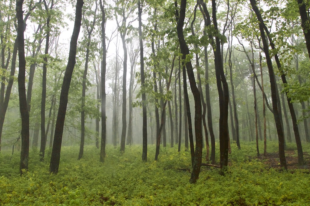 Photo: beyond_the_sea01, Public Domain Mark (via Flickr)
Thurmont Vista Loop Trail
Next door
0.74-mile point-to-point trail in Maryland with 126 ft gain
 Photo: Nicolas Raymond from Bethesda, Maryland, USA, CC BY 2.0 (via Wikimedia Commons)
Old Misery Trail
~1 min drive
Old Misery Trail is a 1.19-mile point-to-point trail in Maryland with 418 ft gain.
HIKE
Appalachian National Scenic Trail
~13 min drive
173.17-mile point-to-point trail in Maryland with 20,060 ft of elevation gain
HIKE
Yellow Poplar Trail
~20 min drive
6.25-mile point-to-point Maryland trail through yellow poplar woodlands.
Photo: beyond_the_sea01, Public Domain Mark (via Flickr)TR-4 Whiskey Still Trail
~2 min drive
0.86-mile out-and-back trail in Maryland with 341 ft gain.
Photo: beyond_the_sea01, Public Domain Mark (via Flickr)TR-5 Blue Ridge Summit Trail
~1 min drive
2.09-mile out-and-back trail in Maryland with 819 ft elevation gain.
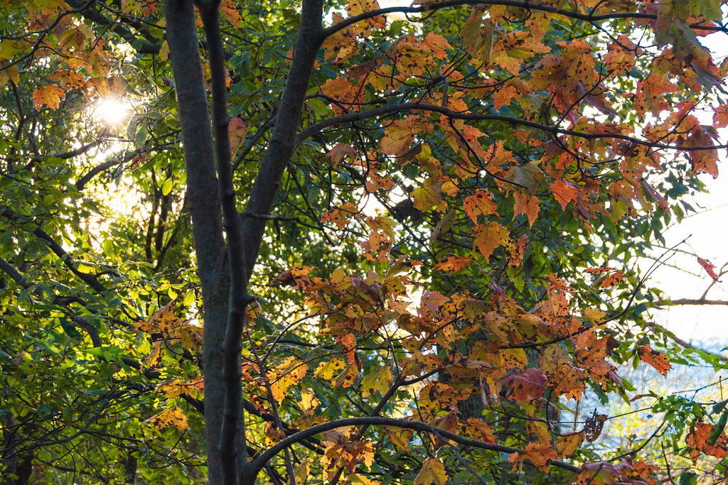 Photo: beyond_the_sea01, Public Domain Mark (via Flickr)
Charcoal Exhibit Trail
~2 min drive
0.56-mile loop with 168 ft gain in Maryland.
Photo: beyond_the_sea01, Public Domain Mark (via Flickr)Thurmont Vista Overlook
~2 min drive
0.47-mile point-to-point trail in Maryland with 236 ft gain, offering vista overlook views.
Photo: beyond_the_sea01, Public Domain Mark (via Flickr)TR-6 Charcoal Trail
~2 min drive
0.56-mile loop trail in Maryland with 102 ft gain.
 Photo: John Brighenti, CC BY 2.0 (via Flickr)
Hog Rock Loop Trail
~3 min drive
A scenic 3.91-mile point-to-point trail through Maryland woodlands.
Also worth it near here
 Photo: Unknown authorUnknown author or not provided, Public domain (via Wikimedia Commons)
Chimney Rock
Next door
 Photo: TrailVoice, CC BY-SA 2.0 (via Wikimedia Commons)
Wolf Rock
Next door
SEE
Cunningham Falls
~3 min drive
 Photo: Acroterion, CC BY-SA 4.0 (via Wikimedia Commons)
Camp Greentop Historic District
~4 min drive
Map and trail data © OpenStreetMap contributors
