North Loop
- 1.6 mi
- loop
- 284 ft
- climb
- 826 ft
- high point
- Loop
- route
- Apr–Oct
- best months
North Loop is a 1.6-mile hike in Maryland, about 1.4 miles from the town of Woodmont. It's a short, easy route, with a total elevation gain of 284 feet and a high point of 826 feet. The trail is a compact loop, and the climb is gentle, with the steepest stretch coming around 0.35 miles in. Horses are allowed, so the trail works for riders as well as hikers. The climb starts at about 776 feet, rises to the high point, and ends near the same level. Spring and fall are the most comfortable times to go. Typical averages from a nearby weather station show highs around 73°F in May and 66°F in October, with summer highs climbing into the mid-80s. The South Loop lies just 0.1 mile away. Within a few miles you'll also find the Chesapeake and Ohio Canal Trail, the Eastern Overlook Trail, and Little Orleans Campground.
- South LoopHiking0.1 mi
- Chesapeake and Ohio Canal TrailHiking2.2 mi
- Eastern Overlook TrailHiking2.7 mi
- Little Orleans CampgroundCamping5.6 mi
- Cacapon RiverRiver fishing6.3 mi
- Fifteenmile CreekCanoeing7.9 mi
- Hancock AqueductsRock climbing7.9 mi
- Devil's NoseRock climbing9.9 mi
Source: Roamze catalog (indexable pages within 10 miles, PostGIS distance)
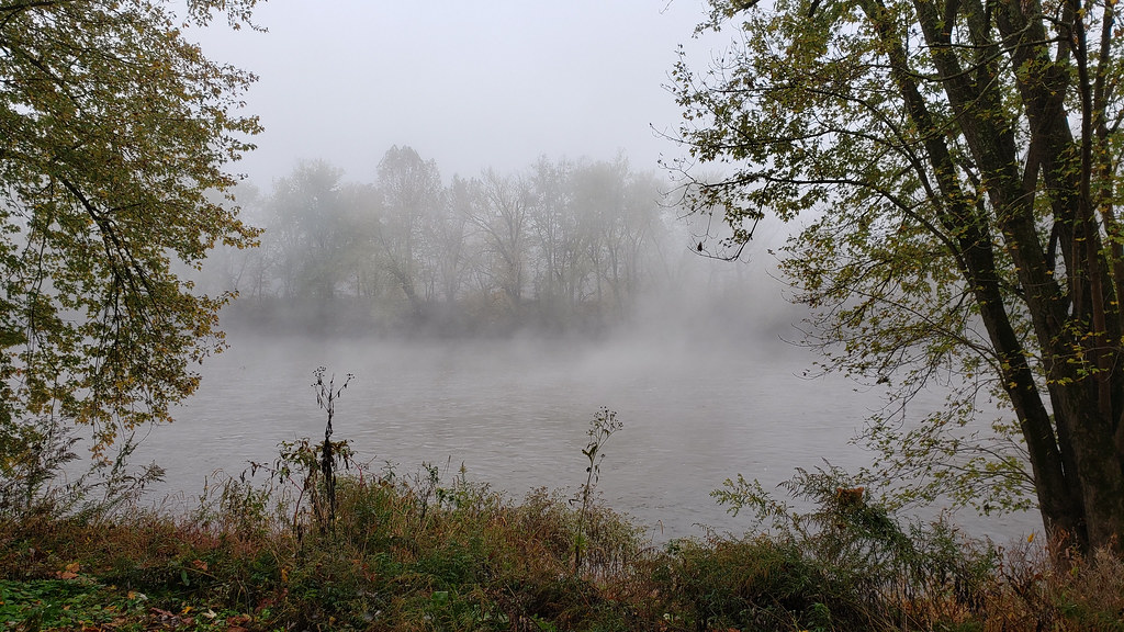 Long Pond Red TrailHiking · ~11 min drivePhoto: asciipip, CC BY-SA 2.0 (via Flickr)
 Chesapeake and Ohio Canal TrailHiking · ~13 min drivePhoto: John B. from Highland Park, NJ, United States, CC BY 2.0 (via Wikimedia Commons)
- Chesapeake and Ohio Canal TrailHiking · ~6 min drive
- Chesapeake and Ohio Canal TrailHiking · ~9 min drive
- Western Maryland Rail TrailHiking · ~4 min drive
 Chesapeake and Ohio Canal TrailHiking · ~17 min drivePhoto: Fredlyfish4, CC BY-SA 4.0 (via Wikimedia Commons)
- Chesapeake and Ohio Canal TrailHiking · ~11 min drive
- Great Eastern Trail - Green Ridge State ForestHiking · ~17 min drive
- Chesapeake and Ohio Canal TrailHiking · ~4 min drive
- Eastern Overlook TrailHiking · ~5 min drive
Best time to visit North Loop
Best months: April–October. Best months have typical highs of 55–85 °F, lows of 30 °F or warmer (32 °F where the station doesn't record snow), at most one snowy day and no more than 12 wet days.
Jan
40° / 21°
7 wet
Feb
43° / 23°
6 wet
Mar
52° / 30°
8 wet
Apr
64° / 40°
10 wet
May
73° / 49°
11 wet
Jun
81° / 58°
10 wet
Jul
85° / 62°
9 wet
Aug
83° / 60°
9 wet
Sep
77° / 53°
8 wet
Oct
66° / 42°
7 wet
Nov
54° / 32°
6 wet
Dec
44° / 25°
7 wet
Typical high / low (°F) and days with rain or snow, 1991–2020. Measured at Cacapon St Pk #2, WV, 9.6 mi away at 958 ft. This station doesn't record snowfall. Source: NOAA NCEI U.S. Climate Normals 1991–2020.
Map and trail data © OpenStreetMap contributors
