Eastern Overlook Trail
- 4.6 mi
- one way
- 1,059 ft
- climb
- 1,589 ft
- high point
- Point to point
- route
- Apr–Oct
- best months
Clear at last check
Weather is good · OpenWeather · checked 22 h ago
Eastern Overlook Trail is a 4.6-mile moderate hike in Maryland, about a mile from the town of Forest Park. The route runs from a low point of 727 feet to a high point of 1,589 feet, with a total elevation gain of 1,059 feet along the way. The trail is a point-to-point route rather than a loop, and the steepest stretch comes around 2.2 miles in, where the grade reaches about 19 percent. For timing, late spring and early fall are the most comfortable. Typical averages from a nearby weather station show May highs around 73°F and September highs around 77°F. That station sits well below the trail's high point, so temperatures up top run cooler. Horses are allowed on the trail. The trip takes about two hours, and the North Loop and South Loop hikes both lie about 2.7 miles away. Little Orleans Campground is about 6 miles off, and paddlers can head to Sideling Hill Creek, roughly 6 miles away.
- North LoopHiking2.7 mi
- South LoopHiking2.7 mi
- Chesapeake and Ohio Canal TrailHiking3.7 mi
- Sideling Hill CreekCanoeing5.9 mi
- Little Orleans CampgroundCamping6.1 mi
- Fifteenmile CreekCanoeing7.1 mi
- Hancock AqueductsRock climbing7.9 mi
- Cacapon RiverRiver fishing8.7 mi
Source: Roamze catalog (indexable pages within 10 miles, PostGIS distance)
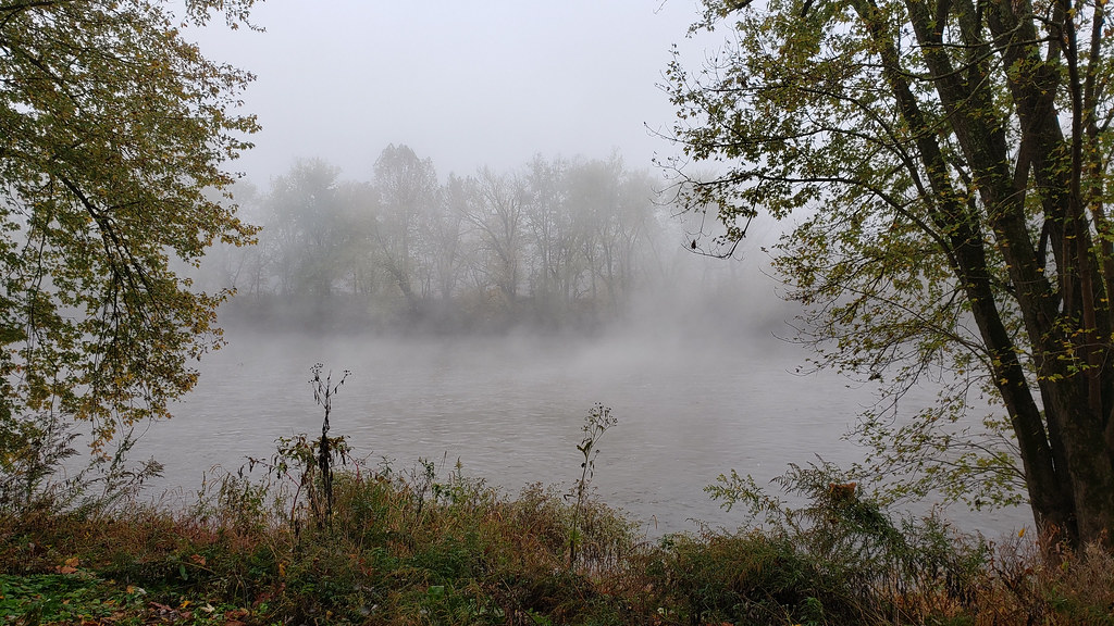 Long Pond Red TrailHiking · ~12 min drivePhoto: asciipip, CC BY-SA 2.0 (via Flickr)
 Chesapeake and Ohio Canal TrailHiking · ~15 min drivePhoto: John B. from Highland Park, NJ, United States, CC BY 2.0 (via Wikimedia Commons)
- Chesapeake and Ohio Canal TrailHiking · ~7 min drive
- Chesapeake and Ohio Canal TrailHiking · ~11 min drive
- South LoopHiking · ~5 min drive
 Chesapeake and Ohio Canal TrailHiking · ~19 min drivePhoto: Fredlyfish4, CC BY-SA 4.0 (via Wikimedia Commons)
- Chesapeake and Ohio Canal TrailHiking · ~11 min drive
- Great Eastern Trail - Green Ridge State ForestHiking · ~19 min drive
- North LoopHiking · ~5 min drive
- Silas TrailHiking · ~15 min drive
Best time to visit Eastern Overlook Trail
Best months: April–October. Best months have typical highs of 55–85 °F, lows of 30 °F or warmer (32 °F where the station doesn't record snow), at most one snowy day and no more than 12 wet days.
Jan
40° / 21°
7 wet
Feb
43° / 23°
6 wet
Mar
52° / 30°
8 wet
Apr
64° / 40°
10 wet
May
73° / 49°
11 wet
Jun
81° / 58°
10 wet
Jul
85° / 62°
9 wet
Aug
83° / 60°
9 wet
Sep
77° / 53°
8 wet
Oct
66° / 42°
7 wet
Nov
54° / 32°
6 wet
Dec
44° / 25°
7 wet
Typical high / low (°F) and days with rain or snow, 1991–2020. Measured at Cacapon St Pk #2, WV, 12.2 mi away at 958 ft. The station sits about 600 ft lower than this place, so expect it a little cooler here. This station doesn't record snowfall. Source: NOAA NCEI U.S. Climate Normals 1991–2020.
Map and trail data © OpenStreetMap contributors
