Western Maryland Rail Trail
- 1.6 mi
- round trip
- 10 ft
- climb
- Out and back
- route
- Easy
- difficulty
- Apr–Oct
- best months
Is Western Maryland Rail Trail open right now?
Closure in the area
There's a closure order in Chesapeake and Ohio Canal National Historical Park. It doesn't name Western Maryland Rail Trail, so check the source for the area it covers.
Closures: Detours; Towpath; Points of Interest
Park closure covering Chesapeake and Ohio Canal National Historical Park · NPS · Chesapeake and Ohio Canal National Historical Park
Hiking in Gold Mine Tract
Park alert covering Chesapeake and Ohio Canal National Historical Park · NPS · Chesapeake and Ohio Canal National Historical Park
DC Water Sewer Overflow
Park alert covering Chesapeake and Ohio Canal National Historical Park · NPS · Chesapeake and Ohio Canal National Historical Park
As of · Source: NPS · Chesapeake and Ohio Canal National Historical Park. Agencies don't list every closure — check before you go.
The Western Maryland Rail Trail is a 3.22-mile out-and-back trail in Maryland managed by the National Park Service. The trail follows a rail corridor with minimal elevation gain, making it a relatively flat walk through the region.
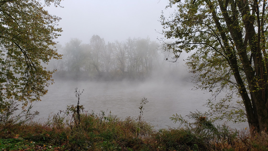 Long Pond Red TrailHiking · ~8 min drivePhoto: asciipip, CC BY-SA 2.0 (via Flickr)
 Chesapeake and Ohio Canal TrailHiking · ~9 min drivePhoto: John B. from Highland Park, NJ, United States, CC BY 2.0 (via Wikimedia Commons)
- Chesapeake and Ohio Canal TrailHiking · ~3 min drive
- Chesapeake and Ohio Canal TrailHiking · ~6 min drive
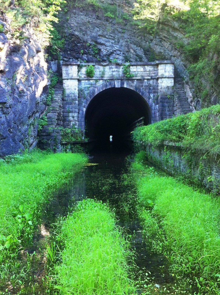 Chesapeake and Ohio Canal TrailHiking · ~16 min drivePhoto: randomduck, CC BY-SA 2.0 (via Flickr)
 Chesapeake and Ohio Canal TrailHiking · ~14 min drivePhoto: Fredlyfish4, CC BY-SA 4.0 (via Wikimedia Commons)
- Chesapeake and Ohio Canal TrailHiking · ~15 min drive
- Great Eastern Trail - Green Ridge State ForestHiking · ~14 min drive
- Chesapeake and Ohio Canal TrailHiking · Next door
- Paw Paw Tunnel Hill TrailHiking · ~16 min drivePhoto: randomduck, CC BY-SA 2.0 (via Flickr)
Best time to visit Western Maryland Rail Trail
Best months: April–October. Best months have typical highs of 55–85 °F, lows of 30 °F or warmer (32 °F where the station doesn't record snow), at most one snowy day and no more than 12 wet days.
Jan
40° / 21°
7 wet
Feb
43° / 23°
6 wet
Mar
52° / 30°
8 wet
Apr
64° / 40°
10 wet
May
73° / 49°
11 wet
Jun
81° / 58°
10 wet
Jul
85° / 62°
9 wet
Aug
83° / 60°
9 wet
Sep
77° / 53°
8 wet
Oct
66° / 42°
7 wet
Nov
54° / 32°
6 wet
Dec
44° / 25°
7 wet
Typical high / low (°F) and days with rain or snow, 1991–2020. Measured at Cacapon St Pk #2, WV, 9 mi away at 958 ft. We don't have this place's elevation, so higher spots nearby can run cooler. This station doesn't record snowfall. Source: NOAA NCEI U.S. Climate Normals 1991–2020.
