Flagstaff Mountain
- 2,498 ft
- summit
- 1
- way up
- Aug–Sep
- best months
Flagstaff Mountain is a summit in Maine, rising to 2,498 feet. The nearest town is Kingfield, about 21 miles away. The Flagstaff Mountain Trail starts half a mile from the peak, making it the natural route for reaching the top. Summer is the most comfortable time to go. Typical averages from a nearby weather station at Long Falls Dam show July highs around 77°F with lows near 55°F, while winter highs stay in the 20s. That station sits well below the summit, so temperatures on the mountain run cooler. Other outings lie within a short drive. The Dead River offers canoeing about 5.6 miles away, and Flagstaff Lake is about 6.6 miles off. Climbers can head to Cranberry Pond (Bigelow Range), roughly 7.5 miles away.
Conditions and forecast
Daily highs and lows, wind and the chance of precipitation at the summit and route start for the next 7 days, from the Open-Meteo model.
- Summit elevation
- 2,498 ft
Elevation from USGS 3D Elevation Program terrain data (about 10 m resolution).
Map © Mapbox © OpenStreetMap contributors Questions about Flagstaff Mountain
How tall is Flagstaff Mountain?
2,498 ft (761 m).
How many routes go to the summit of Flagstaff Mountain?
One: Flagstaff Mountain Trail.
 Sugarloaf Mountain4,233 ft · Maine1 route14 mi awayPhoto: petersent, Public domain (via Wikimedia Commons)
- Coburn Mountain3,719 ft · Maine1 route18 mi away
- Number Five Mountain3,181 ft · Maine1 route18 mi away
- Mount Abraham4,047 ft · Maine3 routes19 mi away
- Pleasant Pond Mountain2,475 ft · Maine1 route20 mi away
- Moxie Mountain2,929 ft · Maine1 route20 mi away
- Flagstaff Mountain TrailHiking0.5 mi
- Dead RiverCanoeing5.6 mi
- Falls TrailHiking5.6 mi
- Flagstaff LakeLake fishing6.6 mi
- Fisherman TrailHiking6.6 mi
- Maine Huts TrailHiking6.6 mi
- Cranberry Pond (Bigelow Range)Rock climbing7.5 mi
- Off the Beaten Path WallsRock climbing9.1 mi
Source: Roamze catalog (indexable pages within 10 miles, PostGIS distance)
- Sugarloaf MountainSummit · ~25 min drivePhoto: petersent, Public domain (via Wikimedia Commons)
 Mount PisgahSummit · ~34 min drivePhoto: Richard Coté, CC BY-SA 4.0 (via Wikimedia Commons)
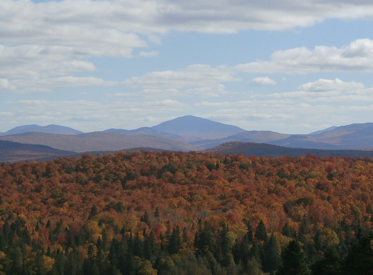 Snow MountainSummit · ~34 min drivePhoto: Richard Coté, CC BY-SA 4.0 (via Wikimedia Commons)
 Caribou MountainSummit · ~35 min drivePhoto: Richard Coté, CC BY-SA 3.0 (via Wikimedia Commons)
 The HornSummit · ~38 min drivePhoto: petersent, Public domain (via Wikimedia Commons)
 Van Dyke MountainSummit · ~43 min drivePhoto: Richard Coté, CC BY-SA 4.0 (via Wikimedia Commons)
 Mont LouiseSummit · ~46 min drivePhoto: Richard Coté, CC BY-SA 4.0 (via Wikimedia Commons)
 Mont GosfordSummit · ~47 min drivePhoto: JF Dallaire, CC BY 3.0 (via Wikimedia Commons)
 Mont Round TopSummit · ~52 min drivePhoto: Richard Coté, CC BY-SA 4.0 (via Wikimedia Commons)
 Montagne du Porc-ÉpicSummit · ~52 min drivePhoto: Richard Coté, CC BY-SA 4.0 (via Wikimedia Commons)
Best time to visit Flagstaff Mountain
Best months: August–September. Best months have typical highs of 55–85 °F, lows of 30 °F or warmer (32 °F where the station doesn't record snow), at most one snowy day and no more than 12 wet days.
Jan
23° / 4°
12 wet
Feb
26° / 5°
10 wet
Mar
35° / 14°
12 wet
Apr
47° / 28°
12 wet
May
62° / 40°
14 wet
Jun
71° / 50°
14 wet
Jul
77° / 55°
14 wet
Aug
76° / 53°
12 wet
Sep
68° / 46°
11 wet
Oct
54° / 35°
13 wet
Nov
40° / 25°
13 wet
Dec
29° / 14°
14 wet
Typical high / low (°F) and days with rain or snow, 1991–2020. Measured at Long Falls Dam, ME, 5.4 mi away at 1,160 ft. The station sits about 1,300 ft lower than this place, so expect it a little cooler here. This station doesn't record snowfall. Source: NOAA NCEI U.S. Climate Normals 1991–2020.
