The Horn
 Photo: petersent, Public domain (via Wikimedia Commons)
- 4,023 ft
- summit
Is The Horn open right now?
Closure in the area
There's a closure order in Appalachian National Scenic Trail. It doesn't name The Horn, so check the source for the area it covers.
List of trail closures post-Hurricane Helene
Park closure covering Appalachian National Scenic Trail · NPS · Appalachian National Scenic Trail
Black Bears Frequenting the McAfee Knob Area in Virginia
Park alert covering Appalachian National Scenic Trail · NPS · Appalachian National Scenic Trail
As of · Source: NPS · Appalachian National Scenic Trail. Agencies don't list every closure — check before you go.
The Horn is a summit of about 4,023 feet in Franklin County, Maine, set within the Appalachian National Scenic Trail. The nearest town is Rangeley, about 8 miles away. Berry Picker's Trail lies less than a mile away, and The Pass Path and Green Weaver Path are each about 1.5 miles off. For winter, the Larry Hall Trail, a cross-country ski route, is about 2.5 miles away.
Conditions and forecast
Daily highs and lows, wind and the chance of precipitation at the summit for the next 7 days, from the Open-Meteo model.
- Summit elevation
- 4,023 ft
Elevation from USGS 3D Elevation Program terrain data (about 10 m resolution).
We don't know of a mapped trail or route to the summit of The Horn. Plan the approach with local maps, a guidebook or a local guide, and check conditions before you go.
Questions about The Horn
How tall is The Horn?
4,023 ft (1,226 m).
Is there a trail to the top of The Horn?
We don't know of a mapped trail or route to the summit. Plan the approach with local maps, a guidebook or a local guide.
- Mount Abraham4,047 ft · Maine3 routes8.0 mi away
 Sugarloaf Mountain4,233 ft · Maine1 route10 mi awayPhoto: petersent, Public domain (via Wikimedia Commons)
- Jackson Mountain3,553 ft · Maine1 route13 mi away
- Little Jackson Mountain3,453 ft · Maine1 route14 mi away
- Bald Mountain2,435 ft · Maine2 routes14 mi away
 Tumbledown Mountain3,071 ft · Maine1 route14 mi awayPhoto: Noah Meyerhans, CC BY-SA 2.0 (via Wikimedia Commons)
 Berry Picker's TrailHikingPhoto: John Hayes (gravelboy), CC BY 2.0 (via Flickr)0.8 mi
 Green Weaver PathHikingPhoto: Jack.Flanagan, CC BY 2.0 (via Flickr)1.5 mi
 The Pass PathHikingPhoto: Jack.Flanagan, CC BY 2.0 (via Flickr)1.5 mi
- Grey Ghost PathHikingPhoto: Jack.Flanagan, CC BY 2.0 (via Flickr)1.9 mi
- Fly Rod Crosby TrailHiking2.4 mi
- Larry Hall TrailCross-country skiing2.5 mi
 Stream Bed TrailHikingPhoto: John Hayes (gravelboy), CC BY 2.0 (via Flickr)2.7 mi
- Moose AlleyCross-country skiing3 mi
Source: Roamze catalog (indexable pages within 10 miles, PostGIS distance)
- Sugarloaf MountainSummit · ~17 min drivePhoto: petersent, Public domain (via Wikimedia Commons)
- Tumbledown MountainSummit · ~24 min drivePhoto: Noah Meyerhans, CC BY-SA 2.0 (via Wikimedia Commons)
 Mount BlueSummit · ~29 min drivePhoto: Tim Pierce, Public domain (via Wikimedia Commons)
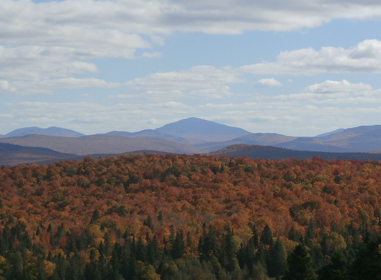 Snow MountainSummit · ~44 min drivePhoto: Richard Coté, CC BY-SA 4.0 (via Wikimedia Commons)
 Mount PisgahSummit · ~52 min drivePhoto: Richard Coté, CC BY-SA 4.0 (via Wikimedia Commons)
 Mont GosfordSummit · ~52 min drivePhoto: JF Dallaire, CC BY 3.0 (via Wikimedia Commons)
 Caribou MountainSummit · ~58 min drivePhoto: Richard Coté, CC BY-SA 3.0 (via Wikimedia Commons)
 Magalloway MountainSummit · ~58 min drivePhoto: User:Magicpiano, CC BY-SA 4.0 (via Wikimedia Commons)
 Twin PeaksSummit · ~1h drivePhoto: Richard Coté, CC BY-SA 4.0 (via Wikimedia Commons)
 Mont LouiseSummit · ~1h 2m drivePhoto: Richard Coté, CC BY-SA 4.0 (via Wikimedia Commons)

