Valley Trail
 Photo: daveynin, CC BY 2.0 (via Flickr)
- 1.6 mi
- one way
- 338 ft
- climb
- 506 ft
- high point
- Point to point
- route
- Jun–Oct
- best months
Is Valley Trail open right now?
Closure in the area
There's a closure order in Acadia National Park. It doesn't name Valley Trail, so check the source for the area it covers (2 listed).
Cadillac Summit Road closed to all users Nov 9-25 and Dec 1-18
Park closure covering Acadia National Park · NPS · Acadia National Park
Eastern Section of Beech Mountain Loop Trail Closed for Repairs
Park closure covering Acadia National Park · NPS · Acadia National Park
As of · Source: NPS · Acadia National Park. Agencies don't list every closure — check before you go.
Valley Trail is an easy 1.6-mile point-to-point hike in Acadia National Park on the coast of Maine, managed by the National Park Service. It rises from a low of about 63 feet to a high of 506 feet, with a one-way gain of 338 feet and a total loss of 675 feet over the route. Summer is the most comfortable time to go. Typical averages from a nearby weather station show July highs around 79°F with lows near 60°F, while September cools to highs near 71°F. Winters are cold, with January highs around 33°F. The trail is a short outing. Plan about half an hour for the walk, and allow time to explore other nearby routes. The Cold Brook Trail lies about half a mile away, and the Great Pond Trail is about 0.6 miles off. Climbers can find Canada Cliff Rock and Beech Cliff Bouldering within a mile.
Local outfitters
- Atlantic Climbing School9 mi away
Not on Roamze yet. Their page has how to reach them.
Best time to go · Jun–Oct
Best time to visit Valley Trail
Best months: June–October. Best months have typical highs of 55–85 °F, lows of 30 °F or warmer (32 °F where the station doesn't record snow), at most one snowy day and no more than 12 wet days.
Jan
33° / 15°
12 wet
Feb
35° / 18°
10 wet
Mar
42° / 25°
12 wet
Apr
53° / 35°
12 wet
May
65° / 45°
13 wet
Jun
74° / 54°
12 wet
Jul
79° / 60°
11 wet
Aug
78° / 60°
10 wet
Sep
71° / 53°
11 wet
Oct
58° / 43°
12 wet
Nov
48° / 33°
12 wet
Dec
38° / 22°
13 wet
Typical high / low (°F) and days with rain or snow, 1991–2020. Measured at Acadia Np, ME, 6.4 mi away at 470 ft. This station doesn't record snowfall. Source: NOAA NCEI U.S. Climate Normals 1991–2020.
Keep exploring — more trails worth the drive
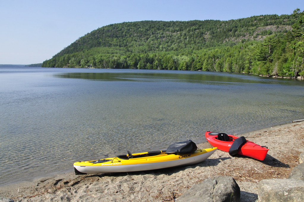 Photo: samenstelling, CC BY 2.0 (via Flickr)
Cold Brook Trail
Next door
0.41-mile point-to-point trail in Maine with 111 ft gain.
 Photo: Apuch, CC BY-SA 2.0 (via Flickr)
Beech West Ridge Trail
~1 min drive
0.86-mile point-to-point trail in Maine with 292 ft gain.
Photo: samenstelling, CC BY 2.0 (via Flickr)Mansell Mountain Trail
~2 min drive
Short out-and-back summit hike with scenic Maine mountain views.
 Photo: Christian Collins, CC BY-SA 2.0 (via Flickr)
Beech Mountain South Trail
~1 min drive
0.75-mile point-to-point trail in Maine with 582 ft elevation loss.
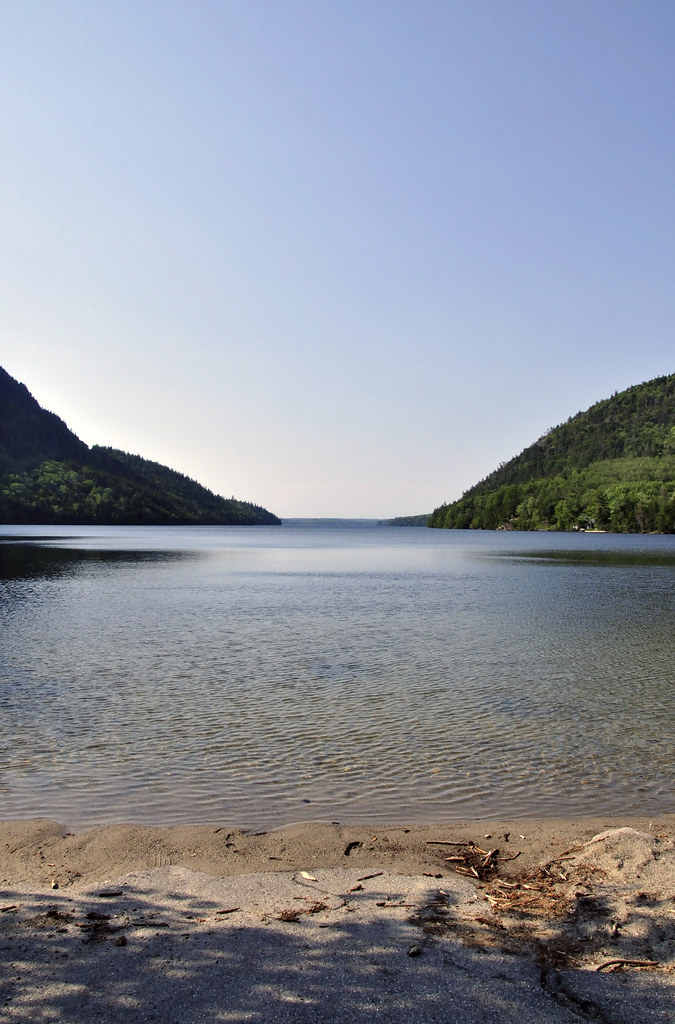 Photo: samenstelling, CC BY 2.0 (via Flickr)
Great Pond Trail
~1 min drive
2.67-mile out-and-back trail in Maine with 1,365 ft elevation gain
 Photo: aparlette, CC BY 2.0 (via Flickr)
Amphitheatre Trail
~6 min drive
1.47-mile out-and-back hike in Maine with 867 ft gain.
Photo: samenstelling, CC BY 2.0 (via Flickr)Perpendicular Trail
~1 min drive
Quick point-to-point Maine trail under a mile.
Photo: Christian Collins, CC BY-SA 2.0 (via Flickr)Beech Mountain Loop Trail
~2 min drive
1.11-mile out-and-back trail in Maine with 772 ft elevation gain
 Photo: Apuch, CC BY-SA 2.0 (via Flickr)
Ledge Trail
~1 min drive
0.49-mile out-and-back trail in Maine with 422 ft of elevation gain.
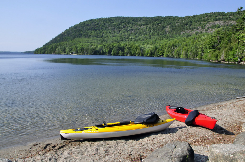 Photo: samenstelling, CC BY 2.0 (via Flickr)
Razorback Trail
~2 min drive
Easy 1-mile out-and-back Maine trail for casual hikers.


Map and trail data © OpenStreetMap contributors
