Camp Scelkit
Campground
Campground · 4.7 mi from the trail
 Photo: InAweofGod'sCreation, CC BY 2.0 (via Wikimedia Commons)
Red Trail is a short, easy out-and-back hike in Maine, set within the Remick land unit, which is managed by a non-governmental organization. The trail is about a mile long, with a total elevation gain of about 45 feet, and it reaches a high point of about 91 feet. The route is gentle, with the steepest stretch coming at about 0.4 miles in, where the grade reaches about 10 percent. Summer is the most comfortable time to go. Typical averages from a nearby weather station in Greenland, New Hampshire, show July highs around 80°F with lows near 60°F, while September cools to highs around 72°F. The Yellow Loop Trail starts just 0.2 miles away, and the Leland Trail and Quimby Trail (Yellow) are both within about 2.5 miles. Climbers can find The Temple about 7 miles away in New Hampshire.
Camp Scelkit
Campground
 If it rainsUnknown author Unknown author, Public domain · Wikimedia Commons
1953 research submarine
Places © OpenStreetMap contributors · Photos: Unknown author Unknown author, Public domain (commons)
More in NewburyportBest months: April–October. Best months have typical highs of 55–85 °F, lows of 30 °F or warmer (32 °F where the station doesn't record snow), at most one snowy day and no more than 12 wet days.
Jan
33° / 16°
11 wet
Feb
36° / 18°
9 wet
Mar
43° / 25°
11 wet
Apr
56° / 35°
11 wet
May
66° / 45°
12 wet
Jun
75° / 54°
11 wet
Jul
80° / 60°
11 wet
Aug
79° / 59°
9 wet
Sep
72° / 52°
9 wet
Oct
60° / 40°
11 wet
Nov
48° / 31°
11 wet
Dec
38° / 22°
11 wet
Typical high / low (°F) and days with rain or snow, 1991–2020. Measured at Greenland, NH, 7.2 mi away at 95 ft. This station doesn't record snowfall. Source: NOAA NCEI U.S. Climate Normals 1991–2020.
Photo: InAweofGod'sCreation, CC BY 2.0 (via Wikimedia Commons)Yellow Loop Trail
Next door
0.31-mile out-and-back trail in Maine with 118 ft of elevation gain.
HIKE
Friendship Trail
~7 min drive
0.65-mile out-and-back trail in Maine with 129 ft of elevation gain.
 Photo: Klieg, Public Domain Mark (via Flickr)
Quimby Trail (Yellow)
~4 min drive
0.96-mile out-and-back trail in Maine with 195 ft gain.
HIKE
YKWD - White Trail
~9 min drive
6.4-mile out-and-back trail in Maine with 894 ft elevation gain and loss.
Photo: Klieg, Public Domain Mark (via Flickr)Haley - Lewis Trail (Blue)
~4 min drive
0.66-mile out-and-back trail in Maine with 52 ft of elevation gain.
HIKE
KWD/YWD - Yellow Trail
~10 min drive
5.12-mile out-and-back trail in Maine with 721 ft elevation gain
 Photo: Magicpiano, CC BY-SA 3.0 (via Wikimedia Commons)
Pomeroy Cove Multiuse Path
~6 min drive
0.62-mile out-and-back multiuse path at Pomeroy Cove in New Hampshire.
 Photo: U. S. Fish and Wildlife Service - Northeast Region, Public Domain Mark (via Flickr)
Peverly Pond Trail
~8 min drive
0.41-mile loop trail in New Hampshire with 86 ft elevation gain
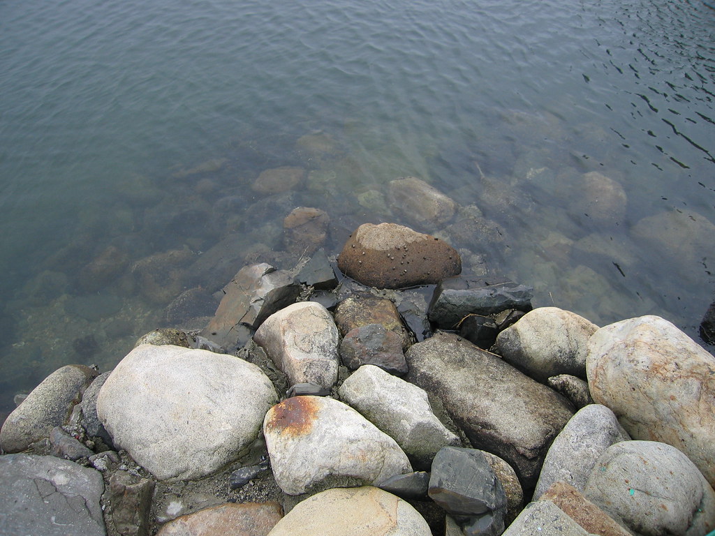 Photo: Eric F Savage, CC BY-SA 2.0 (via Flickr)
Red Oak Trail
~8 min drive
Red Oak Trail is a 1.66-mile out-and-back in Maine with 218 ft gain.
 Photo: Nancy, CC BY 2.0 (via Wikimedia Commons)
Cutts Island Trail
~8 min drive
An easy 1.60-mile point-to-point singletrack trail in Maine, perfect for hikers of all abilities.
About 1.0 mi round trip.
About 270 ft of climbing round trip.
It is rated easy.
About 0.5 hours round trip.
Daily highs and lows, wind and the chance of precipitation at the summit and route start for the next 7 days, from the Open-Meteo model.
Map and trail data © OpenStreetMap contributors
