Libby's Oceanside Camp
Campground
Campground · 2.5 mi from the trail
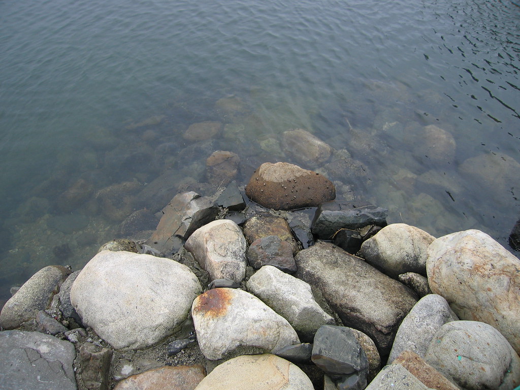 Photo: Eric F Savage, CC BY-SA 2.0 (via Flickr)
Red Oak Trail is a short, easy hike in Fuller Forest in Maine, managed by a non-governmental organization. The trail is an out-and-back route of about 3.3 miles, with a low point of 35 feet and a high of 100 feet. The climb is gentle, with a total elevation gain of about 65 feet, and the steepest stretch comes at about 0.84 miles in, with a grade of 8 percent. Summer and early fall are the most comfortable times to go. Typical averages from the nearby Cape Neddick weather station show July and August highs around 79°F, with September easing to about 71°F and the fewest wet days of the year. Several other trails sit close by. Starflower Loop is about 0.3 miles away, Friendship Trail about 0.5 miles, and Old Norton Road Trail about 0.9 miles. Kenyon Hill Preserve, a climbing area, is roughly 9 miles off.
Libby's Oceanside Camp
Campground
 If it rainsThe original uploader was Decumanus at English Wikipedia ., CC BY-SA 3.0 · Wikimedia Commons
Fort McClary
Museum
Places © OpenStreetMap contributors · Photos: The original uploader was Decumanus at English Wikipedia ., CC BY-SA 3.0 (commons)
More in NewburyportBest months: April–October. Best months have typical highs of 55–85 °F, lows of 30 °F or warmer (32 °F where the station doesn't record snow), at most one snowy day and no more than 12 wet days.
Jan
32° / 14°
11 wet
Feb
35° / 16°
9 wet
Mar
42° / 24°
11 wet
Apr
56° / 34°
11 wet
May
66° / 44°
12 wet
Jun
74° / 54°
11 wet
Jul
79° / 61°
10 wet
Aug
79° / 59°
9 wet
Sep
71° / 51°
8 wet
Oct
59° / 40°
10 wet
Nov
48° / 31°
11 wet
Dec
38° / 21°
12 wet
Typical high / low (°F) and days with rain or snow, 1991–2020. Measured at Cape Neddick, ME, 6.8 mi away at 152 ft. This station doesn't record snowfall. Source: NOAA NCEI U.S. Climate Normals 1991–2020.
Photo: Eric F Savage, CC BY-SA 2.0 (via Flickr)Starflower Loop
Next door
Easy 1-mile out-and-back woodland walk through Maine forest.
 Photo: En el nido (Nest), CC BY 3.0 (via Wikimedia Commons)
YKWD - Blue Trail
~7 min drive
5.06-mile out-and-back trail in Maine with 650 ft elevation gain
 Photo: Klieg, Public Domain Mark (via Flickr)
Haley - Lewis Trail (Blue)
~4 min drive
0.66-mile out-and-back trail in Maine with 52 ft of elevation gain.
HIKE
Friendship Trail
Next door
0.65-mile out-and-back trail in Maine with 129 ft of elevation gain.
Photo: Klieg, Public Domain Mark (via Flickr)Quimby Trail (Yellow)
~4 min drive
0.96-mile out-and-back trail in Maine with 195 ft gain.
HIKE
YKWD - White Trail
~5 min drive
6.4-mile out-and-back trail in Maine with 894 ft elevation gain and loss.
 Photo: Nancy, CC BY 2.0 (via Wikimedia Commons)
Cutts Island Trail
~4 min drive
An easy 1.60-mile point-to-point singletrack trail in Maine, perfect for hikers of all abilities.
HIKE
KWD/YWD - Yellow Trail
~8 min drive
5.12-mile out-and-back trail in Maine with 721 ft elevation gain
 Photo: InAweofGod'sCreation, CC BY 2.0 (via Wikimedia Commons)
Red Trail
~8 min drive
0.99-mile out-and-back trail in Maine with 237 ft of elevation gain.
HIKE
YWD/KWD - Silver Trail
~10 min drive
5.22-mile out-and-back trail in Maine with 567 ft elevation gain
Map and trail data © OpenStreetMap contributors
