Camp Scelkit
Campground
Campground · 3.0 mi from the trail
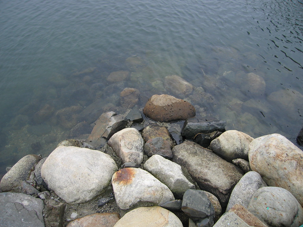
 Photo: Klieg, Public Domain Mark (via Flickr)
The Haley - Lewis Trail (Blue) is a short, easy out-and-back hike in southern Maine, about 1.3 miles from Briggs Corner. The route is a flat walk of roughly 1.3 miles round trip, with a low point of 55 feet and a high of 88 feet. It gains and loses about 47 feet in total, and the steepest stretch is just past the start, with a 3% grade. The trail is suited to a quick outing, and the entire trip takes about half an hour. Late summer into early fall is the most comfortable time to go. Typical averages from the nearby Cape Neddick weather station put September highs around 71°F with lows near 51°F, and it has the fewest wet days of the year at about eight. The Quimby Trail (Yellow) sits just 0.1 mile away. The Old Farm Road Trail and Patten Ridge Trail are both about 0.9 mile off, and the Kenyon Hill Preserve climbing area is within 10 miles.
Camp Scelkit
Campground
 If it rainsThe original uploader was Decumanus at English Wikipedia ., CC BY-SA 3.0 · Wikimedia Commons
Fort McClary
Museum
Places © OpenStreetMap contributors · Photos: The original uploader was Decumanus at English Wikipedia ., CC BY-SA 3.0 (commons)
More in NewburyportQuimby Trail (Yellow)HikingPhoto: Klieg, Public Domain Mark (via Flickr)0.1 miSource: Roamze catalog (indexable pages within 10 miles, PostGIS distance)
Quimby Trail (Yellow)Hiking · Next doorPhoto: Klieg, Public Domain Mark (via Flickr) YKWD - Blue TrailHiking · ~9 min drivePhoto: En el nido (Nest), CC BY 3.0 (via Wikimedia Commons)
 Red Oak TrailHiking · ~4 min drivePhoto: Eric F Savage, CC BY-SA 2.0 (via Flickr)Starflower LoopHiking · ~4 min drivePhoto: Eric F Savage, CC BY-SA 2.0 (via Flickr)
 Red TrailHiking · ~4 min drivePhoto: InAweofGod'sCreation, CC BY 2.0 (via Wikimedia Commons)
 Cutts Island TrailHiking · ~5 min drivePhoto: Nancy, CC BY 2.0 (via Wikimedia Commons)
Best months: April–October. Best months have typical highs of 55–85 °F, lows of 30 °F or warmer (32 °F where the station doesn't record snow), at most one snowy day and no more than 12 wet days.
Jan
32° / 14°
11 wet
Feb
35° / 16°
9 wet
Mar
42° / 24°
11 wet
Apr
56° / 34°
11 wet
May
66° / 44°
12 wet
Jun
74° / 54°
11 wet
Jul
79° / 61°
10 wet
Aug
79° / 59°
9 wet
Sep
71° / 51°
8 wet
Oct
59° / 40°
10 wet
Nov
48° / 31°
11 wet
Dec
38° / 21°
12 wet
Typical high / low (°F) and days with rain or snow, 1991–2020. Measured at Cape Neddick, ME, 8.1 mi away at 152 ft. This station doesn't record snowfall. Source: NOAA NCEI U.S. Climate Normals 1991–2020.
Map and trail data © OpenStreetMap contributors
