Lean-To Loop
- 0.9 mi
- loop
- 56 ft
- climb
- 270 ft
- high point
- Loop
- route
- Jul–Oct
- best months
Lean-To Loop is a short, easy loop in West Branch Preserve in Maine, a preserve managed by a non-governmental organization. The trail is about 0.9 miles long, with a total elevation gain of 56 feet and a high point of 270 feet. It makes a quick outing for anyone exploring the preserve's network of trails. Summer is the most comfortable time to go. Typical averages from a nearby weather station in Newcastle show July highs around 78°F with lows near 60°F, while winter brings highs in the 30s and regular snow days from December through February. The loop takes about half an hour to complete. Katie's Way West and Katie's Way East both start within a mile, and Joe's Trail is about 1.2 miles away. Paddlers can reach the West Branch Sheepscot River, roughly 9 miles off.
- Katie's Way WestHiking0.7 mi
- Katie's Way EastHiking0.8 mi
- Joe's TrailHiking1.2 mi
- Sheepscot West Branch TrailHiking5.7 mi
- Happy Farm TrailHiking7.4 mi
- Wawenock AhwanganCanoeing8.1 mi
- West Branch Sheepscot RiverCanoeing8.8 mi
Source: Roamze catalog (indexable pages within 10 miles, PostGIS distance)
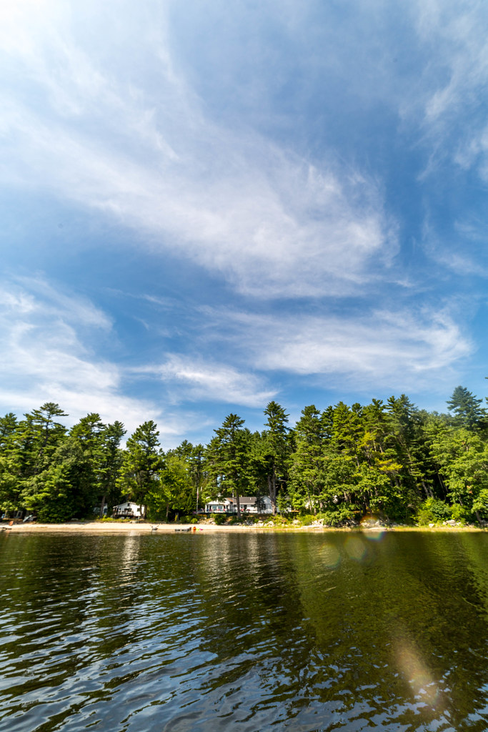 Blue TrailHiking · ~23 min drivePhoto: Sarah and Jason, CC BY-SA 2.0 (via Flickr)
- Tracy's Mill LoopHiking · ~1 min drive
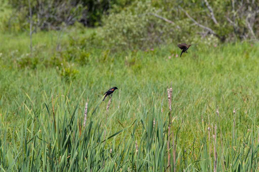 Bayside TrailHiking · ~24 min drivePhoto: Sarah and Jason, CC BY-SA 2.0 (via Flickr)
- Tracy's Mill LoopHiking · ~2 min drive
 Oyster Creek TrailHiking · ~24 min drivePhoto: Sarah and Jason, CC BY-SA 2.0 (via Flickr)
- Blue TrailHiking · ~27 min drive
 Great Salt Bay and Hart Family Heritage TrailHiking · ~25 min drivePhoto: jmlwinder, CC BY 2.0 (via Flickr)
- Blue TrailHiking · ~30 min drive
 Cross Country TrailsHiking · ~25 min drivePhoto: jmlwinder, CC BY 2.0 (via Flickr)
 Outerloop TrailHiking · ~26 min drivePhoto: SarahPrince09, Public Domain Dedication (CC0) (via Flickr)
Best time to visit Lean-To Loop
Best months: July–October. Best months have typical highs of 55–85 °F, lows of 30 °F or warmer (32 °F where the station doesn't record snow), at most one snowy day and no more than 12 wet days.
Jan
30° / 15°
12 wet · 10 snow
Feb
33° / 17°
11 wet · 8 snow
Mar
41° / 25°
11 wet · 7 snow
Apr
53° / 35°
12 wet · 2 snow
May
65° / 45°
14 wet
Jun
73° / 54°
13 wet
Jul
78° / 60°
12 wet
Aug
77° / 59°
10 wet
Sep
69° / 52°
10 wet
Oct
57° / 42°
12 wet
Nov
46° / 32°
12 wet · 3 snow
Dec
36° / 22°
13 wet · 7 snow
Typical high / low (°F) and days with rain or snow, 1991–2020. Measured at Newcastle, ME, 14.6 mi away at 213 ft. Source: NOAA NCEI U.S. Climate Normals 1991–2020.
Map and trail data © OpenStreetMap contributors
