Blue Trail
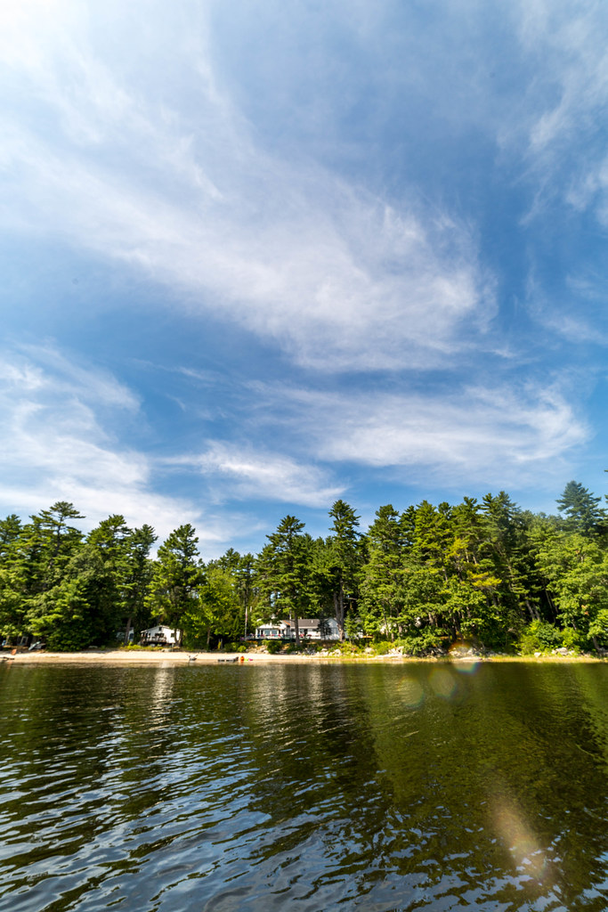 Photo: Sarah and Jason, CC BY-SA 2.0 (via Flickr)
- 0.8 mi
- round trip
- 321 ft
- climb
- 193 ft
- high point
- Out and back
- route
- Jul–Oct
- best months
Clear at last check
Weather is good · OpenWeather · checked 13 h ago
Blue Trail is a short, easy out-and-back hike in Maine, about 1.4 miles from the town of Sprague Corner. The route is roughly 1.6 miles long, with a total elevation gain of about 320 feet, and it reaches a high point of 193 feet. The trail is rated easy, and the climb is gentle, with the steepest stretch at about 0.57 miles in, where the grade reaches about 9 percent. Summer is the most comfortable time to go. Typical averages from a nearby weather station in Newcastle show July highs around 78°F with lows near 60°F, while winter brings highs in the 30s and regular snow days from December through February. The trip takes about half an hour, so it works well as a quick outing. The trail is close to several other routes, including the Orange Trail about 2 miles away and the Oyster Creek Trail and Bayside Trail, each a little under 3 miles off. Paddlers can find the Wawenock Ahwangan canoeing route about 6.6 miles away.
- Orange TrailHiking2.1 mi
 Oyster Creek TrailHikingPhoto: Sarah and Jason, CC BY-SA 2.0 (via Flickr)2.7 mi
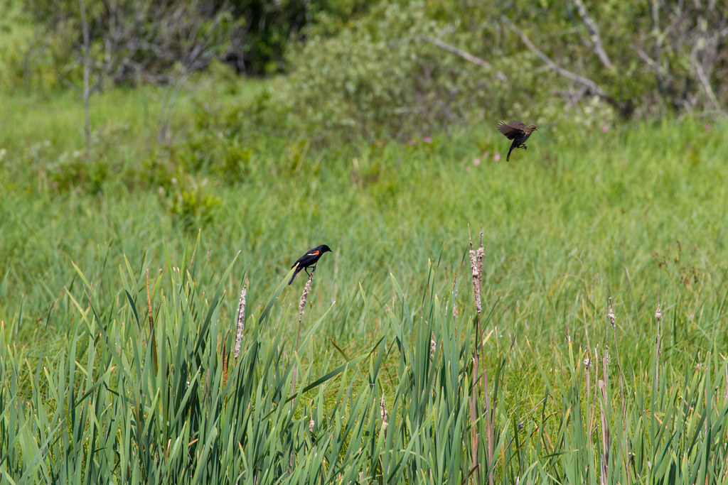 Bayside TrailHikingPhoto: Sarah and Jason, CC BY-SA 2.0 (via Flickr)2.8 mi
- Fields TrailHiking3.2 mi
- MarshHiking3.2 mi
- Walmarsh Woods LoopHiking3.2 mi
- Wawenock AhwanganCanoeing6.6 mi
- Dodge PointRock climbing6.6 mi
Source: Roamze catalog (indexable pages within 10 miles, PostGIS distance)
- Oyster Creek TrailHiking · ~5 min drivePhoto: Sarah and Jason, CC BY-SA 2.0 (via Flickr)
 Blue TrailHiking · ~14 min drivePhoto: Cgg1, CC BY-SA 3.0 (via Wikimedia Commons)
- Bayside TrailHiking · ~5 min drivePhoto: Sarah and Jason, CC BY-SA 2.0 (via Flickr)
- Blue TrailHiking · ~4 min drive
 Hilton O’Connor Trail (Blue Loop)Hiking · ~6 min drivePhoto: daveyboyvt, CC BY 2.0 (via Flickr)
- Shore TrailHiking · ~11 min drive
 Great Salt Bay and Hart Family Heritage TrailHiking · ~6 min drivePhoto: jmlwinder, CC BY 2.0 (via Flickr)
 Cross Country TrailsHiking · ~7 min drivePhoto: jmlwinder, CC BY 2.0 (via Flickr)
- Blue TrailHiking · ~14 min drivePhoto: Cgg1, CC BY-SA 3.0 (via Wikimedia Commons)
- Gale's TrailHiking · ~14 min drivePhoto: Cgg1, CC BY-SA 3.0 (via Wikimedia Commons)
Best time to visit Blue Trail
Best months: July–October. Best months have typical highs of 55–85 °F, lows of 30 °F or warmer (32 °F where the station doesn't record snow), at most one snowy day and no more than 12 wet days.
Jan
30° / 15°
12 wet · 10 snow
Feb
33° / 17°
11 wet · 8 snow
Mar
41° / 25°
11 wet · 7 snow
Apr
53° / 35°
12 wet · 2 snow
May
65° / 45°
14 wet
Jun
73° / 54°
13 wet
Jul
78° / 60°
12 wet
Aug
77° / 59°
10 wet
Sep
69° / 52°
10 wet
Oct
57° / 42°
12 wet
Nov
46° / 32°
12 wet · 3 snow
Dec
36° / 22°
13 wet · 7 snow
Typical high / low (°F) and days with rain or snow, 1991–2020. Measured at Newcastle, ME, 4 mi away at 213 ft. Source: NOAA NCEI U.S. Climate Normals 1991–2020.
Map and trail data © OpenStreetMap contributors
