Sheepscot West Branch Trail
- 0.9 mi
- round trip
- 428 ft
- climb
- 201 ft
- high point
- Out and back
- route
- May–Oct
- best months
Sheepscot West Branch Trail is an easy out-and-back hike of about 1.8 miles in southern Maine, roughly a mile and a half from the small community of Coopers Mills. The trail has a low point near 115 feet and a high of about 201 feet, with a total elevation gain of 428 feet over the round trip, so the climb isn't steep and the route is suited to a casual walk. Summer and early fall are the most comfortable times to go. Typical averages from the nearby Gardiner weather station show July highs around 81°F and September highs near 72°F, while winter brings highs in the 30s and regular snow days from December through February. The trip takes about an hour, and the trail is short enough to pair with other outings in the area. Happy Farm Trail lies about 2 miles away, and Katie's Way East and the Lean-To Loop are each around 5.7 miles off. Paddlers can look to the West Branch Sheepscot River, about 8.6 miles away.
- Happy Farm TrailHiking2.2 mi
- Katie's Way EastHiking5.6 mi
- Lean-To LoopHiking5.7 mi
- Katie's Way WestHiking5.8 mi
- Joe's TrailHiking5.9 mi
- Togus StreamCanoeing5.9 mi
- Greeley Brook TrailHiking6.5 mi
- West Branch Sheepscot RiverCanoeing8.6 mi
Source: Roamze catalog (indexable pages within 10 miles, PostGIS distance)
 Bobolink TrailHiking · ~17 min drivePhoto: SarahPrince09, Public Domain Dedication (CC0) (via Flickr)
- Tracy's Mill LoopHiking · ~10 min drive
- Outerloop TrailHiking · ~17 min drivePhoto: SarahPrince09, Public Domain Dedication (CC0) (via Flickr)
- Tracy's Mill LoopHiking · ~10 min drive
- Bruce's Woods TrailHiking · ~17 min drivePhoto: SarahPrince09, Public Domain Dedication (CC0) (via Flickr)
- Pipeline TrailHiking · ~26 min drive
 Meadow TrailHiking · ~22 min drivePhoto: MaineGeneral Health, CC BY 2.0 (via Flickr)
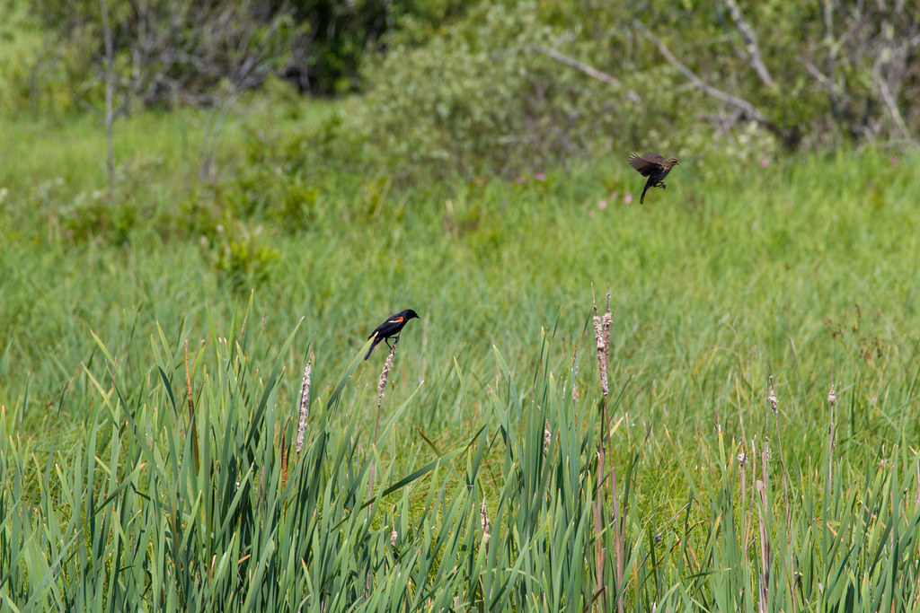 Bayside TrailHiking · ~23 min drivePhoto: Sarah and Jason, CC BY-SA 2.0 (via Flickr)
 Oyster Creek TrailHiking · ~23 min drivePhoto: Sarah and Jason, CC BY-SA 2.0 (via Flickr)
 Great Salt Bay and Hart Family Heritage TrailHiking · ~24 min drivePhoto: jmlwinder, CC BY 2.0 (via Flickr)
Best time to visit Sheepscot West Branch Trail
Best months: May–October. Best months have typical highs of 55–85 °F, lows of 30 °F or warmer (32 °F where the station doesn't record snow), at most one snowy day and no more than 12 wet days.
Jan
30° / 9°
9 wet · 6 snow
Feb
33° / 10°
8 wet · 6 snow
Mar
41° / 21°
9 wet · 4 snow
Apr
54° / 33°
10 wet · 1 snow
May
66° / 44°
12 wet
Jun
75° / 54°
12 wet
Jul
81° / 59°
11 wet
Aug
80° / 58°
10 wet
Sep
72° / 50°
9 wet
Oct
60° / 39°
11 wet
Nov
47° / 29°
10 wet · 1 snow
Dec
36° / 18°
10 wet · 4 snow
Typical high / low (°F) and days with rain or snow, 1991–2020. Measured at Gardiner, ME, 10.7 mi away at 133 ft. Source: NOAA NCEI U.S. Climate Normals 1991–2020.
Map and trail data © OpenStreetMap contributors
