Hastings Campground
Campground
Campground · 0.5 mi from the trail
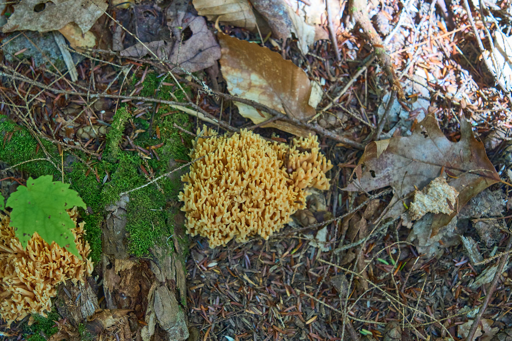 Photo: GOC53, CC BY 2.0 (via Flickr)
Caution at last check
Agency alerts are in effect for this area; weather is marginal · USFS, OpenWeather · checked 19 h ago
Closure in the area
There's a closure order in White Mountain National Forest. It doesn't name Highwater, so check the source for the area it covers (2 listed).
Wild River Fire - Androscoggin Ranger District
Agency closure covering White Mountain National Forest · USFS · White Mountain National Forest
Rattlesnake Fire – Pemigewasset Ranger District
Agency closure covering White Mountain National Forest · USFS · White Mountain National Forest
Town Hall Road Camping and Fire Restrictions
Agency alert covering White Mountain National Forest · USFS · White Mountain National Forest
Lincoln Woods Trail Closure
Agency alert covering White Mountain National Forest · USFS · White Mountain National Forest
Forest Roads Status
Agency alert covering White Mountain National Forest · USFS · White Mountain National Forest
As of · Source: USFS · White Mountain National Forest. Agencies don't list every closure — check before you go.
Highwater is a 4-mile out-and-back hike in the Androscoggin Ranger District of White Mountain National Forest in northern Maine, managed by the Forest Service. The trail is natural-surfaced and rated moderate, with a total elevation gain of 152 feet from a low of 828 feet to a high of 963 feet. The steepest stretch comes at about 0.8 miles, where the grade reaches 11 percent. Summer is the most comfortable time to go. Typical averages from a nearby weather station in Gorham, New Hampshire, show July highs around 79°F with lows near 55°F, while winter highs stay in the 20s. The Hastings Trail starts just 0.1 mile away, and Hastings Campground is about half a mile off. The Roost Trail and Caribou Trail are within about 2 miles.
Hastings Campground
Campground
Museum of White Mountain Art / Jackson Historical Society
Museum
Places © OpenStreetMap contributors
More in North ConwayBest months: May–October. Best months have typical highs of 55–85 °F, lows of 30 °F or warmer (32 °F where the station doesn't record snow), at most one snowy day and no more than 12 wet days.
Jan
27° / 6°
Feb
30° / 7°
Mar
39° / 16°
Apr
52° / 29°
May
67° / 41°
Jun
74° / 50°
Jul
79° / 55°
Aug
78° / 52°
Sep
70° / 44°
Oct
57° / 34°
Nov
44° / 25°
Dec
33° / 14°
Typical high / low (°F) and days with rain or snow, 1991–2020. Measured at Gorham Ap, NH, 10.3 mi away at 800 ft. This station doesn't record snowfall. Source: NOAA NCEI U.S. Climate Normals 1991–2020.
 Photo: GOC53, CC BY 2.0 (via Flickr)
Roost Trail
~1 min drive
2.44-mile out-and-back trail in Maine with 1,074 ft elevation gain
 Photo: Magicpiano, CC BY-SA 3.0 (via Wikimedia Commons)
Orange (Wiggin Rock) Trail
~8 min drive
0.64-mile out-and-back hike in New Hampshire with 212 ft gain.
HIKE
Haystack Notch Trail
~5 min drive
10.14-mile out-and-back trail in Maine with 1,875 ft elevation gain/loss.
 Photo: John Hayes (gravelboy), CC BY 2.0 (via Flickr)
Kenduskeag
~10 min drive
4.39-mile out-and-back trail in New Hampshire with 500 ft gain.
 Photo: Magicpiano, CC BY-SA 3.0 (via Wikimedia Commons)
Austin Brook
~9 min drive
0.36-mile out-and-back trail at Austin Brook in New Hampshire with 38 ft gain.
HIKE
East Royce
~6 min drive
East Royce is a 2.35-mile out-and-back trail in Maine with 4,218 feet of elevation gain.
Photo: John Hayes (gravelboy), CC BY 2.0 (via Flickr)Kenduskeag Trail
~11 min drive
2.36-mile out-and-back hike in New Hampshire with 1,016 ft gain and 4,005 ft max elevation.
Photo: Magicpiano, CC BY-SA 3.0 (via Wikimedia Commons)Gates Brook Trail
~10 min drive
3.56-mile out-and-back hike in New Hampshire with 822 ft elevation gain
HIKE
Wheeler Brook
~7 min drive
7-mile out-and-back trail in Maine with 1,481 ft gain
HIKE
Caribou Trail
~3 min drive
5.76-mile out-and-back trail in Maine with 1,675 ft elevation gain and loss.
