Basin Pond Campground
Campground
Campground · 3.0 mi from the trail
Closure in the area
There's a closure order in White Mountain National Forest. It doesn't name East Royce, so check the source for the area it covers (2 listed).
Wild River Fire - Androscoggin Ranger District
Agency closure covering White Mountain National Forest · USFS · White Mountain National Forest
Rattlesnake Fire – Pemigewasset Ranger District
Agency closure covering White Mountain National Forest · USFS · White Mountain National Forest
Town Hall Road Camping and Fire Restrictions
Agency alert covering White Mountain National Forest · USFS · White Mountain National Forest
Lincoln Woods Trail Closure
Agency alert covering White Mountain National Forest · USFS · White Mountain National Forest
Forest Roads Status
Agency alert covering White Mountain National Forest · USFS · White Mountain National Forest
As of · Source: USFS · White Mountain National Forest. Agencies don't list every closure — check before you go.
East Royce is a hard out-and-back hike in the Saco Ranger District of Maine's White Mountain National Forest. It starts at about 1,460 feet and climbs to a high point of 3,071 feet, with a total elevation gain of 4,259 feet on the round trip. The route is about 2.4 miles long and is marked as a natural-surface trail that allows bikes. The most comfortable time to go is summer. Typical July averages from the nearby Pinkham Notch weather station in New Hampshire run to highs around 75°F and lows near 53°F, though temperatures at the top of the climb run cooler. Winter there is harsh, with January highs typically in the mid-20s. The trip takes about three hours. The trail is not accessible, and the Forest Service manages the land. Nearby, the Spruce Hill Trail starts just 0.1 mile away, the Haystack Notch Trail is about 1.3 miles off, and the Laughing Lion Trail is roughly 0.9 mile away. For an overnight stay, Hastings Campground is about 3.2 miles away.
Basin Pond Campground
Campground
Museum of White Mountain Art / Jackson Historical Society
Museum
Places © OpenStreetMap contributors
More in North ConwayBest months: September. Best months have typical highs of 55–85 °F, lows of 30 °F or warmer (32 °F where the station doesn't record snow), at most one snowy day and no more than 12 wet days.
Jan
26° / 6°
14 wet
Feb
28° / 7°
13 wet
Mar
36° / 15°
14 wet
Apr
49° / 27°
13 wet
May
62° / 39°
15 wet
Jun
70° / 48°
14 wet
Jul
75° / 53°
14 wet
Aug
74° / 52°
13 wet
Sep
68° / 45°
12 wet
Oct
54° / 35°
14 wet
Nov
42° / 24°
14 wet
Dec
31° / 14°
16 wet
Typical high / low (°F) and days with rain or snow, 1991–2020. Measured at Pinkham Notch, NH, 13.4 mi away at 2,025 ft. The station sits about 1,000 ft lower than this place, so expect it a little cooler here. This station doesn't record snowfall. Source: NOAA NCEI U.S. Climate Normals 1991–2020.
 Photo: Me in ME, CC BY 2.0 (via Flickr)
Overlook Loop
~5 min drive
0.7-mile out-and-back trail in Maine with 283 ft elevation gain and loss.
 Photo: Paul VanDerWerf from Brunswick, Maine, USA, CC BY 2.0 (via Wikimedia Commons)
Stone House Trail
~5 min drive
1.40-mile out-and-back trail in Maine with 608 ft elevation loss
HIKE
Laughing Lion Trail
~2 min drive
1.88-mile out-and-back hike in Maine with 2,524 ft elevation gain.
HIKE
Mount Meader Spur A
~7 min drive
0.32-mile loop with 89 ft gain on Mount Meader in New Hampshire.
Photo: Me in ME, CC BY 2.0 (via Flickr)White Cairn Trail
~6 min drive
1.14-mile out-and-back trail in Maine with 405 ft elevation loss.
 Photo: GOC53, CC BY 2.0 (via Flickr)
Roost Trail
~5 min drive
2.44-mile out-and-back trail in Maine with 1,074 ft elevation gain
HIKE
Haystack Notch Trail
~2 min drive
10.14-mile out-and-back trail in Maine with 1,875 ft elevation gain/loss.
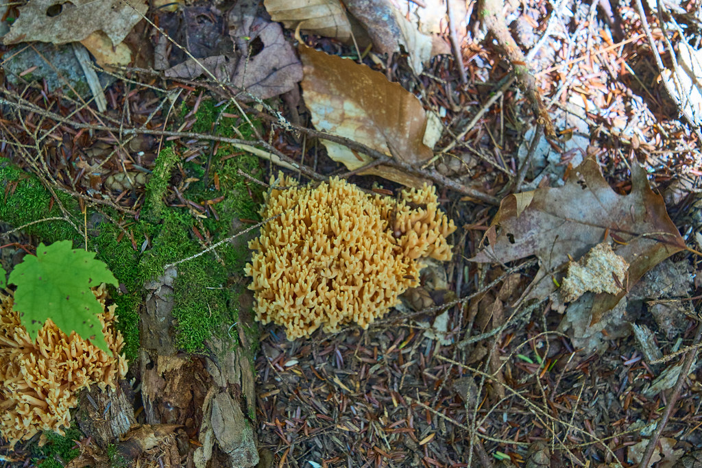 Photo: GOC53, CC BY 2.0 (via Flickr)
Hastings Trail
~6 min drive
4.34-mile out-and-back hike in Maine with 699 ft elevation gain.
Photo: GOC53, CC BY 2.0 (via Flickr)Highwater
~6 min drive
4.00-mile out-and-back trail in Maine with 1,448 ft elevation gain.
HIKE
Blueberry Ridge Trail
~3 min drive
6.20-mile out-and-back trail in Maine with 251 ft gain and 1,811 ft loss.
