Fort Point Trail
- 0.6 mi
- round trip
- 147 ft
- climb
- 109 ft
- high point
- Out and back
- route
- Jun–Oct
- best months
Fort Point Trail is a short, easy out-and-back hike in Maine, about 0.4 miles from the town of Saint George. The trail is roughly 1.2 miles long, with a total elevation gain of 147 feet, and it reaches a high point of 109 feet. The climb is back-loaded, with the steepest stretch at about 0.38 miles in, and the trail is rated easy. Summer is the most comfortable time to go. Typical averages from a nearby weather station in Tenants Harbor show July and August highs around 74°F with lows in the mid-50s, while winter highs stay in the 30s. The trip takes about half an hour. Jones Brook Trail starts just 0.1 mile away, and Town Forest Trail is about 1.2 miles off. Headlands Trail and Les Hyde Memorial Nature Trail are both about 3.8 miles away.
- Jones Brook TrailHiking0.1 mi
- Town Forest TrailHiking1.2 mi
- Headlands TrailHiking3.8 mi
- Les Hyde Memorial Nature TrailHiking3.8 mi
- Woodland TrailHiking3.8 mi
- Meadowbrook Preserve trailHiking3.9 mi
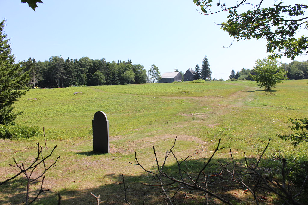 Cross Cushing TrailHikingPhoto: btwashburn, CC BY 2.0 (via Flickr)4.8 mi
- Mill Pond TrailHiking5.9 mi
Source: Roamze catalog (indexable pages within 10 miles, PostGIS distance)
- Cross Cushing TrailHiking · ~8 min drivePhoto: btwashburn, CC BY 2.0 (via Flickr)
 Blue TrailHiking · ~27 min drivePhoto: Cgg1, CC BY-SA 3.0 (via Wikimedia Commons)
- Carriage TrailHiking · ~26 min drive
 Hilton O’Connor Trail (Blue Loop)Hiking · ~19 min drivePhoto: daveyboyvt, CC BY 2.0 (via Flickr)
 Megunticook TrailHiking · ~27 min drivePhoto: GOC53, CC BY 2.0 (via Flickr)
 Harkness TrailHiking · ~21 min drivePhoto: Me in ME, CC BY 2.0 (via Flickr)
- Jack Williams TrailHiking · ~28 min drivePhoto: GOC53, CC BY 2.0 (via Flickr)
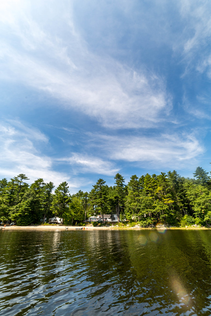 Blue TrailHiking · ~22 min drivePhoto: Sarah and Jason, CC BY-SA 2.0 (via Flickr)
- Adam's Lookout TrailHiking · ~28 min drivePhoto: GOC53, CC BY 2.0 (via Flickr)
 Oyster Creek TrailHiking · ~27 min drivePhoto: Sarah and Jason, CC BY-SA 2.0 (via Flickr)
Best time to visit Fort Point Trail
Best months: June–October. Best months have typical highs of 55–85 °F, lows of 30 °F or warmer (32 °F where the station doesn't record snow), at most one snowy day and no more than 12 wet days.
Jan
35° / 17°
11 wet
Feb
37° / 19°
10 wet
Mar
43° / 25°
12 wet
Apr
51° / 34°
12 wet
May
61° / 43°
13 wet
Jun
69° / 50°
12 wet
Jul
74° / 56°
12 wet
Aug
74° / 57°
10 wet
Sep
68° / 51°
10 wet
Oct
58° / 43°
11 wet
Nov
49° / 34°
11 wet
Dec
41° / 24°
13 wet
Typical high / low (°F) and days with rain or snow, 1991–2020. Measured at Tenants Harbor, ME, 2.3 mi away at 21 ft. This station doesn't record snowfall. Source: NOAA NCEI U.S. Climate Normals 1991–2020.
Map and trail data © OpenStreetMap contributors
