Flander's Bay Trail
- 0.8 mi
- loop
- 178 ft
- climb
- 183 ft
- high point
- Loop
- route
- Jun–Oct
- best months
Clear today
Weather is good · OpenWeather · checked just now
Flander's Bay Trail is a short loop in Maine's Taft Point area, managed by a non-governmental organization. The trail covers about 0.76 miles and rises about 178 feet from a low point of 32 feet to a high of 183 feet. The climb is back-loaded, with the steepest stretch at about 0.54 miles, a 10% grade. The route is easy to fit into a longer outing, and it sits close to the Taft Point Trail, about 0.1 mile away. Summer is the most comfortable time to go. July brings typical highs near 79°F and lows around 60°F, based on averages from a nearby weather station at Acadia National Park. Winters there are cold, with January highs typically around 33°F. The Taft Point Trail is the immediate neighbor, and the Blue Trail and White Trail lie within about 3 miles. Paddlers can reach the Day Ridges Preserve Paddler's Trail, about 3.2 miles off.
Local outfitters
- Atlantic Climbing School7 mi away
Not on Roamze yet. Their page has how to reach them.
- Taft Point TrailHiking0.1 mi
- Blue TrailHiking2.6 mi
- White TrailHiking2.8 mi
- Day Ridges Preserve Paddler's TrailCanoeing3.2 mi
- Forbes Pond TrailHiking4.1 mi
- Salt Marsh TrailHiking5 mi
 Lower Harbor TrailHikingPhoto: nightthree, CC BY 2.0 (via Flickr)5.8 mi
 The Precipice aka The South WallRock climbingPhoto: Fredlyfish4, CC BY-SA 4.0 (via Wikimedia Commons)9.1 mi
Source: Roamze catalog (indexable pages within 10 miles, PostGIS distance)
- Lower Harbor TrailHiking · ~10 min drivePhoto: nightthree, CC BY 2.0 (via Flickr)
 Schoodic Mountain TrailHiking · ~13 min drivePhoto: zappowbang, CC BY-SA 2.0 (via Flickr)
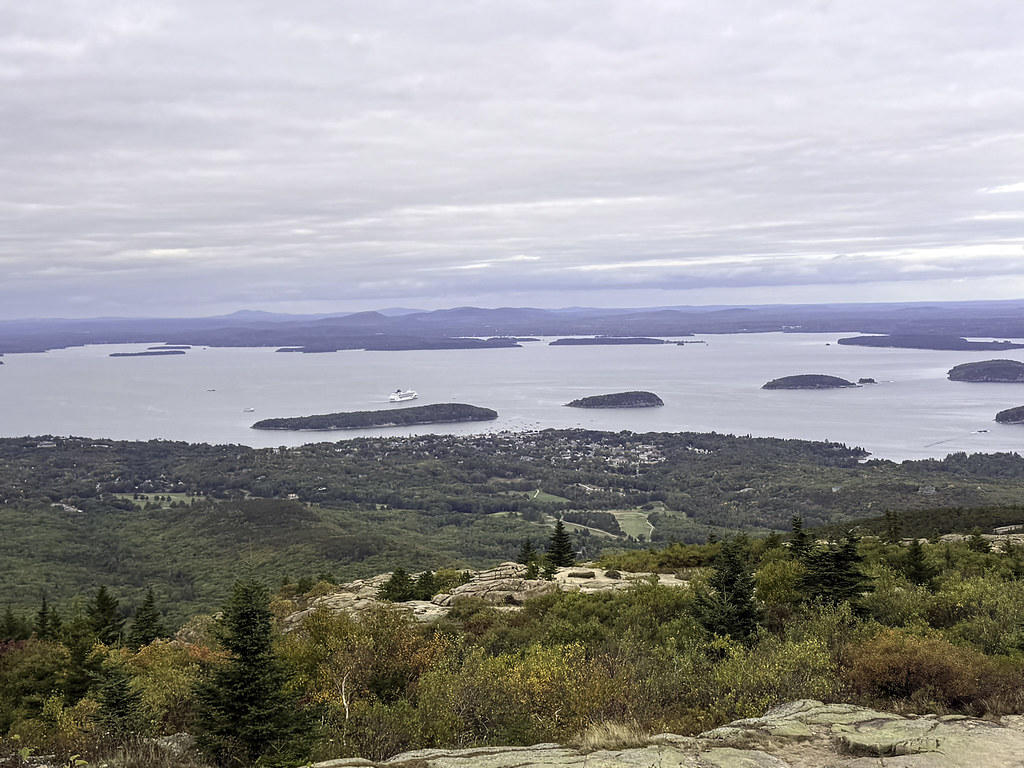 Kebo Mountain TrailHiking · ~15 min drivePhoto: Klieg, Public Domain Mark (via Flickr)
 Schoodic Woods Campground WalkwayHiking · ~11 min drivePhoto: nightthree, CC BY 2.0 (via Flickr)
 Black Cliff TrailHiking · ~14 min drivePhoto: zappowbang, CC BY-SA 2.0 (via Flickr)
 Bar Island TrailHiking · ~12 min drivePhoto: Mark Bonica, CC BY 2.0 (via Flickr)
 Buck Cove Mountain TrailHiking · ~14 min drivePhoto: Unhindered by Talent, CC BY-SA 2.0 (via Flickr)
 Shore PathHiking · ~12 min drivePhoto: Mark Bonica, CC BY 2.0 (via Flickr)
 Cadillac North Ridge TrailHiking · ~14 min drivePhoto: Tony Webster, CC BY 2.0 (via Flickr)
 Duck Brook TrailHiking · ~13 min drivePhoto: Dougtone, CC BY-SA 2.0 (via Wikimedia Commons)
Best time to visit Flander's Bay Trail
Best months: June–October. Best months have typical highs of 55–85 °F, lows of 30 °F or warmer (32 °F where the station doesn't record snow), at most one snowy day and no more than 12 wet days.
Jan
33° / 15°
12 wet
Feb
35° / 18°
10 wet
Mar
42° / 25°
12 wet
Apr
53° / 35°
12 wet
May
65° / 45°
13 wet
Jun
74° / 54°
12 wet
Jul
79° / 60°
11 wet
Aug
78° / 60°
10 wet
Sep
71° / 53°
11 wet
Oct
58° / 43°
12 wet
Nov
48° / 33°
12 wet
Dec
38° / 22°
13 wet
Typical high / low (°F) and days with rain or snow, 1991–2020. Measured at Acadia Np, ME, 9.7 mi away at 470 ft. This station doesn't record snowfall. Source: NOAA NCEI U.S. Climate Normals 1991–2020.
Map and trail data © OpenStreetMap contributors
