Shore Path
 Photo: Mark Bonica, CC BY 2.0 (via Flickr)
- 0.7 mi
- round trip
- 344 ft
- climb
- 62 ft
- high point
- Out and back
- route
- Jun–Oct
- best months
Shore Path is a short, easy out-and-back hike in Maine, about 0.3 miles from Bar Harbor. The route is 1.5 miles long, with a total elevation gain of 344 feet, and it starts and ends at about 62 feet. The climb is steady, and the steepest stretch comes early, around 0.11 miles in, with an 8% grade. Summer is the most comfortable time to go. Typical averages from a nearby weather station show July highs around 79°F with lows near 60°F, while winter highs stay in the low to mid 30s. The trip takes about half an hour, so it works well as a quick walk before or after exploring Bar Harbor. Compass Harbor Trail and Schooner Head Path are each about 0.8 miles away, and Bar Island Trail is about a mile off. Climbers can find The Precipice, also known as The South Wall, about 2.7 miles away.
Local outfitters
- Atlantic Climbing Schoolunder a mile away
Not on Roamze yet. Their page has how to reach them.
 Compass Harbor TrailHikingPhoto: w_lemay, CC BY-SA 2.0 (via Flickr)0.8 mi
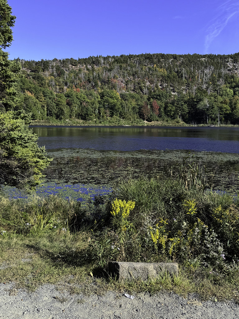 Schooner Head PathHikingPhoto: Klieg, Public Domain Mark (via Flickr)0.8 mi
 Bar Island TrailHikingPhoto: Mark Bonica, CC BY 2.0 (via Flickr)1 mi
- Kebo Brook TrailHiking1.1 mi
 The Precipice aka The South WallRock climbingPhoto: Fredlyfish4, CC BY-SA 4.0 (via Wikimedia Commons)2.7 mi
- Acadia National ParkRock climbing3.2 mi
- -MDI BoulderingRock climbing3.5 mi
 Upper Slab and Upper WallRock climbingPhoto: Fredlyfish4, CC BY-SA 4.0 (via Wikimedia Commons)4.2 mi
Source: Roamze catalog (indexable pages within 10 miles, PostGIS distance)
- Compass Harbor TrailHiking · ~1 min drivePhoto: w_lemay, CC BY-SA 2.0 (via Flickr)
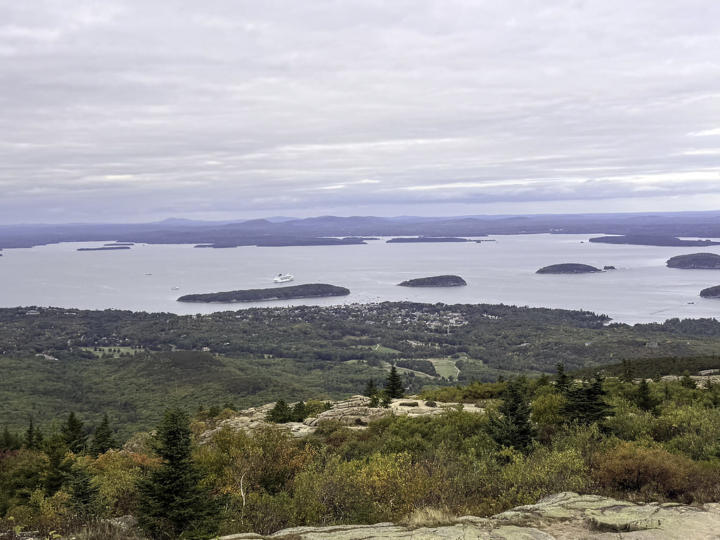 Kebo Mountain TrailHiking · ~3 min drivePhoto: Klieg, Public Domain Mark (via Flickr)
 Cadillac North Ridge TrailHiking · ~3 min drivePhoto: Tony Webster, CC BY 2.0 (via Flickr)
- Schooner Head PathHiking · ~1 min drivePhoto: Klieg, Public Domain Mark (via Flickr)
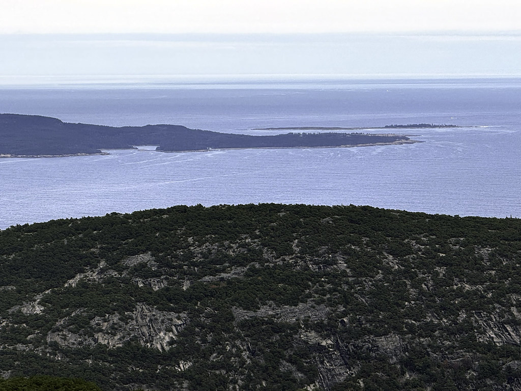 Schiff PathHiking · ~3 min drivePhoto: Klieg, Public Domain Mark (via Flickr)
- Gorge PathHiking · ~3 min drivePhoto: Klieg, Public Domain Mark (via Flickr)
- Bar Island TrailHiking · ~2 min drivePhoto: Mark Bonica, CC BY 2.0 (via Flickr)
 Cadillac-DorrHiking · ~4 min drivePhoto: Idawriter, CC BY-SA 3.0 (via Wikimedia Commons)
 Beachcroft PathHiking · ~3 min drivePhoto: Klieg, Public Domain Mark (via Flickr)
 Great Meadow LoopHiking · ~2 min drivePhoto: Andrew Turner, CC BY 2.0 (via Flickr)
Also worth it near here
- Beaver Dam PondLake fishing · ~3 min drive
- Eagle Lake Boat LaunchBoat launch · ~4 min drive
- The Precipice aka The South WallRock climbing · ~5 min drivePhoto: Fredlyfish4, CC BY-SA 4.0 (via Wikimedia Commons)
 Cadillac MountainSummit · ~5 min drivePhoto: The original uploader was NightThree at English Wikipedia., CC BY 2.0 (via Wikimedia Commons)
Best time to visit Shore Path
Best months: June–October. Best months have typical highs of 55–85 °F, lows of 30 °F or warmer (32 °F where the station doesn't record snow), at most one snowy day and no more than 12 wet days.
Jan
33° / 15°
12 wet
Feb
35° / 18°
10 wet
Mar
42° / 25°
12 wet
Apr
53° / 35°
12 wet
May
65° / 45°
13 wet
Jun
74° / 54°
12 wet
Jul
79° / 60°
11 wet
Aug
78° / 60°
10 wet
Sep
71° / 53°
11 wet
Oct
58° / 43°
12 wet
Nov
48° / 33°
12 wet
Dec
38° / 22°
13 wet
Typical high / low (°F) and days with rain or snow, 1991–2020. Measured at Acadia Np, ME, 3.1 mi away at 470 ft. This station doesn't record snowfall. Source: NOAA NCEI U.S. Climate Normals 1991–2020.
Map and trail data © OpenStreetMap contributors
