Fields Trail
- 0.8 mi
- round trip
- 256 ft
- climb
- 67 ft
- high point
- Out and back
- route
- Jul–Oct
- best months
Fields Trail is a short, easy out-and-back hike in Maine, about a mile from the village of Broad Cove. The route is roughly 1.5 miles long, with a total elevation gain of about 40 feet, so it's a gentle walk that can be done in a single outing. The trail starts at an elevation of about 55 feet and reaches a high point of about 67 feet. The steepest stretch comes early on, around the quarter-mile mark, where the grade reaches about 11 percent. That makes the trail easy to manage, and the low elevation gain means it works well as a quick stop or a warm-up before heading to other nearby trails. Summer is the most comfortable time to go. Typical averages from a nearby weather station in Newcastle show July highs around 78°F with lows near 60°F, while winter brings highs in the 30s and regular snow days from December through February. Several other trails sit close by. Marsh is about 0.1 mile away, and Walmarsh Woods Loop is about 0.3 mile away. The Hilton O’Connor Trail (Blue Loop) is about 2.4 miles off, and paddlers can find Wawenock Ahwangan about 6.5 miles away.
- MarshHiking0.1 mi
- Walmarsh Woods LoopHiking0.3 mi
 Hilton O’Connor Trail (Blue Loop)HikingPhoto: daveyboyvt, CC BY 2.0 (via Flickr)2.4 mi
- Blue TrailHiking2.8 mi
- Orange TrailHiking2.8 mi
- Mill Pond TrailHiking4.1 mi
- Wawenock AhwanganCanoeing6.5 mi
- Dodge PointRock climbing9 mi
Source: Roamze catalog (indexable pages within 10 miles, PostGIS distance)
- Hilton O’Connor Trail (Blue Loop)Hiking · ~4 min drivePhoto: daveyboyvt, CC BY 2.0 (via Flickr)
 Blue TrailHiking · ~15 min drivePhoto: Cgg1, CC BY-SA 3.0 (via Wikimedia Commons)
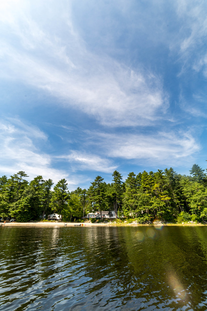 Blue TrailHiking · ~5 min drivePhoto: Sarah and Jason, CC BY-SA 2.0 (via Flickr)
- Blue TrailHiking · ~5 min drive
 Oyster Creek TrailHiking · ~10 min drivePhoto: Sarah and Jason, CC BY-SA 2.0 (via Flickr)
- Shore TrailHiking · ~15 min drive
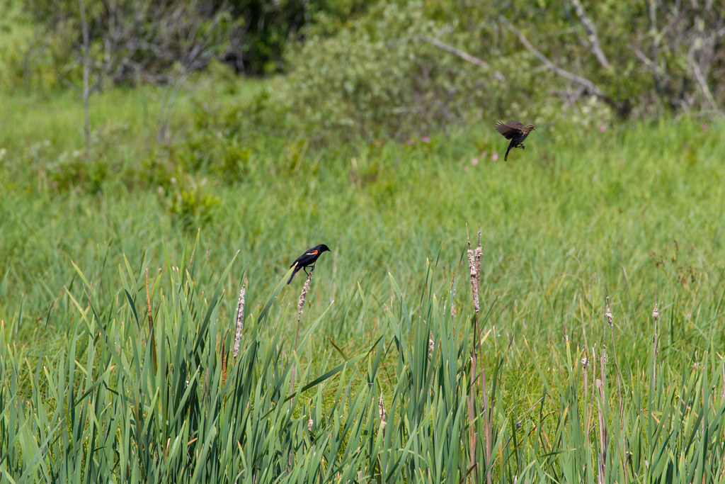 Bayside TrailHiking · ~10 min drivePhoto: Sarah and Jason, CC BY-SA 2.0 (via Flickr)
 Great Salt Bay and Hart Family Heritage TrailHiking · ~11 min drivePhoto: jmlwinder, CC BY 2.0 (via Flickr)
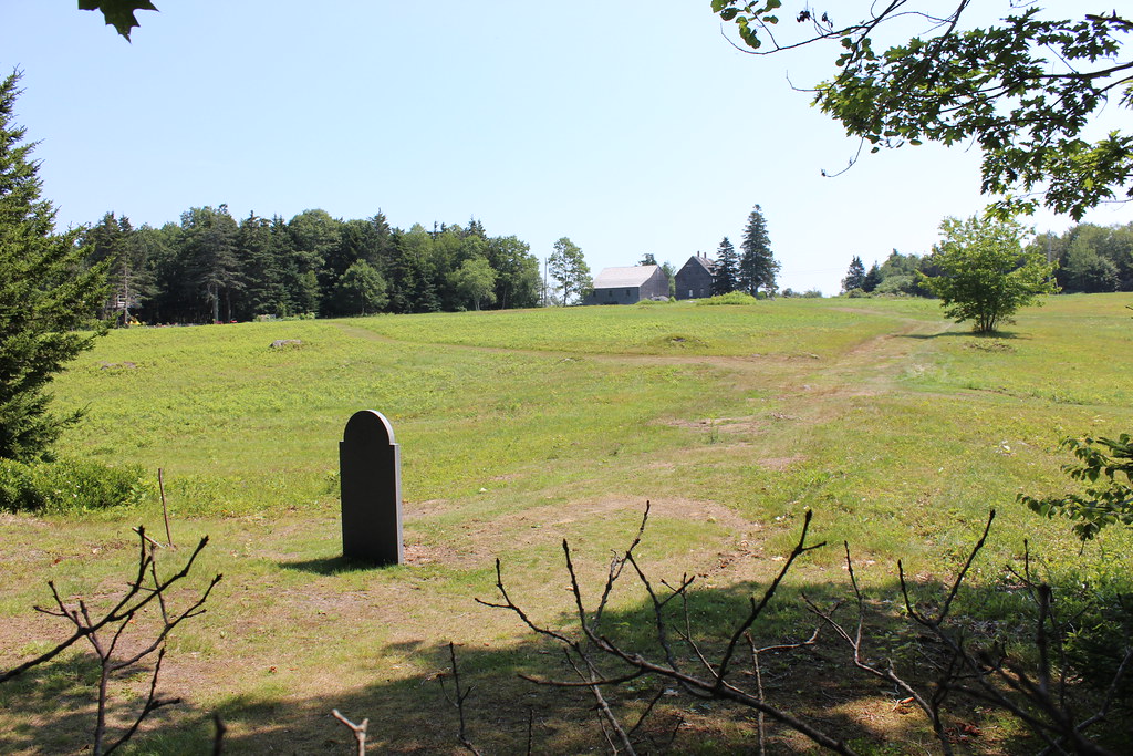 Cross Cushing TrailHiking · ~12 min drivePhoto: btwashburn, CC BY 2.0 (via Flickr)
 Cross Country TrailsHiking · ~12 min drivePhoto: jmlwinder, CC BY 2.0 (via Flickr)
Best time to visit Fields Trail
Best months: July–October. Best months have typical highs of 55–85 °F, lows of 30 °F or warmer (32 °F where the station doesn't record snow), at most one snowy day and no more than 12 wet days.
Jan
30° / 15°
12 wet · 10 snow
Feb
33° / 17°
11 wet · 8 snow
Mar
41° / 25°
11 wet · 7 snow
Apr
53° / 35°
12 wet · 2 snow
May
65° / 45°
14 wet
Jun
73° / 54°
13 wet
Jul
78° / 60°
12 wet
Aug
77° / 59°
10 wet
Sep
69° / 52°
10 wet
Oct
57° / 42°
12 wet
Nov
46° / 32°
12 wet · 3 snow
Dec
36° / 22°
13 wet · 7 snow
Typical high / low (°F) and days with rain or snow, 1991–2020. Measured at Newcastle, ME, 7.1 mi away at 213 ft. Source: NOAA NCEI U.S. Climate Normals 1991–2020.
Map and trail data © OpenStreetMap contributors
