Village Médiéval
- May–Jun, Aug–Sep
- best months
- At 1,929 ft
Village Médiéval is a campground in Maine at about 1,929 feet.
- Ski de montagneSki touring0.2 mi
- AscensionSki touring0.5 mi
 Sentier Des PasserellesHikingPhoto: sambouchard418, CC BY-SA 2.0 (via Flickr)1 mi
- Sentier De La TraverséeHikingPhoto: sambouchard418, CC BY-SA 2.0 (via Flickr)1 mi
 Sentier Des RavagesHikingPhoto: Pierre-Arnaud KOPP from REIGNIER, France, CC BY 2.0 (via Wikimedia Commons)1.1 mi
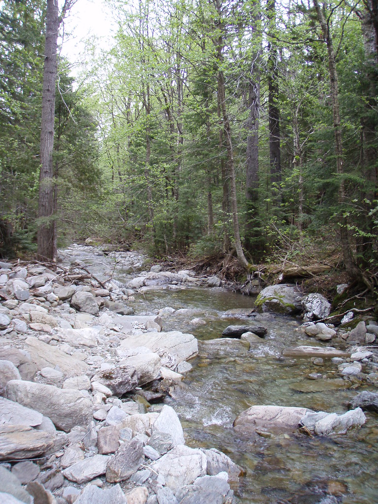 Sentier Des ParoisHikingPhoto: sambouchard418, CC BY-SA 2.0 (via Flickr)1.2 mi
- Sentier De La Crête Des GrivesHiking1.3 mi
- Sentier Du Mont-ChocolatHikingPhoto: Pierre-Arnaud KOPP from REIGNIER, France, CC BY 2.0 (via Wikimedia Commons)1.3 mi
Source: Roamze catalog (indexable pages within 10 miles, PostGIS distance)
- Secteur BeaudoinCamping · Next door
- Refuge du MilieuHut camping · ~2 min drive
- Secteur des MerisiersCamping · Next door
- Mini-Pod BucklandHut camping · ~2 min drive
- Secteur des PeupliersCamping · ~2 min drive
- Mini-Pod Saint-PhilémonHut camping · ~2 min drive
- Secteur du BassinCamping · ~2 min drive
- Méga-Pod Saint-MagloireHut camping · ~2 min drive
- Secteur des ÉrablesCamping · ~2 min drive
- Refuge des PasserellesHut camping · ~2 min drive
Also worth it near here
Best time to visit Village Médiéval
Best months: May–June and August–September. Best months have typical highs of 55–85 °F, lows of 30 °F or warmer (32 °F where the station doesn't record snow), at most one snowy day and no more than 12 wet days.
Jan
20° / -4°
10 wet
Feb
23° / -4°
9 wet
Mar
34° / 7°
9 wet
Apr
46° / 25°
10 wet
May
61° / 37°
11 wet
Jun
71° / 47°
12 wet
Jul
76° / 52°
13 wet
Aug
74° / 50°
10 wet
Sep
66° / 41°
10 wet
Oct
51° / 31°
12 wet
Nov
38° / 22°
11 wet
Dec
26° / 7°
11 wet
Typical high / low (°F) and days with rain or snow, 1991–2020. Measured at Clayton Lake, ME, 43.9 mi away at 1,000 ft. The station sits about 900 ft lower than this place, so expect it a little cooler here. This station doesn't record snowfall. Source: NOAA NCEI U.S. Climate Normals 1991–2020.

Map and trail data © OpenStreetMap contributors
