Wild Azalea Trail
- 3.8 mi
- one way
- 197 ft
- climb
- 206 ft
- high point
- Point to point
- route
- Oct–May
- best months
Is Wild Azalea Trail open right now?
Alert in the area
The Forest Service lists an alert for Kisatchie National Forest.
Enduro Multiple-Use Trail Closure
Agency alert covering Kisatchie National Forest · Order 08-06-05-25-01 · USFS · Kisatchie National Forest
As of · Source: USFS · Kisatchie National Forest. Agencies don't list every closure — check before you go.
Wild Azalea Trail is an easy hike of about 3.75 miles in the Calcasieu Ranger District of Kisatchie National Forest in Louisiana. The Forest Service manages the surrounding land, and the trail runs from a low point of about 100 feet to a high of about 206 feet, with a total climb of 197 feet and a total descent of 305 feet. It is a point-to-point route, not a loop. Spring and fall are the most comfortable times to go. Typical averages from a nearby weather station show October highs around 80°F with lows near 55°F, while July and August average highs in the low 90s. The route is rated easy, and the climb is gentle, with the steepest stretch at about 1.1 miles at a 7% grade. Bikes are allowed, but horses are not. Evangeline Unit, a lake fishing spot, sits just 0.2 miles away, and the Wild Azalea Spur and Lamotte Creek hikes are each about 1.6 miles off. Kincaid Campground, about 2.1 miles away, offers a place to camp.
- Evangeline UnitLake fishing0.2 mi
- Wild Azalea SpurHiking1.3 mi
- Wild AzaleaHiking1.6 mi
- Lamotte CreekHiking1.6 mi
 Kincaid CampgroundCampingPhoto: md. childress, CC BY 3.0 (via Wikimedia Commons)2.1 mi
- Valentine Lake Rec AreaCampingPhoto: md. childress, CC BY 3.0 (via Wikimedia Commons)4.3 mi
- Bayou RapidesCanoeing9.1 mi
- Loran SiteCamping9.7 mi
Source: Roamze catalog (indexable pages within 10 miles, PostGIS distance)
 Longleaf Vista TrailHiking · ~49 min drivePhoto: US Forest Service - Southern Region, Public Domain Mark (via Flickr)
- Wild AzaleaHiking · ~3 min drive
- Lamotte CreekHiking · ~3 min drive
 East Landing to South Landing TrailHiking · ~1h 3m drivePhoto: Editor B, CC BY 2.0 (via Flickr)
- LakeshoreHiking · ~4 min drive
- Glenn Emery MemorialHiking · ~39 min drive
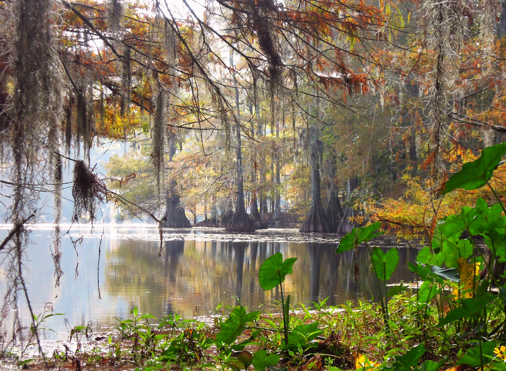 East Landing to South Landing TrailHiking · ~1h 5m drivePhoto: jillian.e, CC BY 2.0 (via Flickr)
- Caroline DormonHiking · ~50 min drive
- Turpentine Hill TrailHiking · ~49 min drive
- East Landing to South Landing TrailHiking · ~1h 5m drivePhoto: jillian.e, CC BY 2.0 (via Flickr)
Best time to visit Wild Azalea Trail
Best months: October–May. Best months have typical highs of 55–85 °F, lows of 30 °F or warmer (32 °F where the station doesn't record snow), at most one snowy day and no more than 12 wet days.
Jan
60° / 39°
11 wet
Feb
64° / 42°
11 wet
Mar
71° / 49°
11 wet
Apr
78° / 55°
9 wet
May
85° / 64°
9 wet
Jun
90° / 71°
11 wet
Jul
93° / 73°
11 wet
Aug
93° / 72°
10 wet
Sep
89° / 67°
9 wet
Oct
80° / 55°
9 wet
Nov
69° / 45°
9 wet
Dec
61° / 41°
11 wet
Typical high / low (°F) and days with rain or snow, 1991–2020. Measured at Alexandria Intl Ap, LA, 7.5 mi away at 84 ft. This station doesn't record snowfall. Source: NOAA NCEI U.S. Climate Normals 1991–2020.
Map and trail data © OpenStreetMap contributors
