Hog Back Ridge
- 0.6 mi
- loop
- 11 ft
- climb
- 304 ft
- high point
- Loop
- route
- Oct–Apr
- best months
Is Hog Back Ridge open right now?
Alert in the area
The Forest Service lists an alert for Kisatchie National Forest.
Enduro Multiple-Use Trail Closure
Agency alert covering Kisatchie National Forest · Order 08-06-05-25-01 · USFS · Kisatchie National Forest
As of · Source: USFS · Kisatchie National Forest. Agencies don't list every closure — check before you go.
Hog Back Ridge is a short loop hike of about 0.6 miles in Louisiana's Kisatchie National Forest, within the Calcasieu Ranger District. It's a low-effort outing, with a total elevation gain of just 11 feet and a difficulty rating of easy. The Forest Service manages the land, and the trail's natural surface makes it suitable for hikers, cyclists and horseback riders. The route loops back on itself, and the climb is gentle. The highest point on the loop is 304 feet, with the steepest grade of 9% coming about a third of the way through the hike. That makes the trail an easy add-on to a day on the forest, and its short length means it fits into a longer outing with little time or planning. Spring and fall are the most comfortable times to go. Typical averages from a nearby weather station at Fullerton show April highs around 79°F and October highs near 81°F, while July and August average highs in the low 90s. Nearby, Big Branch is a hike about 3.6 miles away, and Fullerton Rec Area offers camping about 4 miles off. Fullerton Lake and the paddling on Whisky Chitto Creek sit about 4 miles out.
- Big BranchHiking3.6 mi
- Fullerton Rec AreaCamping4 mi
- Whisky Chitto CreekCanoeing4.1 mi
- Fullerton LakeHiking4.3 mi
- East Fork Sixmile CreekCanoeing4.5 mi
- Wild TurkeyHiking5.8 mi
- Ol' SargeHiking7.1 mi
- Sixmile CreekCanoeing9.6 mi
Source: Roamze catalog (indexable pages within 10 miles, PostGIS distance)
 Longleaf Vista TrailHiking · ~53 min drivePhoto: US Forest Service - Southern Region, Public Domain Mark (via Flickr)
- Big BranchHiking · ~6 min drive
- Lamotte CreekHiking · ~50 min drive
 East Landing to South Landing TrailHiking · ~1h 24m drivePhoto: Editor B, CC BY 2.0 (via Flickr)
- Caroline DormonHiking · ~48 min drive
- KincaidHiking · ~52 min drive
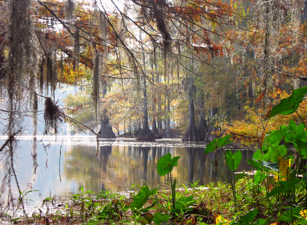 East Landing to South Landing TrailHiking · ~1h 25m drivePhoto: jillian.e, CC BY 2.0 (via Flickr)
- Wild AzaleaHiking · ~49 min drive
- Turpentine Hill TrailHiking · ~54 min drive
- East Landing to South Landing TrailHiking · ~1h 26m drivePhoto: jillian.e, CC BY 2.0 (via Flickr)
Best time to visit Hog Back Ridge
Best months: October–April. Best months have typical highs of 55–85 °F, lows of 30 °F or warmer (32 °F where the station doesn't record snow), at most one snowy day and no more than 12 wet days.
Jan
62° / 40°
Feb
65° / 43°
Mar
72° / 49°
Apr
79° / 56°
May
86° / 64°
Jun
91° / 71°
Jul
93° / 73°
Aug
93° / 72°
Sep
89° / 67°
Oct
81° / 57°
Nov
70° / 46°
Dec
62° / 41°
Typical high / low (°F) and days with rain or snow, 1991–2020. Measured at Ft Polk Fullerton Lndg Strip, LA, 9.6 mi away at 310 ft. This station doesn't record snowfall. Source: NOAA NCEI U.S. Climate Normals 1991–2020.

