Sugar Run Trail
- 2.0 mi
- round trip
- 1,477 ft
- climb
- 2,309 ft
- high point
- Out and back
- route
- Aug–Nov
- best months
Is Sugar Run Trail open right now?
No closures listed
The National Park Service lists no closures for Cumberland Gap National Historical Park.
As of · Source: NPS · Cumberland Gap National Historical Park. Agencies don't list every closure — check before you go.
Sugar Run Trail is a 3.98-mile out-and-back trail in Kentucky with 1,477 feet of elevation gain and loss. The trail reaches a maximum elevation of 2,309 feet.
- Sugar Run Picnic TrailHiking0.3 mi
 Thomas Walker TrailHikingPhoto: w_lemay, CC BY-SA 2.0 (via Flickr)1.5 mi
- Object Lesson RoadHikingPhoto: w_lemay, CC BY-SA 2.0 (via Flickr)1.5 mi
- Ft. McCook TrailHikingPhoto: w_lemay, CC BY-SA 2.0 (via Flickr)1.8 mi
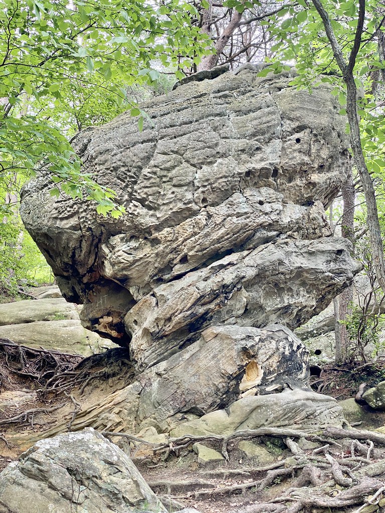 Pinnacle Overlook TrailHikingPhoto: w_lemay, CC BY-SA 2.0 (via Flickr)1.8 mi
 Wilderness Road TrailHikingPhoto: w_lemay, CC BY-SA 2.0 (via Flickr)1.8 mi
- Harlan Road TrailHikingPhoto: w_lemay, CC BY-SA 2.0 (via Flickr)1.8 mi
 Fort Lyon TrailHikingPhoto: w_lemay, CC BY-SA 2.0 (via Flickr)1.8 mi
Source: Roamze catalog (indexable pages within 10 miles, PostGIS distance)
- Thomas Walker TrailHiking · ~3 min drivePhoto: w_lemay, CC BY-SA 2.0 (via Flickr)
- Ft. McCook TrailHiking · ~3 min drivePhoto: w_lemay, CC BY-SA 2.0 (via Flickr)
- Ridge TrailHiking · ~5 min drive
- Lewis Hollow TrailHiking · ~5 min drive
- Object Lesson RoadHiking · ~3 min drivePhoto: w_lemay, CC BY-SA 2.0 (via Flickr)
- Boone TrailHiking · ~4 min drive
- Shillalah Creek TrailHiking · ~10 min drive
- Pinnacle Overlook TrailHiking · ~3 min drivePhoto: w_lemay, CC BY-SA 2.0 (via Flickr)
- Wilderness Road Rails to TrailsHiking · ~6 min drive
- Wilderness Road TrailHiking · ~3 min drivePhoto: w_lemay, CC BY-SA 2.0 (via Flickr)
Best time to visit Sugar Run Trail
Best months: August–November. Best months have typical highs of 55–85 °F, lows of 30 °F or warmer (32 °F where the station doesn't record snow), at most one snowy day and no more than 12 wet days.
Jan
44° / 23°
14 wet · 2 snow
Feb
48° / 26°
13 wet · 2 snow
Mar
57° / 31°
14 wet · 1 snow
Apr
67° / 40°
13 wet
May
75° / 50°
13 wet
Jun
82° / 59°
13 wet
Jul
85° / 63°
13 wet
Aug
84° / 62°
11 wet
Sep
79° / 55°
10 wet
Oct
69° / 41°
10 wet
Nov
57° / 31°
11 wet
Dec
47° / 26°
14 wet · 1 snow
Typical high / low (°F) and days with rain or snow, 1991–2020. Measured at Tazewell, TN, 13.1 mi away at 1,365 ft. The station sits about 900 ft lower than this place, so expect it a little cooler here. Source: NOAA NCEI U.S. Climate Normals 1991–2020.
Closures we've recorded since August 2026
Visitor Center, Sugar Run, and Bartlett Park restrooms closed
Cumberland Gap National Historical Park · seen Sep 15, 2026 → lifted Sep 15, 2026 · National Park Service
Map and trail data © OpenStreetMap contributors
