Stable Trail
- 1.8 mi
- loop
- 545 ft
- climb
- 625 ft
- high point
- Loop
- route
- Mar–Apr, Sep–Nov
- best months
Stable Trail is a 1.8-mile loop hike in Lake Barkley State Resort Park in Kentucky, managed by State Park and Recreation. The trail is rated easy, with a total climb of 545 feet and a rolling profile that brings you from about 611 feet to a high of 625 feet before returning to the starting point. The steepest stretch comes at about 1.6 miles, with a grade of 9 percent. Spring and fall are the most comfortable times to go. Typical averages from a nearby weather station at Kenlake Resort show October highs around 71°F with lows near 50°F, and April is similar at about 71°F by day and 48°F at night. July and August average highs near 90°F. The Wilderness Trail lies about 0.8 miles away, and Cadiz campground is about 4 miles off. Energy Lake Loop 1 and Taylor Bay Campground are both within about 7 miles.
 Wilderness TrailHikingPhoto: LandBetweentheLakesKYTN, Public Domain Mark (via Flickr)0.8 mi
- CadizCamping4.1 mi
 Energy Lake Loop 1HikingPhoto: LandBetweentheLakesKYTN, Public Domain Mark (via Flickr)5.7 mi
- Taylor Bay CampgroundCamping6.6 mi
- LBL-Wranglers Campground TrailHiking6.9 mi
 Honker TrailHikingPhoto: Bas van Oorschot, CC BY-SA 3.0 (via Wikimedia Commons)8 mi
- Woodland WalkHiking8 mi
- North / South Trail ConnectorHikingPhoto: Bas van Oorschot, CC BY-SA 3.0 (via Wikimedia Commons)8.1 mi
Source: Roamze catalog (indexable pages within 10 miles, PostGIS distance)
- Wilderness TrailHiking · ~1 min drivePhoto: LandBetweentheLakesKYTN, Public Domain Mark (via Flickr)
- Honker TrailHiking · ~14 min drivePhoto: Bas van Oorschot, CC BY-SA 3.0 (via Wikimedia Commons)
- LBL-Wranglers Campground TrailHiking · ~12 min drive
- Energy Lake Loop 1Hiking · ~10 min drivePhoto: LandBetweentheLakesKYTN, Public Domain Mark (via Flickr)
 Hematite TrailHiking · ~14 min drivePhoto: Bas van Oorschot, CC BY-SA 3.0 (via Wikimedia Commons)
- Wild Bill HickockHiking · ~18 min drive
- North / South Trail ConnectorHiking · ~14 min drivePhoto: Bas van Oorschot, CC BY-SA 3.0 (via Wikimedia Commons)
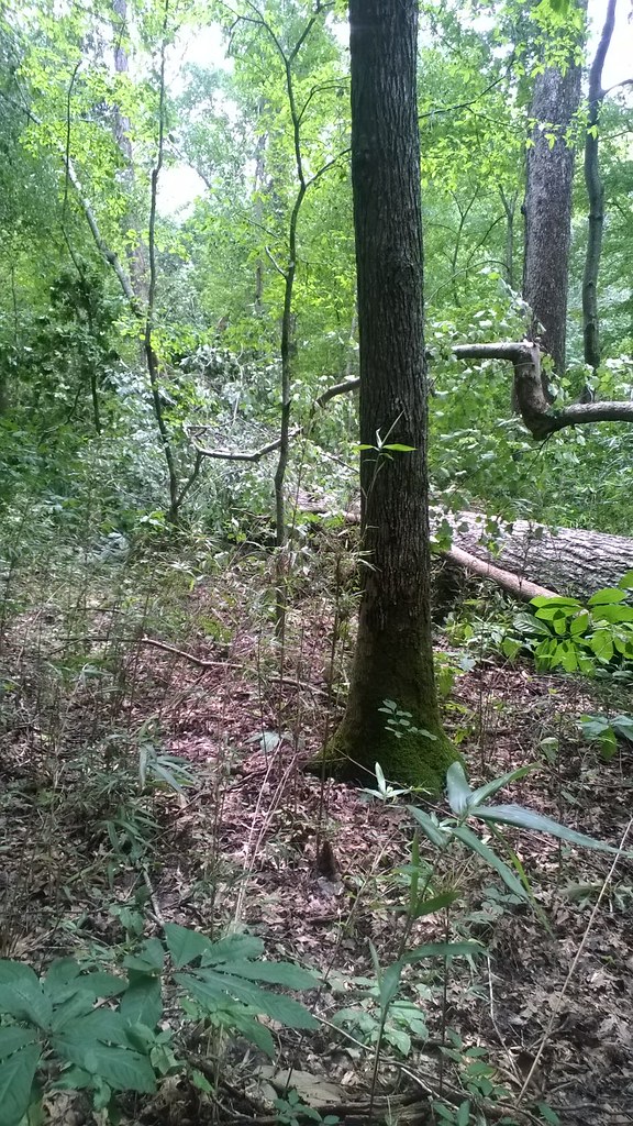 North/South TrailHiking · ~19 min drivePhoto: LandBetweentheLakesKYTN, Public Domain Mark (via Flickr)
- Hematite TrailHiking · ~15 min drivePhoto: Bas van Oorschot, CC BY-SA 3.0 (via Wikimedia Commons)
 North/South TrailHiking · ~20 min drivePhoto: LandBetweentheLakesKYTN, Public Domain Mark (via Flickr)
Also worth it near here
- Lake Barkley State ParkLake fishing · ~1 min drive
- Energy Dam Day Use Area and Boat Ramps at Land Between The LakesBoat launch · ~10 min drive
 Bacon Creek Primitive Horse CampCamping · ~13 min drivePhoto: jdj150 from Jamestown, TN, USA, CC BY 2.0 (via Wikimedia Commons)
- Kenady CreekCanoeing · ~18 min drive
Best time to visit Stable Trail
Best months: March–April and September–November. Best months have typical highs of 55–85 °F, lows of 30 °F or warmer (32 °F where the station doesn't record snow), at most one snowy day and no more than 12 wet days.
Jan
45° / 27°
11 wet
Feb
50° / 31°
10 wet
Mar
60° / 40°
12 wet
Apr
71° / 48°
12 wet
May
79° / 57°
13 wet
Jun
86° / 66°
10 wet
Jul
90° / 70°
9 wet
Aug
90° / 69°
9 wet
Sep
83° / 62°
8 wet
Oct
71° / 50°
9 wet
Nov
59° / 39°
10 wet
Dec
48° / 32°
11 wet
Typical high / low (°F) and days with rain or snow, 1991–2020. Measured at Kenlake Resort, KY, 13.9 mi away at 484 ft. This station doesn't record snowfall. Source: NOAA NCEI U.S. Climate Normals 1991–2020.
Map and trail data © OpenStreetMap contributors
