North/South Trail
 Photo: LandBetweentheLakesKYTN, Public Domain Mark (via Flickr)
- 3.3 mi
- round trip
- 2,085 ft
- climb
- 549 ft
- high point
- Out and back
- route
- Mar–Apr, Sep–Nov
- best months
Clear at last check
Weather is good · OpenWeather · checked 21 h ago
North/South Trail is a 3.27-mile moderate hike in Land Between the Lakes National Recreation Area in Kentucky, managed by the Forest Service. The trail is an out-and-back route that starts at about 481 feet and reaches a high point of 549 feet, with a total climb of 2,085 feet over the round trip. The steepest stretch comes at about 1.2 miles in, where the grade reaches 12 percent. Spring and fall are the most comfortable times to go. Typical averages from a nearby weather station at Kenlake Resort show October highs around 71°F with lows near 50°F, and April is similar at about 71°F by day and 48°F at night. July and August average highs near 90°F. Sugar Bay Campground sits just 0.7 miles away, and Sugar Jack Spring is about 2.3 miles off. Dead Beaver Spring is roughly 2.9 miles away, and Smith Bay Campground is about 4.7 miles away.
 Sugar Bay CampgroundCampingPhoto: Bas van Oorschot, CC BY-SA 3.0 (via Wikimedia Commons)0.7 mi
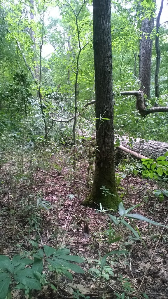 Sugar Jack SpringHikingPhoto: LandBetweentheLakesKYTN, Public Domain Mark (via Flickr)2.3 mi
- Dead Beaver SpringHiking2.9 mi
- Brush Arbor CampHiking4.3 mi
- Smith Bay CampgroundCamping4.7 mi
 Fenton Lake CampgroundCampingPhoto: Shannon McGee from Huntsville, USA, CC BY-SA 2.0 (via Wikimedia Commons)5 mi
- Birmingham Ferry CampgroundCamping6 mi
- Taylor Bay CampgroundCamping6.2 mi
Source: Roamze catalog (indexable pages within 10 miles, PostGIS distance)
- North/South TrailHiking · ~4 min drivePhoto: LandBetweentheLakesKYTN, Public Domain Mark (via Flickr)
- Sugar Jack SpringHiking · ~4 min drivePhoto: LandBetweentheLakesKYTN, Public Domain Mark (via Flickr)
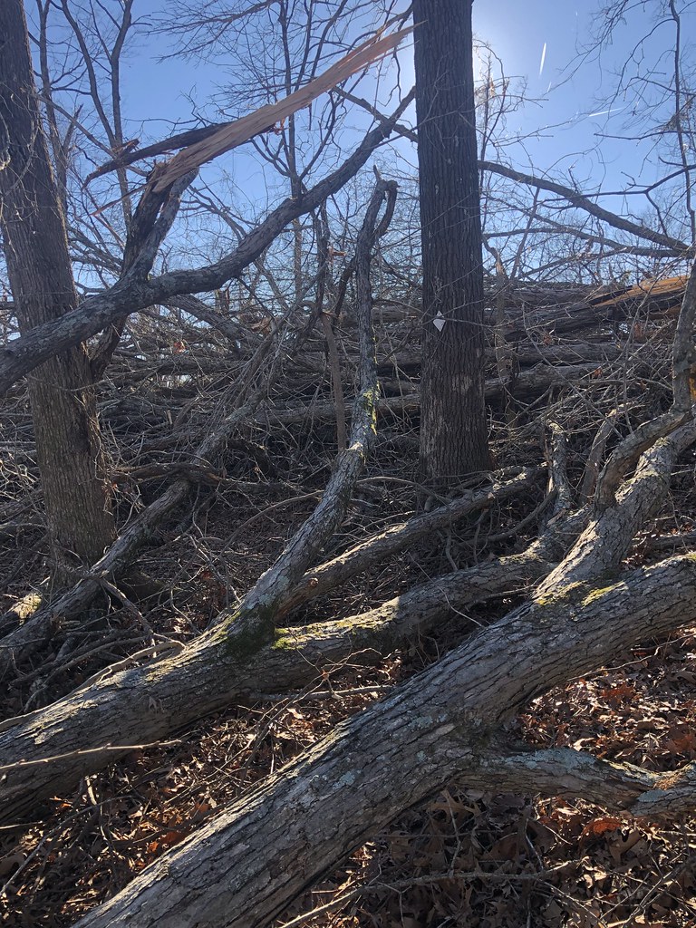 North/South TrailHiking · ~14 min drivePhoto: LandBetweentheLakesKYTN, Public Domain Mark (via Flickr)
 North/South TrailHiking · ~7 min drivePhoto: LandBetweentheLakesKYTN, Public Domain Mark (via Flickr)
- North/South TrailHiking · ~8 min drivePhoto: LandBetweentheLakesKYTN, Public Domain Mark (via Flickr)
- CENTRAL HARDWOODS SCENIC TRAILHiking · ~8 min drive
- Hematite TrailHiking · ~10 min drivePhoto: Bas van Oorschot, CC BY-SA 3.0 (via Wikimedia Commons)
- Hematite TrailHiking · ~8 min drivePhoto: Bas van Oorschot, CC BY-SA 3.0 (via Wikimedia Commons)
- LBL-Wranglers Campground TrailHiking · ~14 min drive
 Honker TrailHiking · ~10 min drivePhoto: Bas van Oorschot, CC BY-SA 3.0 (via Wikimedia Commons)
Best time to visit North/South Trail
Best months: March–April and September–November. Best months have typical highs of 55–85 °F, lows of 30 °F or warmer (32 °F where the station doesn't record snow), at most one snowy day and no more than 12 wet days.
Jan
45° / 27°
11 wet
Feb
50° / 31°
10 wet
Mar
60° / 40°
12 wet
Apr
71° / 48°
12 wet
May
79° / 57°
13 wet
Jun
86° / 66°
10 wet
Jul
90° / 70°
9 wet
Aug
90° / 69°
9 wet
Sep
83° / 62°
8 wet
Oct
71° / 50°
9 wet
Nov
59° / 39°
10 wet
Dec
48° / 32°
11 wet
Typical high / low (°F) and days with rain or snow, 1991–2020. Measured at Kenlake Resort, KY, 6 mi away at 484 ft. This station doesn't record snowfall. Source: NOAA NCEI U.S. Climate Normals 1991–2020.
Map and trail data © OpenStreetMap contributors
