North / South Trail Connector
 Photo: Bas van Oorschot, CC BY-SA 3.0 (via Wikimedia Commons)
- 0.6 mi
- round trip
- 232 ft
- climb
- 467 ft
- high point
- Out and back
- route
- Sep–Nov
- best months
The North / South Trail Connector is a short, easy out-and-back hike in Land Between the Lakes National Recreation Area in Kentucky, managed by the Forest Service. The route is about 1.2 miles long, with a total elevation gain of 232 feet, and it is rated easy. The climb is front-loaded, with the steepest stretch at about 0.24 miles in, where the grade reaches 7 percent. The high point is 467 feet, and the trail returns to the starting elevation of 383 feet. The round trip takes about half an hour. Spring and fall are the most comfortable times to go. Typical averages from a nearby weather station in Eddyville show October highs around 74°F with lows near 52°F, and April highs around 72°F. Summer highs typically reach about 90°F. The Honker Trail starts just 0.1 mile away, and the Woodland Walk and Hematite Trail are within a third of a mile. For an overnight stay, Taylor Bay Campground is about 1.7 miles off.
- Honker TrailHikingPhoto: Bas van Oorschot, CC BY-SA 3.0 (via Wikimedia Commons)0.1 mi
- Woodland WalkHiking0.2 mi
 Hematite TrailHikingPhoto: Bas van Oorschot, CC BY-SA 3.0 (via Wikimedia Commons)0.3 mi
- NATURE STATION CONNECTORHiking1.4 mi
- Taylor Bay CampgroundCamping1.7 mi
- Cravens Bay CampgroundCampingPhoto: Bas van Oorschot, CC BY-SA 3.0 (via Wikimedia Commons)4.2 mi
- Sugar Bay CampgroundCampingPhoto: Bas van Oorschot, CC BY-SA 3.0 (via Wikimedia Commons)5.8 mi
- Smith Bay CampgroundCamping6.1 mi
Source: Roamze catalog (indexable pages within 10 miles, PostGIS distance)
- Honker TrailHiking · Next doorPhoto: Bas van Oorschot, CC BY-SA 3.0 (via Wikimedia Commons)
- Hematite TrailHiking · ~2 min drivePhoto: Bas van Oorschot, CC BY-SA 3.0 (via Wikimedia Commons)
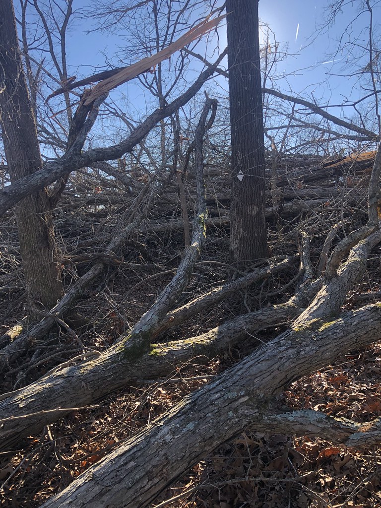 North/South TrailHiking · ~16 min drivePhoto: LandBetweentheLakesKYTN, Public Domain Mark (via Flickr)
- Hematite TrailHiking · Next doorPhoto: Bas van Oorschot, CC BY-SA 3.0 (via Wikimedia Commons)
 Energy Lake Loop 1Hiking · ~6 min drivePhoto: LandBetweentheLakesKYTN, Public Domain Mark (via Flickr)
- LBL-Wranglers Campground TrailHiking · ~15 min drive
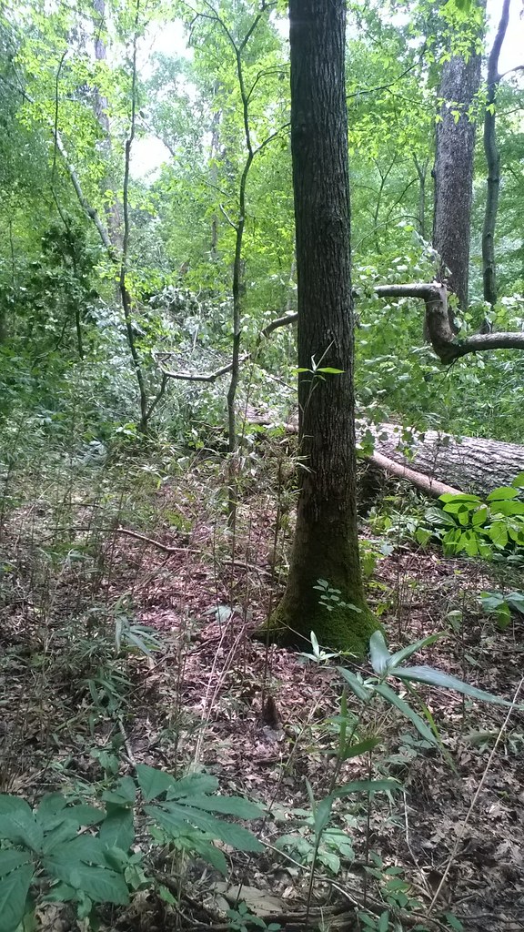 North/South TrailHiking · ~8 min drivePhoto: LandBetweentheLakesKYTN, Public Domain Mark (via Flickr)
- Sugar Jack SpringHiking · ~7 min drivePhoto: LandBetweentheLakesKYTN, Public Domain Mark (via Flickr)
- CENTRAL HARDWOODS SCENIC TRAILHiking · ~16 min drive
 North/South TrailHiking · ~8 min drivePhoto: LandBetweentheLakesKYTN, Public Domain Mark (via Flickr)
Best time to visit North / South Trail Connector
Best months: September–November. Best months have typical highs of 55–85 °F, lows of 30 °F or warmer (32 °F where the station doesn't record snow), at most one snowy day and no more than 12 wet days.
Jan
48° / 30°
12 wet
Feb
52° / 33°
12 wet
Mar
62° / 41°
13 wet
Apr
72° / 50°
13 wet
May
79° / 59°
13 wet
Jun
87° / 67°
11 wet
Jul
90° / 71°
11 wet
Aug
90° / 70°
10 wet
Sep
85° / 62°
8 wet
Oct
74° / 52°
10 wet
Nov
61° / 42°
11 wet
Dec
51° / 34°
12 wet
Typical high / low (°F) and days with rain or snow, 1991–2020. Measured at Eddyville 5s, KY, 10.3 mi away at 523 ft. This station doesn't record snowfall. Source: NOAA NCEI U.S. Climate Normals 1991–2020.
Map and trail data © OpenStreetMap contributors
