McCracken County Trail System
- 1.6 mi
- loop
- 183 ft
- climb
- 388 ft
- high point
- Loop
- route
- Mar–Jun, Sep–Nov
- best months
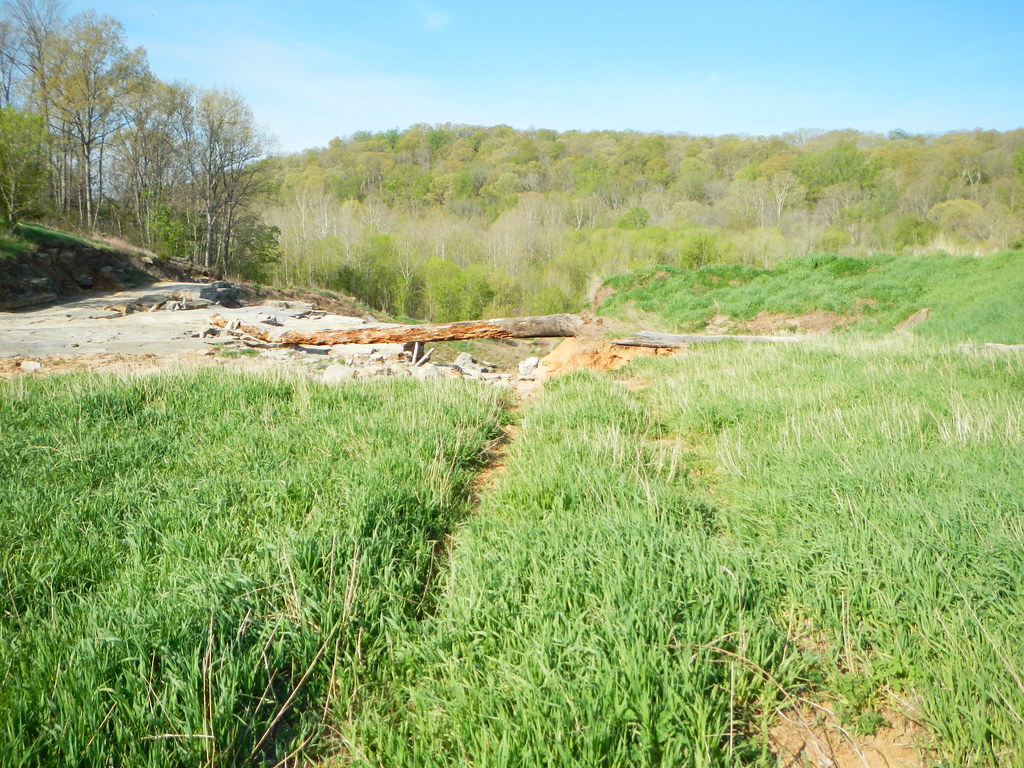
The McCracken County Trail System is a short, easy loop in western Kentucky, about a mile from the town of Cecil. The route is roughly 1.6 miles long, with a total climb of 183 feet and a high point of 388 feet. It's a low-key outing, and the trail is rated easy. Spring and fall are the most comfortable times to go. Typical averages from a nearby weather station show October highs around 71°F with lows near 47°F, and April highs around 69°F. That station sits at a similar elevation to the trail, so its figures are a fair guide. For a change of pace, Massac Creek, a canoeing spot, lies about 3.7 miles away.
Source: Roamze catalog (indexable pages within 10 miles, PostGIS distance)
 Cistern Loop #059Hiking · ~36 min drivePhoto: usfs_Eastern_Region, Public Domain Mark (via Flickr)
- Lake Glendale TrailHiking · ~38 min drivePhoto: usfs_Eastern_Region, Public Domain Mark (via Flickr)
 Millstone LakeHiking · ~46 min drivePhoto: Curtis Abert, CC BY 2.0 (via Flickr)
- Canal Loop TrailHiking · ~46 min drive
 Summers Pass Lake Glendale #053Hiking · ~37 min drivePhoto: Curtis Abert, CC BY 2.0 (via Flickr)
 North/South TrailHiking · ~46 min drivePhoto: LandBetweentheLakesKYTN, Public Domain Mark (via Flickr)
- WhiteHiking · ~46 min drive
 Lower Bluff Lake Glendale #055Hiking · ~38 min drivePhoto: Curtis Abert, CC BY 2.0 (via Flickr)
- Little Black Slough TrailHiking · ~42 min drive
- Bay CreekHiking · ~47 min drive
Best time to visit McCracken County Trail System
Best months: March–June and September–November. Best months have typical highs of 55–85 °F, lows of 30 °F or warmer (32 °F where the station doesn't record snow), at most one snowy day and no more than 12 wet days.
Jan
43° / 25°
9 wet
Feb
48° / 28°
8 wet
Mar
58° / 36°
10 wet
Apr
69° / 46°
11 wet
May
77° / 56°
11 wet
Jun
85° / 65°
8 wet
Jul
89° / 68°
8 wet
Aug
88° / 66°
7 wet
Sep
82° / 59°
7 wet
Oct
71° / 47°
7 wet
Nov
57° / 36°
8 wet
Dec
47° / 29°
10 wet
Typical high / low (°F) and days with rain or snow, 1991–2020. Measured at Brookport Dam 52, IL, 2.7 mi away at 330 ft. This station doesn't record snowfall. Source: NOAA NCEI U.S. Climate Normals 1991–2020.
Map and trail data © OpenStreetMap contributors
