North/South Trail
 Photo: LandBetweentheLakesKYTN, Public Domain Mark (via Flickr)
- 2.0 mi
- round trip
- 1,462 ft
- climb
- 503 ft
- high point
- Out and back
- route
- Sep–Nov
- best months
Clear at last check
Weather is good · OpenWeather · checked 18 h ago
North/South Trail is a 4-mile out-and-back hike in Land Between the Lakes National Recreation Area in Kentucky, managed by the Forest Service. The trail is rated moderate, with a total elevation gain of 1,462 feet over the round trip. The one-way climb reaches about 750 feet, and the steepest stretch comes at mile 1.7, where the grade reaches 18%. Spring and fall are the most comfortable times to go. Typical averages from a nearby weather station in Eddyville show October highs around 74°F with lows near 52°F, while July and August average highs of 90°F. Twin Lakes Campground is about 0.6 miles away, and the Canal Loop Trail is about 0.8 miles away. Birmingham Ferry Campground is about 3.6 miles away, and Cypress Creek, a canoeing spot, is about 9.7 miles away.
- Twin Lakes CampgroundCamping0.6 mi
- Canal Loop TrailHiking0.8 mi
- Nickell Branch-Backcountry AreaCamping1.3 mi
 North Paved TrailHikingPhoto: LandBetweentheLakesKYTN, Public Domain Mark (via Flickr)1.3 mi
- CANAL LOOPHiking1.4 mi
- HF HIKE BIKE SPORTS BRANCHHiking1.7 mi
- Birmingham Ferry CampgroundCamping3.6 mi
- Cypress CreekCanoeing9.7 mi
Source: Roamze catalog (indexable pages within 10 miles, PostGIS distance)
- Canal Loop TrailHiking · ~1 min drivePhoto: LandBetweentheLakesKYTN, Public Domain Mark (via Flickr)
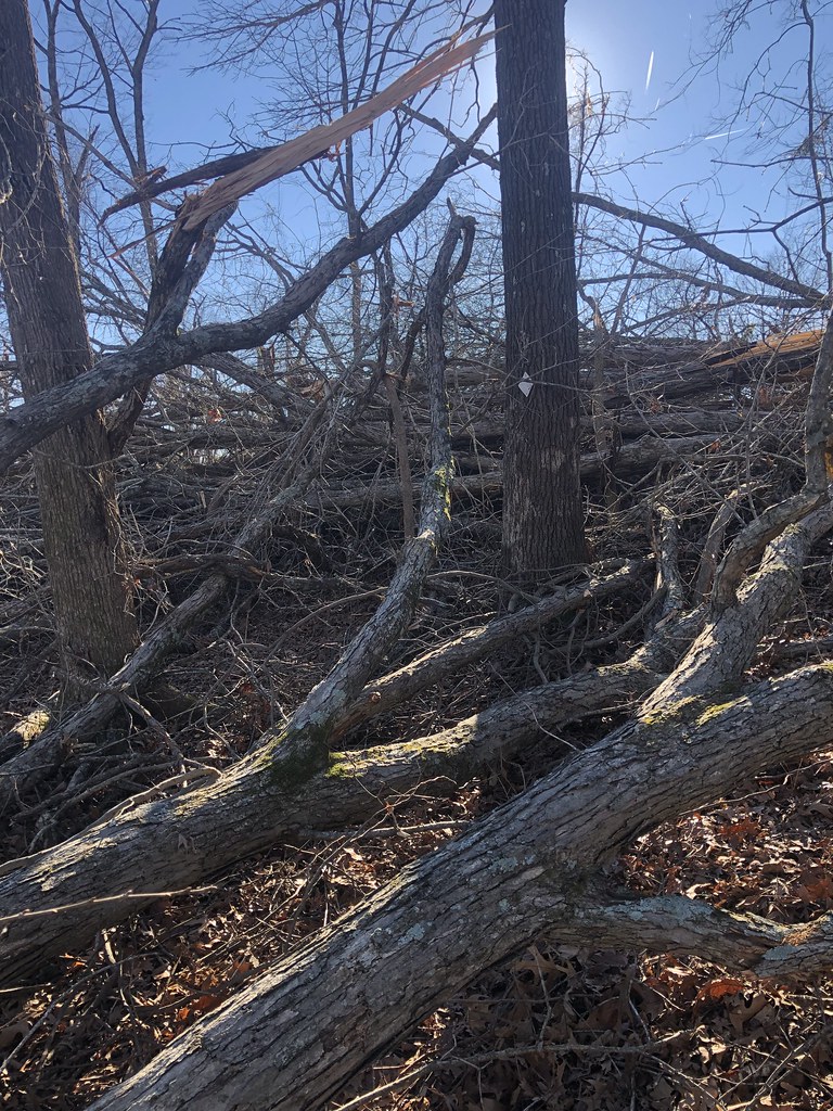 North/South TrailHiking · ~2 min drivePhoto: LandBetweentheLakesKYTN, Public Domain Mark (via Flickr)
 North/South TrailHiking · ~10 min drivePhoto: LandBetweentheLakesKYTN, Public Domain Mark (via Flickr)
- Canal Loop TrailHiking · ~1 min drive
- Trail Connector C (Canal Loop Trail)Hiking · ~1 min drivePhoto: LandBetweentheLakesKYTN, Public Domain Mark (via Flickr)
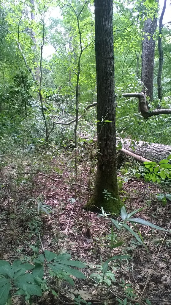 North/South TrailHiking · ~14 min drivePhoto: LandBetweentheLakesKYTN, Public Domain Mark (via Flickr)
- North Paved TrailHiking · ~2 min drivePhoto: LandBetweentheLakesKYTN, Public Domain Mark (via Flickr)
 North/South TrailHiking · ~16 min drivePhoto: LandBetweentheLakesKYTN, Public Domain Mark (via Flickr)
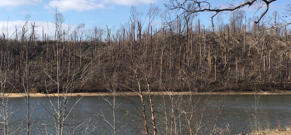 Brown Spring Loop (Red)Hiking · ~3 min drivePhoto: LandBetweentheLakesKYTN, Public Domain Mark (via Flickr)
 Hematite TrailHiking · ~17 min drivePhoto: Bas van Oorschot, CC BY-SA 3.0 (via Wikimedia Commons)
Best time to visit North/South Trail
Best months: September–November. Best months have typical highs of 55–85 °F, lows of 30 °F or warmer (32 °F where the station doesn't record snow), at most one snowy day and no more than 12 wet days.
Jan
48° / 30°
12 wet
Feb
52° / 33°
12 wet
Mar
62° / 41°
13 wet
Apr
72° / 50°
13 wet
May
79° / 59°
13 wet
Jun
87° / 67°
11 wet
Jul
90° / 71°
11 wet
Aug
90° / 70°
10 wet
Sep
85° / 62°
8 wet
Oct
74° / 52°
10 wet
Nov
61° / 42°
11 wet
Dec
51° / 34°
12 wet
Typical high / low (°F) and days with rain or snow, 1991–2020. Measured at Eddyville 5s, KY, 8.8 mi away at 523 ft. This station doesn't record snowfall. Source: NOAA NCEI U.S. Climate Normals 1991–2020.
Map and trail data © OpenStreetMap contributors
