Limestone Gorge Trail
- 1.3 mi
- loop
- 476 ft
- climb
- 681 ft
- high point
- Loop
- route
- Mar, Jun
- best months
Limestone Gorge Trail is a 1.3-mile loop hike in Kentucky's Broad Run area, on land managed jointly. The route starts and ends at nearly the same elevation, with a steady climb to a high point of 681 feet and a total gain of 476 feet. The trail is rated easy, and the trip takes about half an hour. Spring and fall are the most comfortable times to go. Typical averages from a nearby weather station show October highs around 70°F with lows near 48°F, and May highs around 77°F. July and August average highs of 87°F. The trail sits close to several other routes. Highland Crossing Trail is about 0.2 miles away and Leatherwood Trail about 0.3 miles. Greensward Trail is roughly 1.1 miles off, and paddlers can reach Floyds Fork, about 9.5 miles away.
- Highland Crossing TrailHiking0.2 mi
- Leatherwood TrailHiking0.3 mi
- Greensward TrailHiking1.1 mi
- Boone Bottoms TrailHiking1.4 mi
- Wild Hyacinth TrailHiking1.4 mi
- Big Beach TrailHiking5.9 mi
- Floyds ForkCanoeing9.5 mi
- East Fork Cox CreekCanoeing9.9 mi
Source: Roamze catalog (indexable pages within 10 miles, PostGIS distance)
 White Oak Nature TrailHiking · ~21 min drivePhoto: Marcin Wichary, CC BY 2.0 (via Flickr)
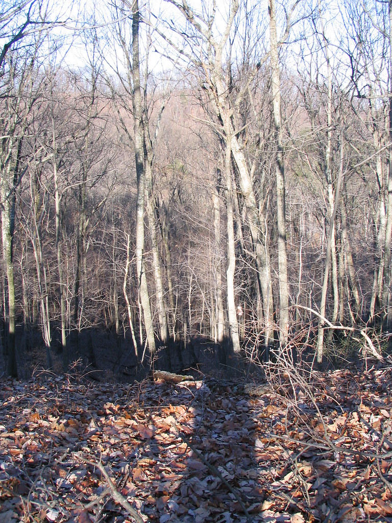 Mitchell Hill Lake TrailHiking · ~21 min drivePhoto: ConspiracyofHappiness, CC BY 2.0 (via Flickr)
- Siltstone TrailHiking · ~22 min drivePhoto: ConspiracyofHappiness, CC BY 2.0 (via Flickr)
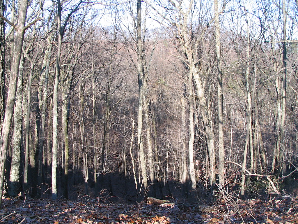 Orange TrailHiking · ~21 min drivePhoto: ConspiracyofHappiness, CC BY 2.0 (via Flickr)
- Yost Ridge TrailHiking · ~20 min drive
- Purple Heart - Lake ConnectorHiking · ~22 min drivePhoto: ConspiracyofHappiness, CC BY 2.0 (via Flickr)
- Coral Ridge TrailHiking · ~20 min drive
- Tom Wallace Lake Loop TrailHiking · ~22 min drivePhoto: ConspiracyofHappiness, CC BY 2.0 (via Flickr)
- Red TrailHiking · ~21 min drive
- Red Trail ShortcutHiking · ~22 min drivePhoto: ConspiracyofHappiness, CC BY 2.0 (via Flickr)
Best time to visit Limestone Gorge Trail
Best months: March, June and September–November. Best months have typical highs of 55–85 °F, lows of 30 °F or warmer (32 °F where the station doesn't record snow), at most one snowy day and no more than 12 wet days.
Jan
42° / 26°
12 wet
Feb
47° / 29°
11 wet
Mar
57° / 37°
12 wet
Apr
68° / 46°
13 wet
May
77° / 56°
13 wet
Jun
84° / 64°
12 wet
Jul
87° / 68°
11 wet
Aug
87° / 67°
9 wet
Sep
81° / 59°
8 wet
Oct
70° / 48°
9 wet
Nov
56° / 38°
10 wet
Dec
46° / 30°
13 wet
Typical high / low (°F) and days with rain or snow, 1991–2020. Measured at Louisville Wfo, KY, 6 mi away at 632 ft. This station doesn't record snowfall. Source: NOAA NCEI U.S. Climate Normals 1991–2020.
Map and trail data © OpenStreetMap contributors
