Box Canyon Trail
- 0.5 mi
- loop
- 152 ft
- climb
- 934 ft
- high point
- Loop
- route
- Jun, Aug–Oct
- best months
Box Canyon Trail is a short, easy hike in Carter Caves State Resort Park in Kentucky, managed by State Park and Recreation. The trail is half a mile long, with a total elevation gain of 152 feet, and it starts at about 823 feet, rising to a high point of 934 feet before descending slightly. The most comfortable months for a visit are typically late spring and early fall. Typical averages from a nearby weather station show May highs around 74°F and September highs around 76°F, with September also seeing the fewest wet days of the year. The trail takes about half an hour to complete. It sits within a cluster of other outdoor options. The 4 C's Trail and Collings Passage Trail are each about a mile away, and the Carter Caves climbing area is about 1.3 miles off. Tygarts Creek, a canoeing route, is about 1.4 miles away.
- 4 C's TrailHiking1.1 mi
- Collings Passage TrailHiking1.1 mi
- Carter CavesRock climbing1.3 mi
- Tygarts CreekCanoeing1.4 mi
- Horn Hollow TrailHiking1.5 mi
- Kiser Hollow TrailMountain biking1.6 mi
- Buffalo CreekCanoeing5 mi
 Grayson Lake Damsite SheltersCampingPhoto: Recreation.gov (RIDB) / public domain9.8 mi
Source: Roamze catalog (indexable pages within 10 miles, PostGIS distance)
 Hiking TrailHiking · ~16 min drivePhoto: Peggy Noel, U.S. Army Corps of Engineers, Public domain (via Wikimedia Commons)
 Sheltowee Trace Trail #100Hiking · ~35 min drivePhoto: douglas haase, CC BY 2.0 (via Flickr)
- Kiser Hollow TrailHiking · ~3 min drive
- Michael Tygart TrailHiking · ~26 min drive
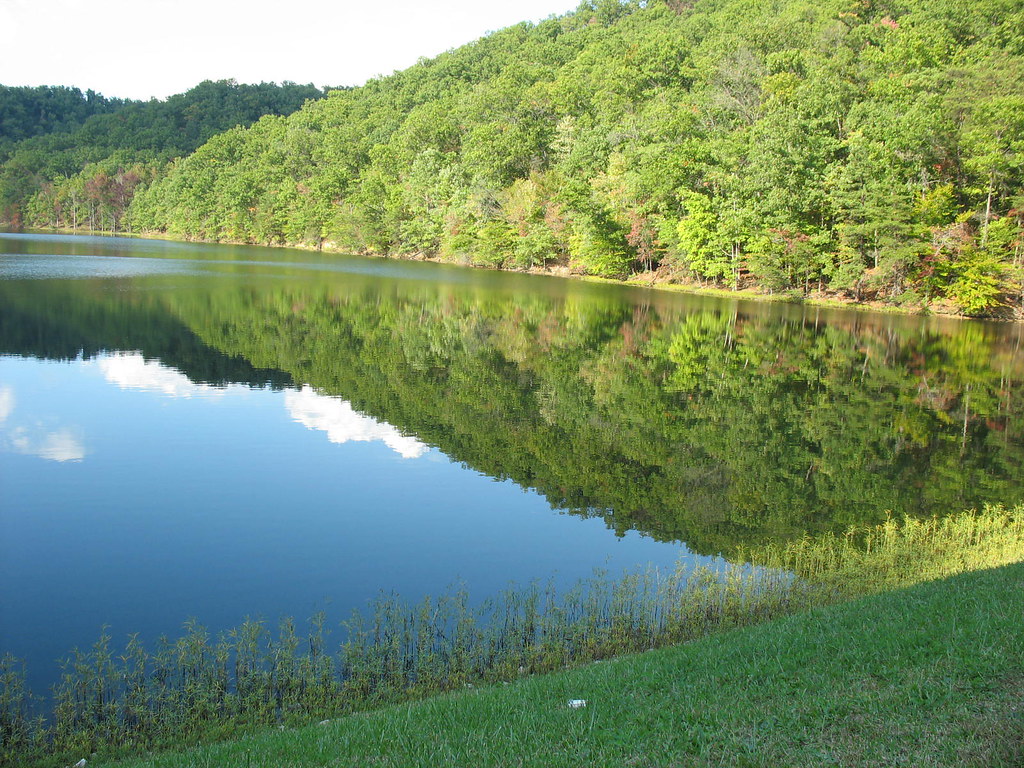 Eagle Lake TrailHiking · ~36 min drivePhoto: Chris Breeze, CC BY 2.0 (via Flickr)
- 4 C's TrailHiking · ~2 min drive
- Claylick Loop Mountain Bike TrailHiking · ~25 min drive
- Sheltowee Trace Trail #100Hiking · ~29 min drive
 Sheltowee Trace Trail #100Hiking · ~40 min drivePhoto: US Forest Service - Southern Region, Public Domain Mark (via Flickr)
- 4 C's TrailHiking · ~2 min drive
Best time to visit Box Canyon Trail
Best months: June and August–October. Best months have typical highs of 55–85 °F, lows of 30 °F or warmer (32 °F where the station doesn't record snow), at most one snowy day and no more than 12 wet days.
Jan
40° / 21°
14 wet
Feb
45° / 23°
12 wet
Mar
54° / 29°
12 wet
Apr
66° / 38°
13 wet
May
74° / 50°
14 wet
Jun
79° / 59°
12 wet
Jul
82° / 63°
13 wet
Aug
82° / 60°
11 wet
Sep
76° / 54°
9 wet
Oct
66° / 40°
10 wet
Nov
54° / 30°
10 wet
Dec
44° / 26°
13 wet
Typical high / low (°F) and days with rain or snow, 1991–2020. Measured at Olive Hill 5ne, KY, 1 mi away at 888 ft. This station doesn't record snowfall. Source: NOAA NCEI U.S. Climate Normals 1991–2020.
Map and trail data © OpenStreetMap contributors
