4 C's Trail
- 1.5 mi
- round trip
- 1,095 ft
- climb
- 1,030 ft
- high point
- Out and back
- route
- Jun, Aug–Oct
- best months
Clear today
Weather is good · OpenWeather · checked just now
4 C's Trail is a 3-mile out-and-back hike in Carter Caves State Resort Park in Kentucky, managed by State Park and Recreation. The trail starts at about 1,030 feet and climbs to a high point of 1,030 feet, with a total gain of 1,095 feet over the course of the round trip. The steepest stretch comes at about 1.4 miles in, where the grade reaches 15 percent. The most comfortable months for a visit are typically September and October, when typical averages from a nearby weather station run from highs of 76°F and lows of 54°F in September to highs of 66°F and lows of 40°F in October. Spring is similar, with April averaging highs around 66°F. The trail pairs easily with other outings in the park. Collings Passage Trail lies just 0.1 mile away, and Box Canyon Trail and Horn Hollow Trail are both within about a mile and a half. Climbers can head to Carter Caves, roughly 1.3 miles off.
- Collings Passage TrailHiking0.1 mi
- Kiser Hollow TrailMountain biking0.6 mi
- Box Canyon TrailHiking1.1 mi
- Carter CavesRock climbing1.3 mi
- Horn Hollow TrailHiking1.3 mi
- Cave Branch TrailHiking1.8 mi
- Tygarts CreekCanoeing2.4 mi
- Buffalo CreekCanoeing4.8 mi
Source: Roamze catalog (indexable pages within 10 miles, PostGIS distance)
 Hiking TrailHiking · ~18 min drivePhoto: Peggy Noel, U.S. Army Corps of Engineers, Public domain (via Wikimedia Commons)
 Sheltowee Trace Trail #100Hiking · ~33 min drivePhoto: douglas haase, CC BY 2.0 (via Flickr)
- Kiser Hollow TrailHiking · ~1 min drive
- Michael Tygart TrailHiking · ~27 min drive
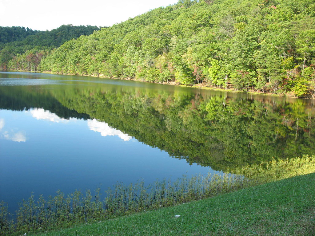 Eagle Lake TrailHiking · ~34 min drivePhoto: Chris Breeze, CC BY 2.0 (via Flickr)
- 4 C's TrailHiking · Next door
- Claylick Loop Mountain Bike TrailHiking · ~27 min drive
- Sheltowee Trace Trail #100Hiking · ~27 min drive
 Sheltowee Trace Trail #100Hiking · ~39 min drivePhoto: US Forest Service - Southern Region, Public Domain Mark (via Flickr)
- Red Trillium LoopHiking · ~33 min drive
Best time to visit 4 C's Trail
Best months: June and August–October. Best months have typical highs of 55–85 °F, lows of 30 °F or warmer (32 °F where the station doesn't record snow), at most one snowy day and no more than 12 wet days.
Jan
40° / 21°
14 wet
Feb
45° / 23°
12 wet
Mar
54° / 29°
12 wet
Apr
66° / 38°
13 wet
May
74° / 50°
14 wet
Jun
79° / 59°
12 wet
Jul
82° / 63°
13 wet
Aug
82° / 60°
11 wet
Sep
76° / 54°
9 wet
Oct
66° / 40°
10 wet
Nov
54° / 30°
10 wet
Dec
44° / 26°
13 wet
Typical high / low (°F) and days with rain or snow, 1991–2020. Measured at Olive Hill 5ne, KY, 1.9 mi away at 888 ft. This station doesn't record snowfall. Source: NOAA NCEI U.S. Climate Normals 1991–2020.
Map and trail data © OpenStreetMap contributors
