Indiana Dunes State Park
 Photo: Lori McCallister, CC BY 2.0 (via Wikimedia Commons)
- State Park and Recreation
- managed by
- Apr–Oct
- best months
Is Indiana Dunes State Park open right now?
Closure in the area
There's a closure order in Indiana Dunes National Park. It doesn't name Indiana Dunes State Park, so check the source for the area it covers (6 listed).
Partial Trail Closures on Bailly / Chellberg Trail
Park closure covering Indiana Dunes National Park · NPS · Indiana Dunes National Park
Closure - Heron Rookery Trail
Park closure covering Indiana Dunes National Park · NPS · Indiana Dunes National Park
Partial Closure - Upland Trail
Park closure covering Indiana Dunes National Park · NPS · Indiana Dunes National Park
Closure - Hobart Woodland Trail
Park closure covering Indiana Dunes National Park · NPS · Indiana Dunes National Park
Partial Trail Closure - Dunewood Trace
Park closure covering Indiana Dunes National Park · NPS · Indiana Dunes National Park
As of · Source: NPS · Indiana Dunes National Park. Agencies don't list every closure — check before you go.
Indiana Dunes State Park is a state park in northern Indiana, about 2 miles from the town of Dune Acres. It sits within the boundaries of Indiana Dunes National Park, and the land is managed by State Park and Recreation. Summer is the warmest stretch here. Typical averages from a nearby weather station show July highs around 82°F with lows near 64°F, while September cools to highs in the mid-70s. Several trails start close by. Beach Trail is under a mile away, and Glenwood Dunes Trails and Calumet Dunes Trail are each within about 2.3 miles. Paddlers can reach the Lake Michigan Water Trail roughly 7 miles off.
Park size
558 acres
Inside this park
Trails
- Beach TrailHiking0.8 mi
- Glenwood Dunes TrailsHiking1.3 mi
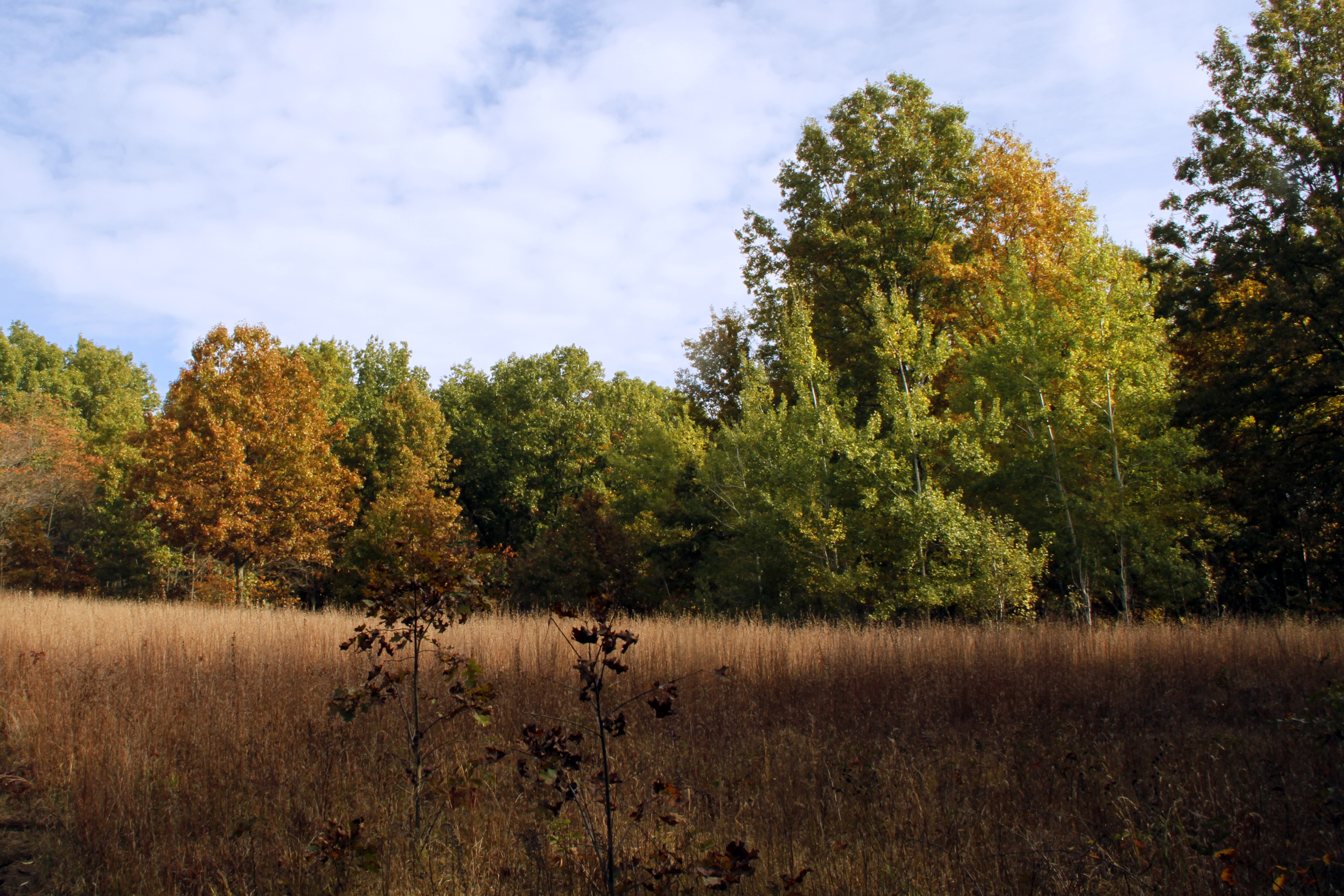 Glenwood Dunes Trail (Main)HikingPhoto: NPS Photo / Jeff Manuszak1.9 mi
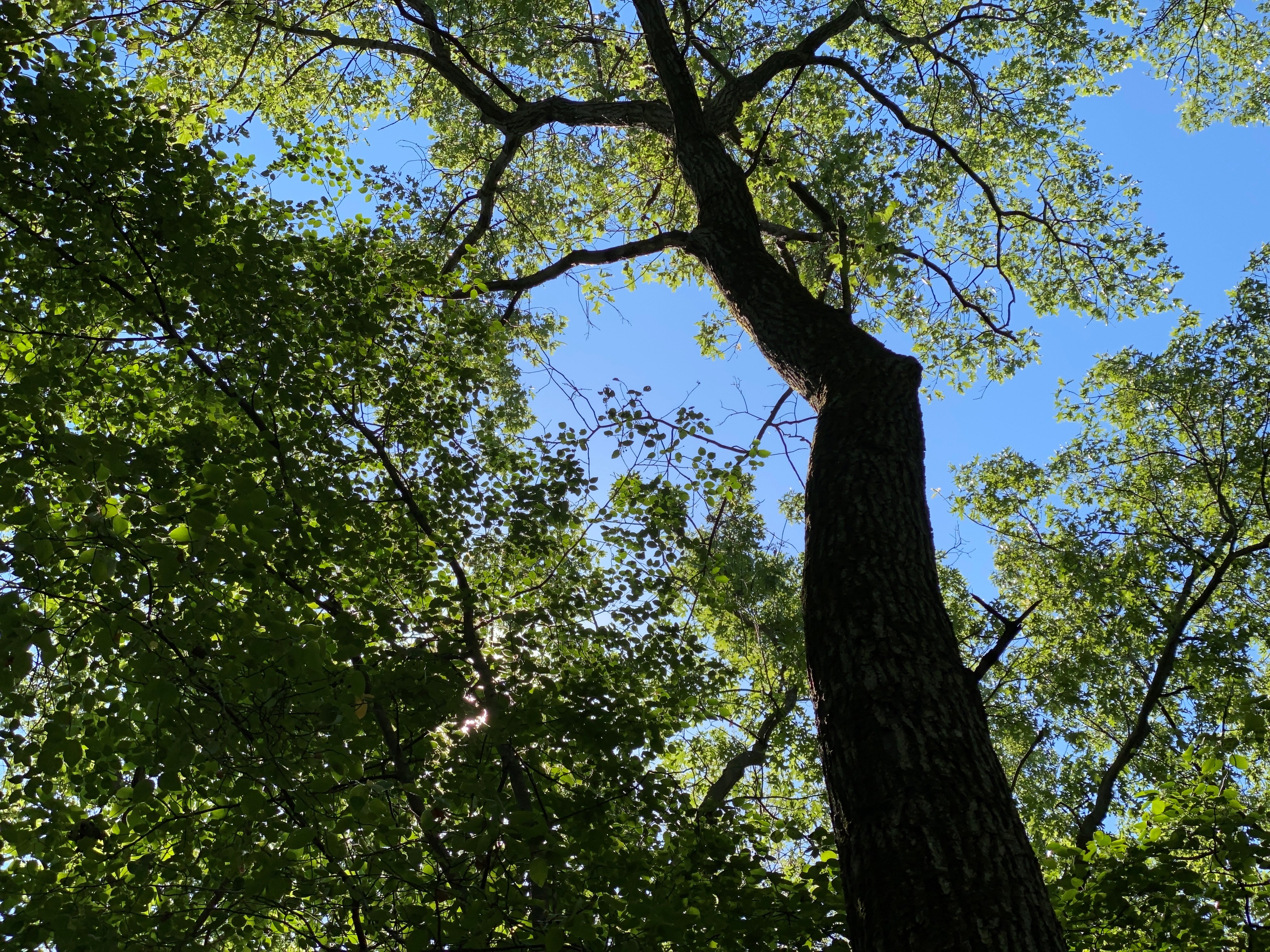 Calumet Dunes TrailHikingPhoto: NPS Photo / Steven M. Rossi2.3 mi
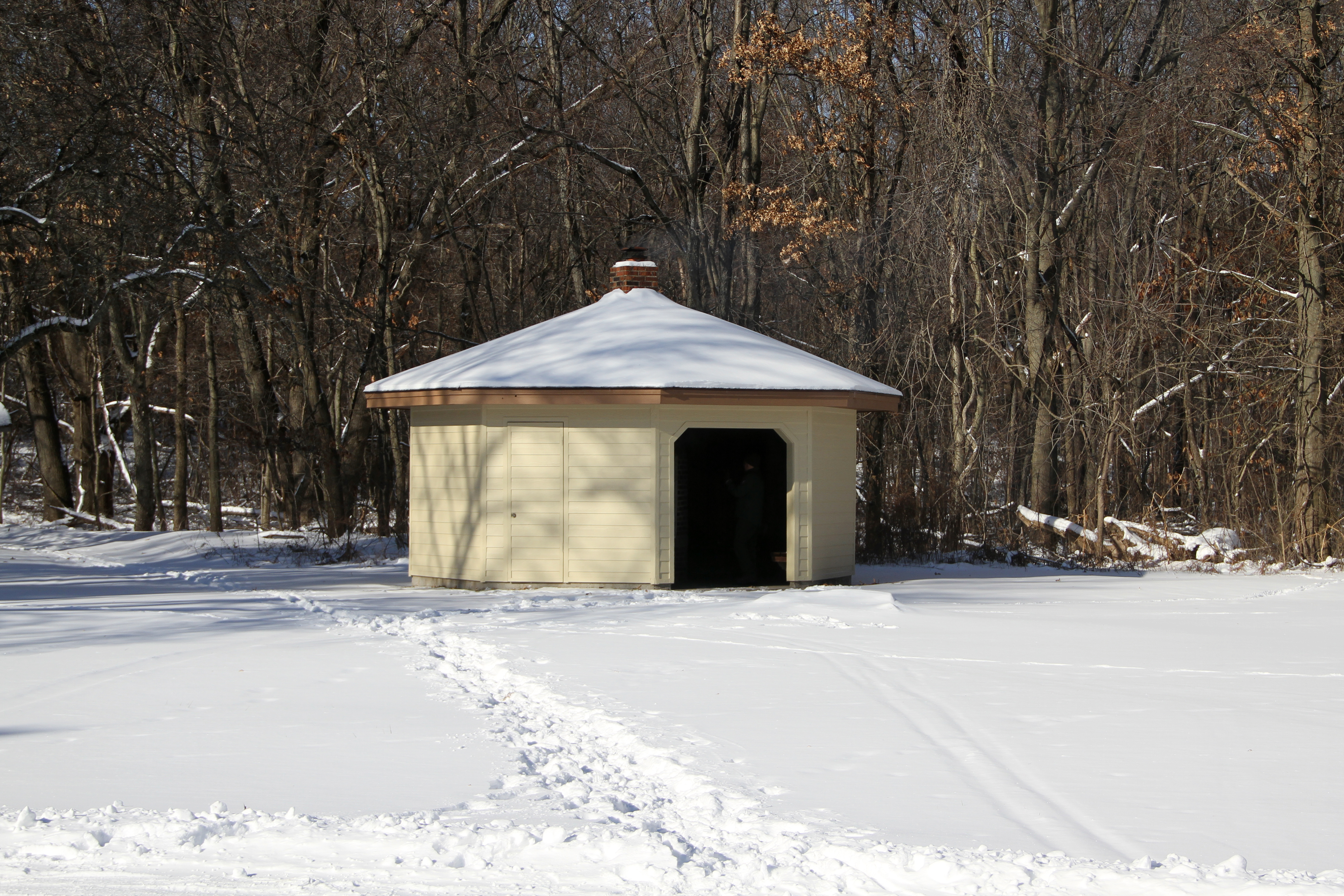 Glenwood Dunes Trail (Alternate)HikingPhoto: NPS Photo / K. George2.3 mi
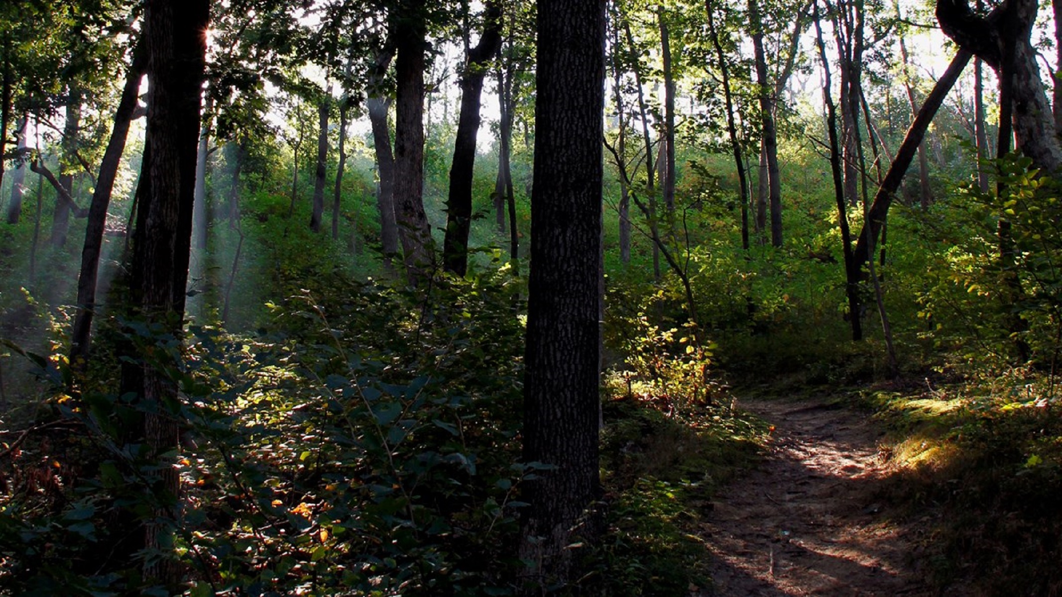 Dune Ridge TrailHikingPhoto: NPS Photo / K. George2.8 mi
 East Arm Little Calumet RiverCanoeingPhoto: Schmiebel, CC BY-SA 3.0 (via Wikimedia Commons)6.1 mi
- Lake Michigan Water TrailCanoeing6.8 mi
Source: Roamze catalog (indexable pages within 10 miles, PostGIS distance)
 Warren Woods State ParkState park · ~44 min drivePhoto: Schmiebel, CC BY-SA 3.0 (via Wikimedia Commons)
 Warren Dunes State ParkState park · ~52 min drivePhoto: hakkun, CC BY-SA 3.0 (via Wikimedia Commons)
 Grand Mere State ParkState park · ~1h drivePhoto: Cody Hough, CC BY-SA 3.0 (via Wikimedia Commons)
 Tippecanoe River State ParkState park · ~1h 15m drivePhoto: Chris Light, CC BY-SA 3.0 (via Wikimedia Commons)
- Dunes Prairie Nature PreserveState park · ~1 min drive
- Dunes Nature PreserveState park · ~3 min drive
- William W. Powers State Recreation AreaState park · ~42 min drive
- Potato Creek State ParkState park · ~1h 3m drive
- Swamp Rose Nature PreserveState park · ~1h 5m drive
- Sandhill Nature PreserveState park · ~1h 11m drive
Best time to visit Indiana Dunes State Park
Best months: April–October. Best months have typical highs of 55–85 °F, lows of 30 °F or warmer (32 °F where the station doesn't record snow), at most one snowy day and no more than 12 wet days.
Jan
32° / 18°
12 wet
Feb
36° / 21°
10 wet
Mar
46° / 30°
11 wet
Apr
57° / 40°
11 wet
May
68° / 50°
12 wet
Jun
78° / 60°
11 wet
Jul
82° / 64°
10 wet
Aug
80° / 63°
10 wet
Sep
74° / 56°
10 wet
Oct
62° / 45°
11 wet
Nov
49° / 34°
11 wet
Dec
37° / 24°
12 wet
Typical high / low (°F) and days with rain or snow, 1991–2020. Measured at Indiana Dunes Nl, IN, 2.4 mi away at 680 ft. We don't have this place's elevation, so higher spots nearby can run cooler. This station doesn't record snowfall. Source: NOAA NCEI U.S. Climate Normals 1991–2020.
