Loading…

Free — you'll pick up right here.
Watch this trail
Sign up to watch it — saving subscribes you to gate, closure and report changes.
Indiana
0.4 mi
Distance
161 ft
Gain
11 min
Time
We won't guess. Here is exactly what we do and don't know.
What we do know
Inside Indiana Dunes National Park
National Park unit boundary is mapped — agency alerts for it feed this page automatically.
Boundary data
What's missing
No access route mapped
We don't yet know which road reaches this trailhead, so we can't tell you if it's gated.
Nobody's filed a report here yet — be the first.
Why you'll love it
Dune Ridge Trail
AI-suggested draft · review before you go
No permit or access details on file for this trail — check with the local land manager before you go.
<h3>Dune Ridge Trail</h3> 0.7 miles, 73 feet of elevation gain, 4% average grade, 11% maximum grade<br /> Hike time: 30 minutes<br /> <br /> The Dune Ridge Trail offers great views of the extensive wetlands and forests south of this tall, forested dune. The different habitats you'll see along the trail help make Indiana Dunes National Park one of the top most biologically diverse of all the national parks.<br /> <br /> The featured hike is a lollipop shaped trail. From the parking lot trailhead, head south with a short tour through a foredune complex on sandy soil. It transitions into an oak savanna with a more stable soil structure, which provides better footing. At the junction with the loop trail, turn left to hike the loop in the clockwise direction. The loop starts on an old roadbed and you will need to turn right to leave the wide road onto single track. The trail will climb to the top of the dune offering sweeping views of the Great Marsh. Follow the trail along the ridge line before hiking down a steep section of loose sand. The trail will wind back to the loop junction. At the junction, turn left and follow the trail north to the parking lot.<br /> <br /> <em>Trail Features: Overlook, Birding, Fall Colors, Wildflowers and Wildlife<br /> Must See Gems: Great Marsh Overlook, Kemil Beach</em> <h4>History and Background</h4> Perhaps no other area in Indiana Dunes National Park will take you through as many diverse habitats in a short trail. Begin your habitat adventure by following the trail located in the southeast corner of the parking lot through the foredune habitat. Foredunes contain many pioneer plants such as marram and little bluestem grasses and cottonwood trees. These plants are specially adapted to live in the dunes where moving sand sometimes partially buries or uncovers plant stems and roots. Although those grasses may seem hearty, they may die when stepped upon. Able to withstand battering by sand and wind, grasses will eventually succumb to the shade of taller plants providing the necessary soil for the oak forest that lies ahead. <hr /> <h4>Getting There</h4> <br /> <strong>Dune Ridge Trailhead and Kemil Beach Parking Lot</strong><br /> North of U.S. Highway 12 on East State Park Road (300E), Beverly Shores, IN 46301.<br /> <em>Note</em>: East State Park Road is called Kemil Road to the south of U.S. Highway 12.<br /> <br /> <strong>Trailhead GPS Coordinates</strong><br /> 41.677357, -87.008950 (Decimal Degrees) <hr /> <h4>Need to Know</h4> <strong>Hours & Information</strong> <ul> <li>Hours – Open daily from 6:00 am to 11:00 pm.</li> <li>Trail Length – 0.7 miles. 73 feet of elevation gain, 11% maximum grade.</li> <li>Hike Time – 30 minutes to 1 hour.</li> <li>Difficulty – Moderate with some steep slopes in loose sand.</li> <li>Trail Surface – Mixture of loose sand and packed dirt.</li> <li>Facilities – Year-round restrooms and potable water.</li> <li>Pets – Permitted on a leash (6' or shorter).</li> <li>Prohibited – Bicycles and motorized vehicles.</li> <li>Prohibited – Littering, hunting, and removing plants.</li> <li>Parking lot is paved and will fill up quickly on summer weekends.</li> <li>Visit the Kemil Beach page for information on swimming and other beach activities.</li> </ul> <strong>Safety</strong> <ul> <li>Please stay on the trail and respect closed area signs. Going off trail damages fragile habitat.</li> <li>Ticks are present year-round. Take precautionary measures to prevent bites.</li> <li>Poison ivy can be present on the edges of the trail.</li> <li>Be prepared for changing weather conditions.</li> <li>In case of an emergency or to report a crime, call 1-800-PARK-TIP.</li> </ul> <strong>Accessibility</strong> <ul> <li>Trails are not wheelchair accessible. Restrooms are accessible.<span style="display: none;"> </span><span style="display: none;"> </span><span style="display: none;"> </span></li> </ul> <hr /> <h4>Trail Map</h4> <figcaption><a href="https://www.nps.gov/indu/planyourvisit/images/DUNES_RIDGE-trail-map-2022-web.jpg">View a detailed map of the Dune Ridge Trail.</a><br /> <br /> All <a href="https://www.nps.gov/indu/planyourvisit/hiking.htm">hiking trail maps</a> of the Indiana Dunes National Park are available online on our website or in paper at the trailhead kiosk or the <a href="https://www.nps.gov/places/indiana-dunes-visitor-center.htm">Indiana Dunes Visitor Center</a>.<br /> </figcaption> <hr /> <h4>Nearby Hikes</h4> <a href="https://www.nps.gov/indu/planyourvisit/gm16.htm">Great Marsh</a><br /> <a href="https://www.nps.gov/indu/planyourvisit/mb16.htm">Mount Baldy</a><br /> <a href="https://www.nps.gov/indu/planyourvisit/gd16.htm">Glenwood Dunes</a>
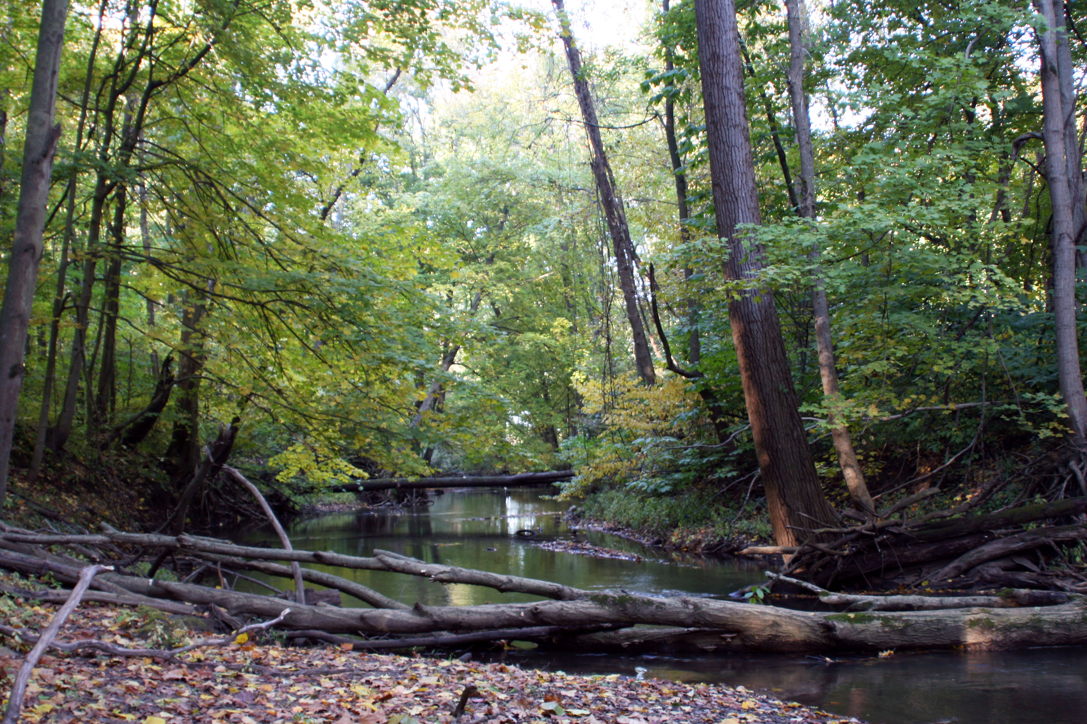
Heron Rookery (West)
~7 min drive
<h3>Heron Rookery Trail</h3> 3.3 miles, 12 feet of elevation gain, 0% average grade, 1% maximum grade<br /> Hike time: 2 hours<br /> <br /> The Heron Rookery Trail follows along a portion of the Little Calumet River that once featured over 100 Great Blue Heron nests. After 60…
Trail 10
~1 min drive
A 2.75-mile point-to-point trail through Indiana.
Trail 7
~4 min drive
Quick 0.51-mile point-to-point trail in Indiana.
Trail 4
~4 min drive
A short point-to-point trail ideal for a quick Indiana nature walk.
Beach Trail
~5 min drive
Quick point-to-point beach access trail in Indiana.
Trail 3
~6 min drive
A short point-to-point trail ideal for quick outdoor walks.
Little Calumet River Trail
~11 min drive
Scenic riverside point-to-point trail along the Little Calumet River.
Dlt R - Long Beach to New Buffalo
~15 min drive
Scenic 8.38-mile lakeside point-to-point trail along Indiana's Lake Michigan shore.
Dlt J - Midwest to Howe
~16 min drive
6.11-mile point-to-point Indiana trail from Midwest to Howe.
Dlt H - N. Lake to Midwest Rd
~25 min drive
5.5-mile point-to-point trail from N. Lake to Midwest Rd in Indiana.